National Historic Site of Canada
Victoria District National Historic Site of Canada
Pakan, Alberta
Also known as Victoria District, Arrondissement de Victoria, Victoria Settlement
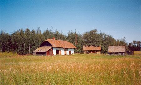
Old Cybuliak Property at the Victoria District, 2000.
Photo: Agence Parcs Canada/ Parks Canada Agency, Lynda Villeneuve, 2000.
- Built
- 1863–2000
- Recognized
- 2001
- By
- Government of Canada
The register’s text, word for word
Description
Victoria District National Historic Site of Canada is a large, rural cultural landscape in Alberta, northeast of Edmonton. It is characterized by farmlands organized in long narrow river lots, running back from the North Saskatchewan River for about 12 km of its length, as well as others organized in 800 square meters sections. These areas, including the Lobstick Settlement to the west, the Victoria Settlement (renamed ''Pakan'') to the east, and an old Ukrainian settlement north of Victoria Settlement, contain farmsteads dotted through the landscapes, along the old Victoria Trail, as well as historic buildings clustered at the former site of McDougall's Mission and at the old Ukrainian settlement. The designation refers to the land and buildings within the site boundaries.
Heritage value
Victoria District was designated a national historic site because its cultural landscape, through highly visible and intact physical attributes, represents an exceptional illustration in one concentrated area of major themes in Prairie settlement including the development of the fur trade, the establishment of the Métis river lot system, the arrival of missions, Prairie agricultural development and the establishment of eastern European immigrants at the beginning of the 20th-century.
Its heritage values resides in the topography and settlement forms, including land-usage patterns and architecture, that speak to the history of settlement in this area. It was the district's strategic location as a stop on Cree and Stony First Nations' migration routes that first led non-Aboriginal settlers under George McDougall to establish a Methodist Mission in 1863. Métis began establishing river-lot farms in 1865, with Ukrainian, British, Canadian and American settlers engaging in more intensive farming organized in the Township survey system from the early years of the twentieth century.
SourceHistoric Sites and Monuments Board of Canada, Minutes, December 2000, June 2003.
Character‑defining elements
Key elements of the site include:
- the topography, defined by the North Saskatchewan River valley;
- the discernible route of the Victoria Trail with access paths to the river;
- archaeological vestiges from Aboriginal land-usage, particularly along the river;
- the long, narrow river lots, separated by rows of deciduous trees, and extending about 12 km along the river's
shoreline;
- surviving homes illustrating Métis construction techniques using local poplar and spruce logs or squared timbers;
- the riverside locations of the former McDougall Mission and Hudson's Bay Company post;
- evidence of the former ferry site;
- the 1906 Methodist church in its location, form and materials;
- the Hudson's Bay Company clerk's quarters in its massing and materials;
- surviving elements of the Ukrainian settlement patterns north of Victoria with farmsteads lining the road;
- Ukrainian-built farmsteads with small, south-facing, whitewashed rectangular houses of log construction, set
among farm buildings and groves of trees;
- the old Ukrainian schoolhouse in its location, form and materials;
- cemeteries with their landscaping elements and grave markers.
End of the register’s text
Location
Junction of Highway 855 and North side of North Saskatchewan River, Pakan, Alberta, Canada
53.99391° N, 112.47406° W
Get directions (opens in a new tab)Being on the register doesn’t make a place open to visitors. Many are private homes or businesses; please view them from the street.

Loading map…
Nearby
 River Lot 3, Victoria Settlement5.5 km · near Pakan · 1882
 Nativity of the Holy Virgin Orthodox Church of Kysylew12 km · near Andrew · 1950
 Canadian Northern Railway Station13 km · Smoky Lake · 1919
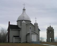 Presentation of the Blessed Virgin Mary Ukrainian Catholic Church (Delph)13 km · near Lamont · 1917
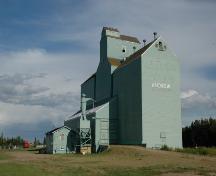 Alberta Wheat Pool Grain Elevator Site Complex16 km · Andrew · 1929
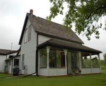 McDONALD STOPPING HOUSE18 km · Near Waskatenau · 1909
Similar places
Places whose register descriptions are closest to this one.
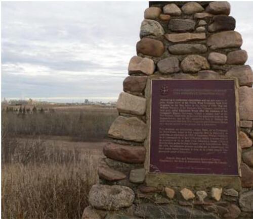 Fort Augustus and Fort Edmonton National Historic Site of CanadaLamoureux, Alberta
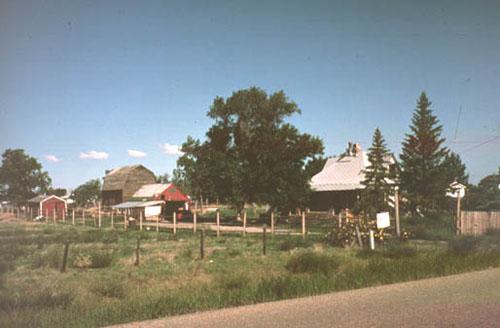 Stirling Agricultural Village National Historic Site of CanadaStirling, Alberta
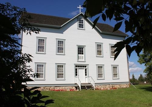 Notre Dame des Victoires / Lac La Biche Mission National Historic Site of CanadaLac la Biche, Alberta
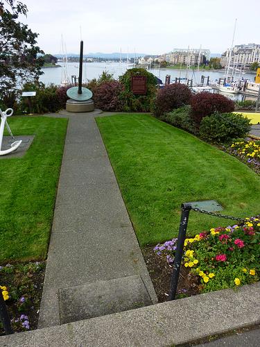 Fort Victoria National Historic Site of CanadaVictoria, British Columbia
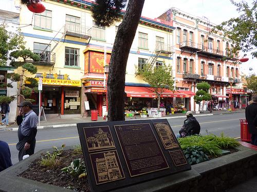 Victoria's Chinatown National Historic Site of CanadaVictoria, British Columbia
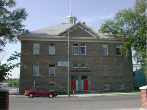 Victoria Sandstone SchoolCalgary, Alberta
From the Canadian Register of Historic Places, as last updated on December 12, 2025. The register’s text is shown word for word.