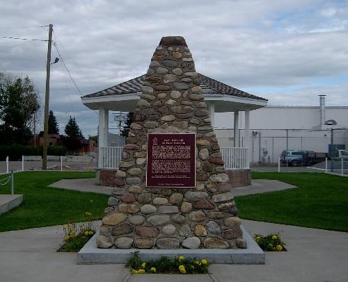
Stirling Agricultural Village National Historic Site of Canada
Also known as: Stirling Agricultural Village National Historic Site of Canada, Stirling Agricultural Village, Village agricole de Stirling
Description
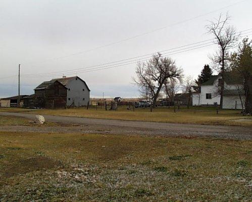
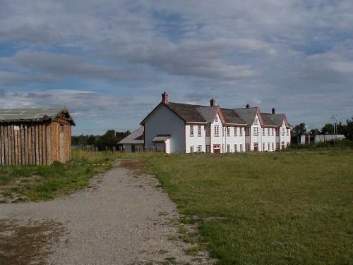
Stirling Agricultural Village occupies one-square mile (260 hectares) of land in the heart of the short-grass prairie of southern Alberta, appearing as an oasis of trees and farmsteads amid a flat, open landscape. The one-section plat is laid out in a regular grid of wide streets with each ten-acre (4.1 hectares) block divided into large lots with widely spaced, wood-frame houses, agricultural outbuildings, gardens and animal pens. The village also includes a commercial area, a school and a church.
Heritage Value
Stirling Agricultural Village was designated a national historic site of Canada because it is the best surviving example of a Mormon agricultural village.
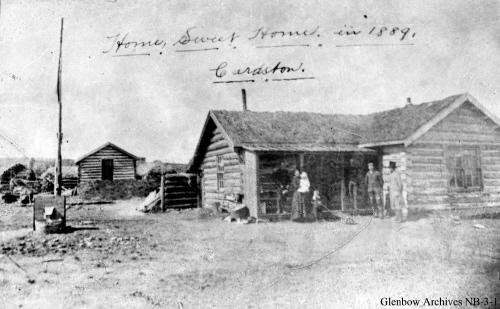
The heritage value of the village resides in its illustration of a typical Mormon settlement form from the turn of the twentieth century. It was introduced to southern Alberta by members of the Church of Jesus Christ of Latter-day Saints who settled in this region during the Great Wheat Boom era from the late 1890s to 1914. The village of Stirling was founded in 1899 through a partnership between the Alberta Railway and Irrigation Company and the LDS Church to bring American immigrants to build an irrigation canal and found two villages, Stirling and Cardston.
Sources: Historic Sites and Monuments Board of Canada, Minutes, February 1989; Commemorative Integrity Statement, 1996.
Character-Defining Elements
Key features contributing to the heritage value of this site include:
- the location of the village near the Galt Canal and the junction of two regional railway lines,
- the one-square mile plat with its grid plan created by 100-foot (30.5 metres) wide streets forming ten-acre blocks, divided into eight lots of 1.25 acres (5058.6 square metres),
- remnants of ditches, culverts, levees, cisterns, and an irrigation channel that drew water from the Galt Canal,
- abundance of vegetation including poplars, cottonwoods, pine, elm, ash, and fruit trees; berry and flowering bushes; carrigana hedges; pastures; and gardens,
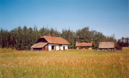
- surviving traditional farmsteads with house set back 25 feet (7.6 metres) from the street at one corner of the property, a shelter belt of trees or bushes along the street in front and beside the house, barns and outbuilding grouped at the back of the property, a garden close to the house with a nearby root cellar, with remainder of the lot for corrals and pasture,
- separation of lots with fences of varied materials and design,
- the presence of a school and a Mormon church,
- the collection of houses, barns and outbuildings that survive from the pre-World War Two period in their surviving form and materials.
Gallery
1 imageLocation
Loading map...
Similar Places
Heritage sites with similar characteristics