Provincial Heritage Site
Stott Site
Brandon, Manitoba
Also known as Grand Valley Provincial Recreation Park, Stott Mound and Camp Site (DlMa-1), Butte et terrain de campement Stott (DlMa-1)
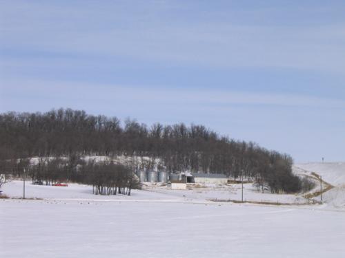
Contextual view of the Stott Site, Brandon area, 2004
Photo: Historic Resources Branch, Manitoba Culture, Heritage, Tourism and Sport, 2004
- Recognized
- 1948
- By
- Province of Manitoba
The register’s text, word for word
Description
The Stott Site, about five kilometres west of Brandon, comprises an ancient First Nations burial mound, bison kill site and campsite, all of which are contained on a section of the steep slope and flat floodplain of the Assiniboine River valley. A dense forest of trees marks the rim of the upper slope. The provincial designation applies to the large area of a part of a quarter-section site.
Heritage value
The value of the Stott Site lies primarily in its function as a bison kill site. It was at this location, where the northeastern slope of the Assiniboine river valley is markedly steeper than other areas, where First Nations peoples trapped and killed large numbers of bison approximately 1,000 years ago. In the shelter of the valley wall they also collected and processed the meat and other local resources like fish, birds and berries. Over the years the area became an important burial site. Archaeological evidence of hunting, meat processing, habitation and mortuary activities lay buried beneath the ground within the forested slopes of the valley wall and out onto the river's floodplain.
SourceMinister in Charge of Libraries and Museums, May 11, 1948
Character‑defining elements
Key elements that define the complex heritage character of the Stott Site include:
- the northeastern slope of the Assiniboine River valley and the flat expanse of land above and below the valley wall which are the landscape features associated with Aboriginal bison hunting and processing
- the burial mound on the northeastern wooded slope of the river valley which is contextually linked to the bison meat processing and habitation areas
- the buried archaeological remains associated with bison hunting and meat processing
- the buried archaeological remains from First Nations habitation areas
- the resource extraction areas on the wooded slopes of the valley and flood plain
End of the register’s text
Location
Brandon, Manitoba, R0K, Canada
49.52000° N, 100.05000° W
Get directions (opens in a new tab)Being on the register doesn’t make a place open to visitors. Many are private homes or businesses; please view them from the street.

Loading map…
Nearby
All 39 places in Brandon
Similar places
Places whose register descriptions are closest to this one.
 St. Ambroise Dakota EntrenchmentPortage la Prairie, Manitoba
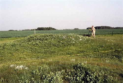 Linear Mounds National Historic Site of CanadaMelita, Manitoba
 Brockinton National Historic Site of CanadaMelita, Manitoba
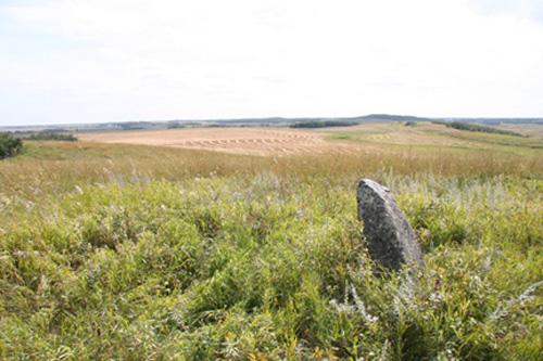 Arrow River Standing Stone SiteHamiota, Manitoba
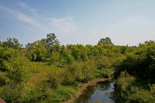 Arden Mound and Camp SiteLansdowne, Manitoba
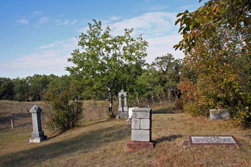 Millford CemeteryGlenboro, Manitoba
From the Canadian Register of Historic Places, as last updated on December 12, 2025. The register’s text is shown word for word.