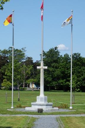
Rothesay Common - Cenotaph on the Rothesay Common
Photo: Rothesay Living Museum
- Recognized
- 2006
- By
- Local government
The register’s text, word for word
Description
Rothesay Common is the area of land bordered by the Gondola Point Road, Old Hampton Road, and Church Avenue. It is currently used as a public park and is overlooked by three churches and many stately homes. The Cenotaph, a memorial to those residents of Rothesay who died in the World War I & II, as well as the Korean War, stands tall in the center.
Heritage value
Rothesay Common is designated a Local Historic Place for the family that owned the land and its historic significance as the centre of the original town.
Rothesay Common is recognized for its association with the family who originally owned the land. The Robertson family, one of the first families to build a house in Rothesay owned the area and used it as a cow pasture. The sisters Grace E. Nichols and Mary Robertson sold the land in 1934 to the town and stipulated it was to be used as a public park.
Rothesay Common is also recognized for its various cultural associations. The Rothesay Common, although not situated in the centre of town today, is recognized as the location where ceremonial functions are performed, important personages honoured, municipal insignia displayed and memorials dedicated. The Cenotaph, a memorial to those residents of Rothesay who died in the World War I & II, as well as the Korean War, stands tall in the center. It is used to host various cultural events, such as concerts, plays, and fairs, which makes Rothesay Common a fitting testament to the Robertson sisters, as they were, in their time, considered by most Rothesay residents to be the cultural and social leaders of the budding town.
SourceRothesay Living Museum, "Rothesay Common"
Character‑defining elements
The character-defining elements that describe Rothesay Common include:
- location of the park in the former Rothesay Town Centre;
- continued use as cultural and ceremonial center of town;
- park like setting surrounded by Town defined heritage area;
- association with one of the Town's prominent historic families;
- the cenotaph and its location at the centre of the park.
End of the register’s text
Location
Rothesay, New Brunswick, E2E, Canada
45.38858° N, 65.99596° W
Get directions (opens in a new tab)Being on the register doesn’t make a place open to visitors. Many are private homes or businesses; please view them from the street.

Loading map…
Similar places
Places whose register descriptions are closest to this one.
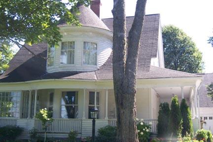 3218 Rothesay RoadRothesay, New Brunswick
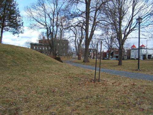 Riverview Memorial ParkSaint John, New Brunswick
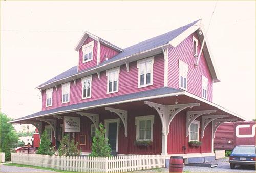 Rothesay Railway Station (European and North American) National Historic Site of CanadaRothesay, New Brunswick
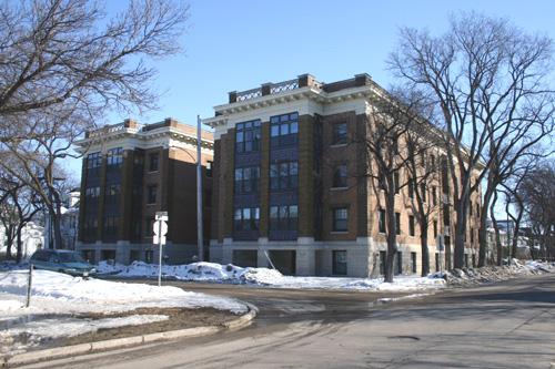 Rothesay ApartmentsWinnipeg, Manitoba
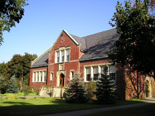 Rothesay Netherwood SchoolRothesay, New Brunswick
 3 Station RoadRothesay, New Brunswick
From the Canadian Register of Historic Places, as last updated on December 12, 2025. The register’s text is shown word for word.