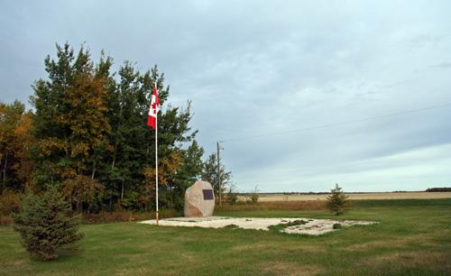
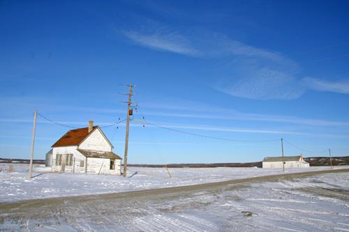
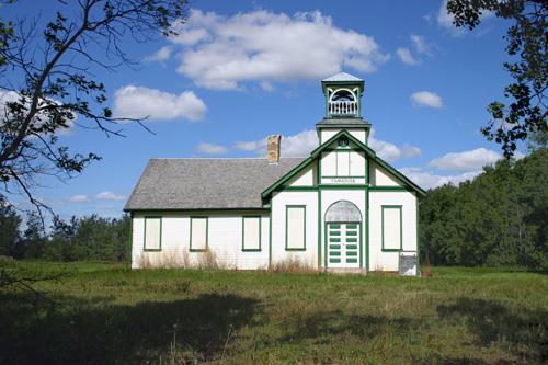
Contextual view, from the southwest, of the Opawaka School Site, Miami area, 2006
Photo: Historic Resources Branch, Manitoba Culture, Heritage and Tourism, 2006
- Recognized
- 1998
- By
- Local government
The register’s text, word for word
Description
The Opawaka School Site includes a flagpole and stone monument on an open lawn area rimmed on two sides by deciduous forest at a gravel crossroads southwest of Miami. The municipal designation applies to the monument and its approximately two-hectare parcel of land.
Heritage value
The Opawaka School Site is a tangible link to the educational and community history of a long-established agricultural district situated between Miami and Darlingford in south-central Manitoba. From 1919 to 1959, Opawaka School saw more than 2,200 students in Grades 1 to 11 and 44 teachers pass through its doors. It also played host to many community events and celebrations. The succession of three school buildings that appeared on or near this site, beginning in 1886 with a log structure accommodating 14 students and culminating with Opawaka School, which held 55, speaks to the area's rapid development. The tranquil pastoral site, which preserves the expanse of the schoolyard and also commemorates Opawaka United Church, provides a simple, contemplative connection to the community's early development.
SourceRural Municipality of Thompson By-law No. 10/98, May 27, 1998
Character‑defining elements
Key elements that define the heritage character of the Opawaka School Site include:
- the rural location southwest of Miami, amid agricultural fields and at the junction of gravel grid roads
- the undeveloped nature of site, encompassing the original schoolyard, with lawn area to the north and east and forested area on south and west sides
Key elements that define the site's commemorative function include:
- the large granite monument and attached bronze plaque with inscriptions relating to Opawaka School and Opawaka United Church
-the situation of the granite boulder on the school site and the nearby pole bearing the Canadian flag
- the public access
End of the register’s text
Location
Thompson, Manitoba, R0G, Canada
49.31096° N, 98.34190° W
Get directions (opens in a new tab)Being on the register doesn’t make a place open to visitors. Many are private homes or businesses; please view them from the street.

Loading map…
Nearby
All 3 places in Thompson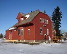 Former Miami Northern Pacific and Manitoba Railway Station6.5 km · 1889
 Miami Railway Station (Canadian Northern) National Historic Site of Canada9.7 km · Miami · 1889
 Darlingford Memorial and Park12 km · Pembina · 1921
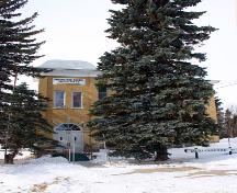 Darlingford Consolidated School12 km · Pembina · 1909
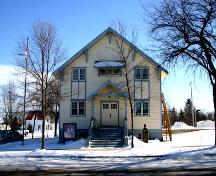 Manitou Town Hall16 km · Manitou · 1930
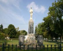 Manitou Cenotaph16 km · Manitou · 1921
Similar places
Places whose register descriptions are closest to this one.
From the Canadian Register of Historic Places, as last updated on December 12, 2025. The register’s text is shown word for word.