National Historic Site of Canada
Nanticoke National Historic Site of Canada
Nanticoke, Ontario
Also known as Nanticoke
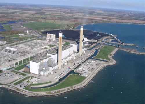
A contemporary aerial image of the Nanticoke site now home to the Nanticoke Generating Station, 2009.
Photo: Ontario Power Generation, 2009.
- Recognized
- 1924
- By
- Government of Canada
The register’s text, word for word
Description
Nanticoke National Historic Site of Canada is located on the banks of Lake Erie in Walpole Township, Ontario. It marks the location of a skirmish that occurred in November 1813 between a volunteer militia of local farmers and a group of American marauders who were pillaging district farms. There are no extant remains of the battle at Nanticoke on the site, which is currently occupied by the Nanticoke Generating Station. Official recognition refers to the former property of John Dunham at the time of designation in 1924.
Heritage value
Nanticoke was designated a national historic site of Canada in 1924 because:
- on 13th November, 1813, Norfolk volunteer militia, led by Lieutenant-Colonel Henry Bostwick, routed a band of American marauders who had terrorized the country, an exploit that inspirited the military forces, restored the confidence of the people, and was an important factor in the immediate recovery of lost ground. [Plaque text 1928/1977]
During the War of 1812, the British withdrew their regular troops from southern Ontario to the Fort at Kingston after suffering several defeats by American forces in the fall of 1813. This retreat and the reduced military enforcement prompted a band of American marauders to pillage district farms. As a result, a number of resident settlers formed a volunteer militia, and on 13 November 1813 they attacked the Americans on the farm of John Dunham, south of the present village of Nanticoke.
Three of the marauders were killed, several wounded, 18 captured, and others escaped. This effectively ended plundering expeditions in the area, and over 3,000 kilograms (7,000 pounds) of provisions were saved for the British militia on the Niagara frontier, enabling them to continue a winter campaign.
SourceHistoric Sites and Monuments Board of Canada, Minutes, 1924; September 2009.
Character‑defining elements
Key elements that contribute to the heritage character of the site include:
- its location on the banks of Lake Erie, in Walpole Township, Ontario;
- its setting on a flat parcel of land, currently occupied by the Nanticoke Generating Station;
- the integrity of any surviving or as yet unidentified archaeological remains which may be found within the site in their original placement and extent;
- viewscapes from the site across Lake Erie.
End of the register’s text
Location
38 Rainham Road, Nanticoke, Ontario, N0A, Canada
42.79726° N, 80.05296° W
Get directions (opens in a new tab)Being on the register doesn’t make a place open to visitors. Many are private homes or businesses; please view them from the street.

Loading map…
Nearby

Similar places
Places whose register descriptions are closest to this one.
 Battle Hill National Historic Site of CanadaSouthwest Middlesex, Ontario
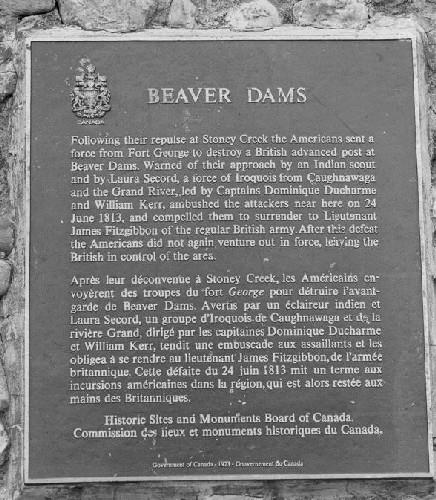 Battle of Beaver Dams National Historic Site of CanadaThorold, Ontario
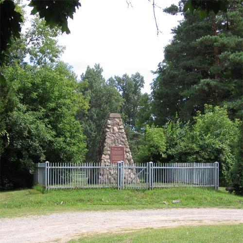 Fort Norfolk National Historic Site of CanadaNorfolk, Ontario
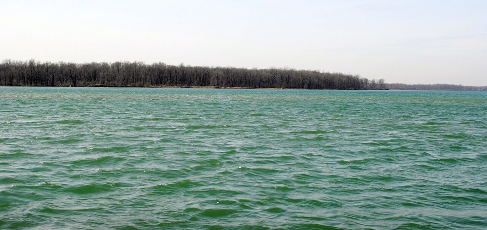 EnhancedNavy Island National Historic Site of CanadaNiagara Falls, Ontario
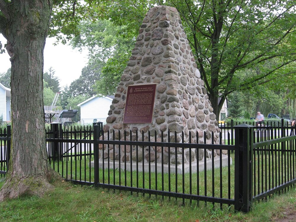 EnhancedBattle of Cook's Mills National Historic Site of CanadaWelland, Ontario
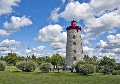 Battle of the Windmill National Historic Site of CanadaPrescott, Ontario
From the Canadian Register of Historic Places, as last updated on December 12, 2025. The register’s text is shown word for word.