National Historic Site of Canada
Battle of Beaver Dams National Historic Site of Canada
Thorold, Ontario
Also known as Battle of Beaver Dams, Bataille de Beaver Dams, Battle of Beechwoods
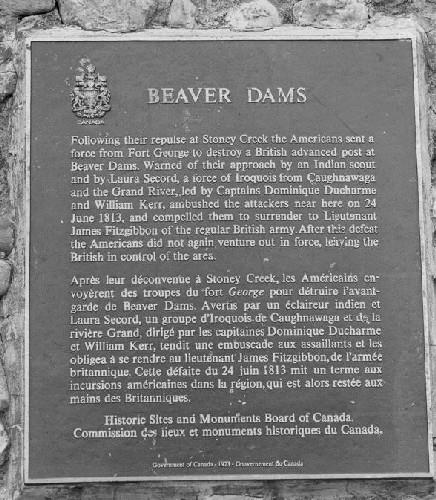
General view of the Battle of Beaver Dams, showing the plaque, 1989.
Photo: Parks Canada Agency / Agence Parcs Canada, 1989.
- Recognized
- 1921
- By
- Government of Canada
The register’s text, word for word
Description
The Battle of Beaver Dams National Historic Site of Canada is a large open industrial landscape including part of the Welland Canal on the east side of the City of Thorold, Ontario. Located south of the Niagara escarpment, it was the site of a decisive British victory during the War of 1812, between Iroquois and American forces. The site encompasses a variety of properties including urban residential property in Thorold, parts of the Welland Canal, a cemetery, and industrial land. Official recognition refers to the site on its legal lots.
Heritage value
The Battle of Beaver Dams was designated a National Historic Site of Canada in 1921 because:
- warned by Laura Secord and an Iroquois scout, a force of Iroquois from Caughnawaga and the Grand River defeated an attacking American force near Beaver Dams on 24 June 1813;
- the American defeat left the British in control of the Niagara area for the remainder of 1813.
The Battle of Beaver Dams, which occurred on June 24 1813, was a crucial battle during the War of 1812. Following their defeat at Stoney Creek, the Americans sent a force under Lieutenant-Colonel Charles G. Boerstler from Fort George to destroy a British advanced post at Beaver Dams. A force of about 600 infantry and cavalry left Fort George for American-controlled Queenston so as not to reveal the true destination of their mission. At Queenston, Laura Secord, the wife of a wounded Loyalist, overheard the American plans and journeyed, with an Iroquois scout, to warn the British of the pending attack. Forewarned, a combined force of Iroquois from Caughnawaga and the Grand River, led by Captains Dominique Ducharme and William Kerr, ambushed the American force and compelled them to surrender to British Lieutenant James Fitzgibbon of the regular British Army. After their defeat, the Americans left the British in control of the Niagara area for the remainder of 1813.
SourceHistoric Sites and Monuments Board of Canada, Minutes, 1966; 1970; 1975; 2007.
Character‑defining elements
The key elements that contribute to the heritage character of this site include:
- its location at the east end of Thorold, Ontario;
- the open industrial and rural character of the landscape that includes parts of the Welland Canal;
- the integrity of any surviving or as yet unidentified archaeological remains which may be found within the site in their original placement and extent;
- viewscapes from the battlefield across the Welland Canal.
End of the register’s text
Location
Davis Road, Thorold, Ontario, L2V, Canada
43.12279° N, 79.20177° W
Get directions (opens in a new tab)Being on the register doesn’t make a place open to visitors. Many are private homes or businesses; please view them from the street.

Loading map…
Nearby
All 11 places in Thorold





Similar places
Places whose register descriptions are closest to this one.
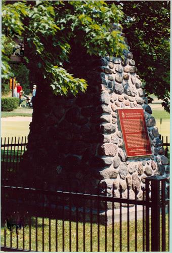 Battlefield of Fort George National Historic Site of CanadaNiagara-on-the-Lake, Ontario
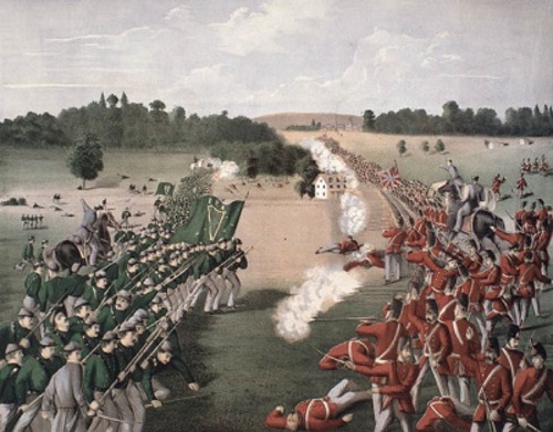 Ridgeway Battlefield National Historic Site of CanadaRidgeway, Ontario
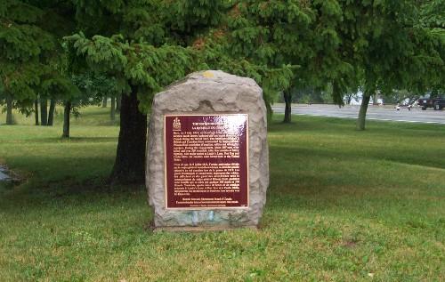 Battle of Chippawa National Historic Site of CanadaNiagara Falls, Ontario
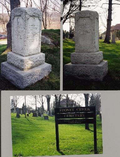 Battle of Stoney Creek National Historic Site of CanadaHamilton, Ontario
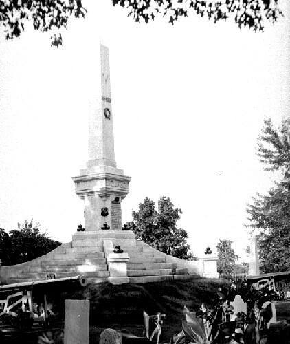 Battle of Lundy's Lane National Historic Site of CanadaNiagara Falls, Ontario
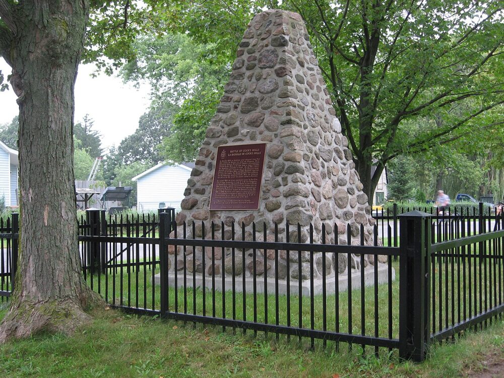 EnhancedBattle of Cook's Mills National Historic Site of CanadaWelland, Ontario
From the Canadian Register of Historic Places, as last updated on December 12, 2025. The register’s text is shown word for word.