Boundary Commission Trail - Turtlehead Creek Crossing
Also known as: Boundary Commission Trail - Turtlehead Creek Crossing, Newcomb's Hollow, Dépression Newcomb
Description
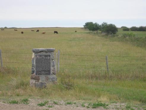
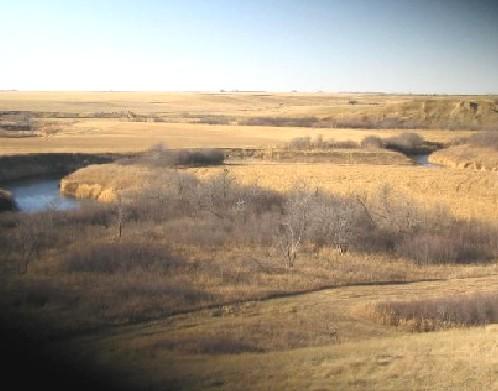
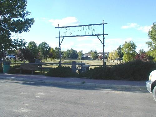
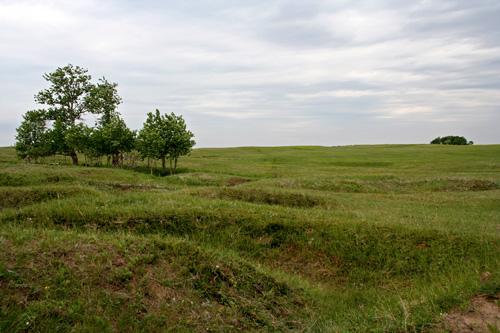
The Boundary Commission Trail - Turtlehead Creek Crossing is an expanse of gently undulating natural prairie that encompasses part of an historic east-west land route as it crosses Turtlehead Creek, about five kilometres southeast of Deloraine. The provincial designation applies to the 32-hectare parcel of land, including remnants of the Boundary Commission Trail and an associated heritage park.
Heritage Value
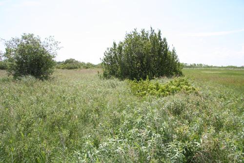
The Boundary Commission Trail -Turtlehead Creek Crossing, marked by wagon ruts of approximately one kilometre in extent, is the longest intact section known to exist in Manitoba of the route taken by surveyors mapping the Canada-United States boundary between 1872 and 1874. The rough track, which generally followed a course travelled by First Nations peoples, fur traders and European explorers, subsequently played an important role in opening the Canadian West to pre-railway settlement, including the first extension of national law enforcement into the frontier by the North West Mounted Police in 1874. It was here that members of that force camped for a time as they made their arduous trek into the western frontier. The site additionally has a connection to a Dominion Land Titles Office that once stood nearby (recreated at the site in the form of a small log structure), and where, beginning in 1880, hundreds of settlers registered homesteads in Manitoba and the North-West Territories under the supervision of Land Titles Agent George Newcomb; many newcomers were required to camp in the area awaiting their turn to register a claim. This site, known too as Newcomb's Hollow, is also a rare Manitoba example of undisturbed and uncultivated vegetation, including mixed-grass prairie and stands of small oak trees, that would have defined this area before settlement in the late 19th century.
Source: Manitoba Heritage Council Minutes, 3 December, 1994
Character-Defining Elements
Key elements that define the heritage character of the Boundary Commission Trail - Turtlehead Creek Crossing site include:
- the location south of Whitewater Lake and approximately five kilometres southeast of Deloraine
- the Boundary Commission Trail crossing of Turtlehead Creek, including approximately one kilometre of trail remnants (wheel ruts) on both sides of the waterway
- the predominance of undisturbed and uncultivated vegetation, including mixed-grass prairie and stands of small oak trees
Key elements that define the site's interpretive function, concentrated within a fenced park and picnic area, include:
- a tableau of plaques and visual material and a mural painted by Sioux artist Roland Ironman depicting the heritage of the area
- the small gable-roofed log building containing displays of historical documents and photographs
Gallery
2 imagesLocation
Loading map...
Similar Places
Heritage sites with similar characteristics