Municipal Heritage Property
Battleford Trail Wheel Rut Area
Swift Current, Saskatchewan
Also known as Swift Current to Battleford Trail
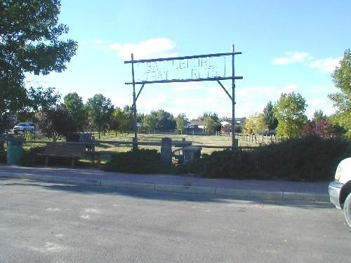
View of the property, including gate sign, cairn and plaque, 2004.
Photo: Dan Knutson, 2004.
- Recognized
- 1982
- By
- Local government
The register’s text, word for word
Description
The Battleford Trail Wheel Rut Area is a Municipal Heritage Property consisting of one city lot in the City of Swift Current. The designation applies to a fenced enclosure containing cart and wagon ruts that are remnants of the historic Swift Current-Battleford Trail.
Heritage value
The heritage value of the Battleford Trail Wheel Rut Area lies in its status as a relic of an important late-nineteenth century transportation link between settlements at Swift Current and Battleford. The general route of the trail was likely used by First Nations in precontact times and, later, for local traffic between Swift Current and nearby settlements. The main trail was established and achieved its greatest prominence after the Canadian Pacific Railway arrived in Swift Current in 1883, when it became the Battleford District’s principal connection with the wider world. During the Resistance of 1885, the trail was strategically important as the route taken by Colonel William D. Otter and his troops as they marched from the rail depot at Swift Current to Battleford.
For a number of years, the trail carried a heavy traffic that included people, freight and the mail. After 1890, when the building of a rail line through Saskatoon made that city a closer connecting point for Battleford, the trail’s importance as main transportation artery declined. However, the trail was still being used for local travel as late as 1925.
Source:
City of Swift Current Bylaw No. 31-1982.
Character‑defining elements
The heritage value of the Battleford Trail Wheel Rut Area resides in the following character-defining elements:
-the remnant wheel ruts in a small tract of native prairie grass.
End of the register’s text
Location
Swift Current, Saskatchewan, S9H, Canada
50.29567° N, 107.80662° W
Get directions (opens in a new tab)Being on the register doesn’t make a place open to visitors. Many are private homes or businesses; please view them from the street.

Loading map…
Similar places
Places whose register descriptions are closest to this one.
 Bone TrailCorman Park RM 344, Saskatchewan
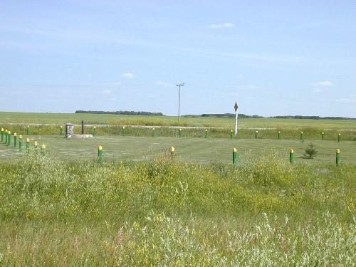 Fort Qu'Appelle - Touchwood Hills Trail Provincial Historic SiteLipton RM 217, Saskatchewan
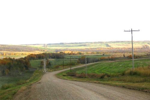 Fort Pitt Provincial ParkFrenchman Butte RM 501, Saskatchewan
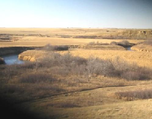 Crippled Creek Crossing SiteGravelbourg RM 104, Saskatchewan
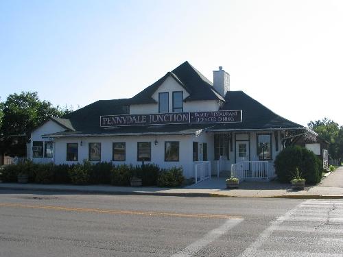 The Station BuildingBattleford, Saskatchewan
 District Court HouseBattleford, Saskatchewan
From the Canadian Register of Historic Places, as last updated on December 12, 2025. The register’s text is shown word for word.