Municipal Heritage Property
Crippled Creek Crossing Site
Gravelbourg RM 104, Saskatchewan
Also known as Crippled Creek Crossing North-West Mounted Police Camp, Archaeological Site DlNo-1
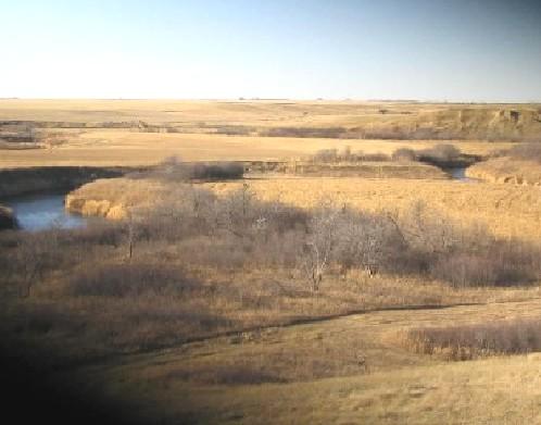
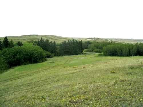
View northwest at reported location of site on near (east) side of Wood River, 2004.
Photo: Government of Saskatchewan, Marvin Thomas, 2004.
- Recognized
- 1981
- By
- Local government
The register’s text, word for word
Description
The Crippled Creek Crossing Site is a Municipal Heritage Property encompassing 128 hectares of land along the Wood River in south-central Saskatchewan near the Town of Gravelbourg. Featuring a mix of cultivated and pasture land, the property is known in the local community as the location of a nineteenth-century North-West Mounted Police campsite.
Heritage value
The heritage value of the Crippled Creek Crossing Site lies in its association with the North-West Mounted Police and their famous "March West." In July, 1874, a year after the founding of the Force, a contingent of "Mounties" set out on a long trek from Dufferin, Manitoba with orders to curtail the whiskey trade, establish amicable relations with First Nations, and perform general policing duties in the North-West. Among the 275 officers and men were some who would achieve prominence for their exploits in the West, including Commissioner George Arthur French, James Macleod, James Walsh and Samuel Steele.
Unfamiliar with the rigours of prairie travel, low on rations, and often without adequate water or pasture, the column reached Old Wives Lake in southern Saskatchewan by mid-August in poor condition. As the main contingent pressed on farther west, a decision was made to leave seven troopers, five of whom were sick, a Métis employee, and 26 weak horses at a camp on the Wood River not far south of the lake. This encampment, dubbed "cripple camp," was their home until Commissioner French and some of the troops returned in early October on their way east to the North-West Mounted Police's newly established Swan River headquarters.
Source:
Rural Municipality of Gravelbourg No. 104 Bylaw No. 6/81.
Character‑defining elements
The heritage value of the Crippled Creek Crossing Site resides in the following character-defining elements:
-the site in its defined boundaries, consisting of fields and pastures intersected by the Wood River flowing in its natural course;
-archaeological objects or features related to the North-West Mounted Police occupation.
End of the register’s text
Location
Gravelbourg RM 104, Saskatchewan, S0H, Canada
49.93233° N, 106.47632° W
Get directions (opens in a new tab)Being on the register doesn’t make a place open to visitors. Many are private homes or businesses; please view them from the street.

Loading map…
Similar places
Places whose register descriptions are closest to this one.
 Wamsley Bridge SiteGravelbourg RM 104, Saskatchewan
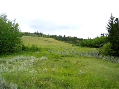 Chimney Coulee SiteArlington RM 79, Saskatchewan
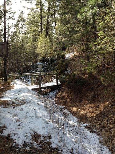 Wildhorse Creek Historic SiteEast Kootenay, British Columbia
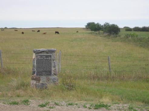 Bone TrailCorman Park RM 344, Saskatchewan
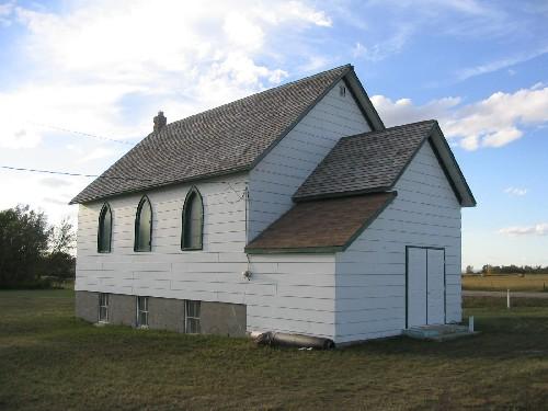 Moose Creek United Church and CemeteryMoose Creek RM 33, Saskatchewan
 Chimney Coulee Provincial Historic SiteArlington RM 79, Saskatchewan
From the Canadian Register of Historic Places, as last updated on December 12, 2025. The register’s text is shown word for word.