National Historic Site of Canada
Rogers Pass National Historic Site of Canada
Glacier National Park of Canada, British Columbia
Also known as Rogers Pass, Col Rogers
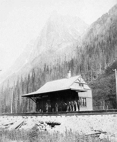
Historic photograph of the Rogers Pass National Historic Site of Canada, showing the isolated wilderness setting, flanked by steep mountains, circa 1980.
Photo: Library and Archives Canada - Bibliothèque et Archives Canada / PA-117430, ca./v. 1890.
- Built
- 1881–1917
- Recognized
- 1971
- By
- Government of Canada
The register’s text, word for word
Description
Rogers Pass National Historic Site of Canada is a historic travel corridor through the Selkirk Mountains between an upper reach of the Columbia River as it flows north to cross the Selkirks at the Big Bend and a lower reach where the river flows south. Located today within the boundaries of Glacier National Park of Canada, the official recognition refers to the cultural landscape and resources associated with the former roadbed of the Canadian Pacific Railway main line along what is now the route of the Trans-Canada Highway.
Heritage value
Rogers Pass was designated a national historic site of Canada in 1971 because of:
- the role of the pass in the construction and development of the main line of the Canadian Pacific Railway into a major national transportation route, 1881-1917.
The heritage value of Rogers Pass lies in its historic associations (1886-1917) as illustrated by the associated landscape and resources along the route of the Trans-Canada Highway through the Selkirk Mountains.
Following the decision of the Canadian Pacific Railway in 1881 to adopt the southerly route through the Rockies at Kicking Horse Pass, it became necessary to find a way through the difficult and largely unexplored Selkirks. Major A.B. Rogers, an experienced American railway locating engineer, traversed this pass the next year and so overcame the last great obstacle facing the railway. The steep grade and susceptibility to avalanches made the pass a treacherous part of the line, so the Connaught Tunnel was built in 1916 to bypass it. With the inauguration of the Trans-Canada Highway in 1962, however, it again formed part of a national route.
SourceHistoric Sites and Monuments Board of Canada, Minutes, May 1971; Commemorative Integrity Statement, April 1998.
Character‑defining elements
Key elements that contribute to the heritage character of the site include:
- the isolated wilderness setting, flanked by steep mountains;
- the location of the pass as defined by the present route of the Trans-Canada Highway;
- the extreme climatic conditions of the area;
- the significant rise in elevation through the pass area;
- surviving evidence of the former rail line, including the graded road bed, vestiges of original bridges, the masonry piers at Loop Brook, the stone arch bridges at Cascade Creek, and the Illicillewaet Illecillewaet River;
- vestiges of rail facilities designed to protect the rail line from heavy weather conditions, such as timber snow sheds in avalanche zones, various culverts, and retaining walls;
- surviving evidence of buildings and structures associated with the operation of a rail line through the pass, including remains of the first Glacier Station and dining room, such as the platforms, station yard and work camp facilities, sheds, and sidings;
- remains of pathways and roadways associated with railway operation of the site.
End of the register’s text
Location
Highway 1, Trans-Canada Highway, Glacier National Park of Canada, British Columbia, Canada
51.30146° N, 117.52133° W
Get directions (opens in a new tab)Being on the register doesn’t make a place open to visitors. Many are private homes or businesses; please view them from the street.

Loading map…
Nearby
Similar places
Places whose register descriptions are closest to this one.
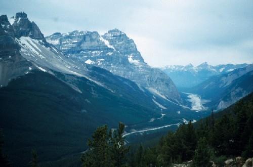 Kicking Horse Pass National Historic Site of CanadaYoho National Park of Canada, British Columbia
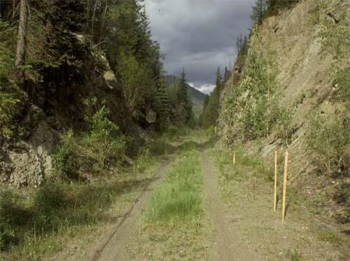 Yellowhead Pass National Historic Site of CanadaJasper National Park of Canada, Alberta
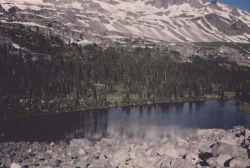 Athabasca Pass National Historic Site of CanadaJasper National Park of Canada, Alberta
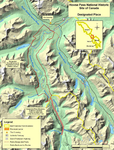 Howse Pass National Historic Site of CanadaBanff National Park of Canada, Alberta
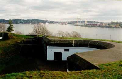 Fort Rodd Hill National Historic Site of CanadaColwood, British Columbia
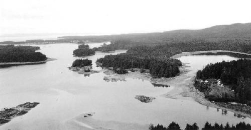 Metlakatla Pass National Historic Site of CanadaSkeena-Queen Charlotte, British Columbia
From the Canadian Register of Historic Places, as last updated on December 12, 2025. The register’s text is shown word for word.