Local Register
Higho de Cocagne Institutional Centre
Saint-Antoine, New Brunswick
Also known as Site of the first churches and the first school of the village, Emplacement des premières églises et la première école du village
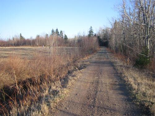
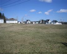
Today, the New Brunswick Trail is located where Saint-Antoine's first institutions once stood
Photo: Daniel Léger
- Built
- 1856–1859
- Recognized
- 2006
- By
- Local government
The register’s text, word for word
Description
Higho de Cocagne Institutional Centre consists of two pieces of land covered in brush and grass, measuring 40 m x 250 m, located in the northeast end of a 7.95-hectare property identified as PID 25044496 alongside the New Brunswick Trail and all of the land located on de l’Église Avenue in Saint-Antoine.
Heritage value
Higho de Cocagne Institutional Centre is designated a Local Historic Place for its association with the first institutions in Higho de Cocagne, namely, the first two churches, the first school, and Robichaud Road, which was the village’s main artery.
In the spring of 1832, the three Desroches sisters, Marguerite, Barbe, and Geneviève, took possession of the first three properties in Saint-Antoine. Because of the elevation of the land and its proximity to Cocagne, the new site was dubbed Higho de Cocagne. It was on these newly cleared tracts of land that the first institutions in the village of Saint-Antoine were built, representing the religious and educational elements that greatly helped to shape a culture unique to the community. The first chapel was built circa 1838 by the parish’s first settlers using locally cut wood. The small pine chapel measuring 28 ft. x 40 ft. was located on the same site as the second church, built in 1856-1859, on Robichaud Road, which is now the New Brunswick Trail. That second church served as a place of worship until 1923 when a new stone church was erected on the site where it now stands. It was built by Sacite LeBlanc. The interior was completed in the late 1870's by Narcisse LeBlanc. The altar from this church is currently conserved by the Fédération des scouts de l'Atlantique in Saint-Antoine. The first school was built in 1876 near the church at the end of Robichaud Road. In 1918, it was moved closer to the new village centre. Robichaud Road, as it was then called, served as the main artery until the railroad arrived and the village centre was moved alongside it.
Along with the existing vestiges of the buildings that once occupied this site, there is a strong potential for archaeological resources yet to be discovered relating to the religious and educational history of the area.
SourceVillage of Saint-Antoine - File A3 - "Le Centre institutionnel du Higho de Cocagne"
Character‑defining elements
The character-defining elements that describe the first church include:
- vestiges of a well used to water the horses that took the parishioners to church;
- depression in the ground near the site of the first church;
- yet to be discovered archeological resources relating to the first church.
The character-defining elements that describe the second church include:
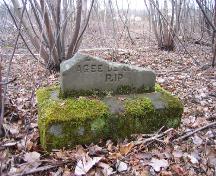
- vestiges of a cornerstone with the inscription “1859 cherche,” signifying the year construction of the second church was completed, with the word “cherche” meaning “church” but pronounced the French way;
- depression in the ground and a few vestiges of stones from the foundation of the second church located to the east of the property;
- altar of the second church, conserved today by the Fédération des scouts de l'Atlantique in Saint-Antoine;
- yet to be discovered archeological resources relating to the second church.
The character-defining element that describes the village’s first school includes:
- depression in the ground where the village's first school stood;
- yet to be discovered archeological resources relating to the first church.
The character-defining element that describes Robichaud Road includes:
- New Brunswick Trail, recalling the location of Robichaud Road, which used to be an essential artery.
End of the register’s text
Location
98 de l'Église Avenue, Saint-Antoine, New Brunswick, E4V, Canada
46.36332° N, 64.76372° W
Get directions (opens in a new tab)Being on the register doesn’t make a place open to visitors. Many are private homes or businesses; please view them from the street.

Loading map…
Similar places
Places whose register descriptions are closest to this one.
 Saint-François-de-Madawaska Religious and Institutional SiteSaint-François-de-Madawaska, New Brunswick
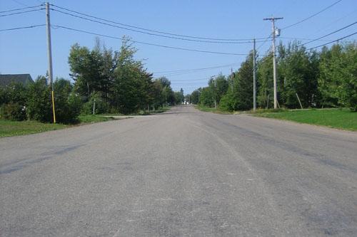 Former Bouctouche Railway RouteSaint-Antoine, New Brunswick
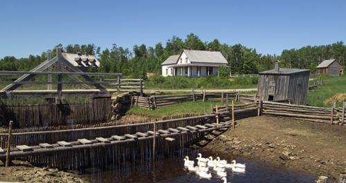 Village Historique AcadienNew Bandon, New Brunswick
 Hotel Dieu HospitalBathurst, New Brunswick
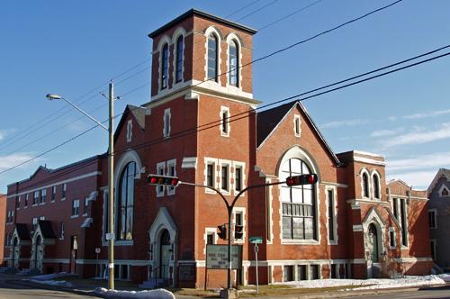 Highfield Street United Baptist ChurchMoncton, New Brunswick
 Old Moncton HospitalMoncton, New Brunswick
From the Canadian Register of Historic Places, as last updated on December 12, 2025. The register’s text is shown word for word.