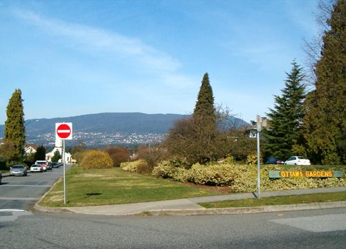
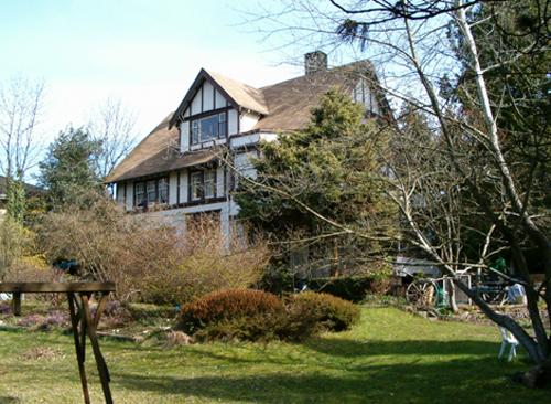
Photo: City of North Vancouver, 2004
- Construction
- 1906
- Reconnaissance
- 1995
- Par
- Administrations locales (C.-B.)
Le texte du répertoire, mot pour mot
Description
Ottawa Gardens is a planned subdivision that includes a planted 21 metre wide boulevard and the adjacent residential properties in the 200 block of West 6th Street between Mahon and Chesterfield Avenues in a predominantly single-family neighbourhood of North Vancouver.
Valeur patrimoniale
Ottawa Gardens is valued as a planned garden subdivision, designed to attract affluent families to the North Shore of Burrard Inlet. Planning and development was initiated in 1906 by the North Vancouver Land and Improvement Company. Prestige was guaranteed through minimum construction cost standards and restrictions on buildings and landscaping. Ottawa Gardens was divided into 32 lots and today 30 houses representing a wide variety of architectural styles occupy these lots. The area's varied architecture reflects that the houses were developed in four stages: six buildings built from 1908-14; nine buildings built in the period from 1920 until the Second World War; eight from 1945-70 and seven since. Many of the residences are set in mature landscapes characteristic of their eras.
Ottawa Gardens is valued as part of a rectilinear system of boulevards and parks known as North Vancouver's "Green Necklace," which also includes Grand Boulevard, Victoria Park and Mahon Park.
SourceHeritage Planning Files, City of North Vancouver
Éléments caractéristiques
Key elements that define the heritage character of the Ottawa Garden development include its:
- linear and open nature
- shift in street grid at the west end, with a church completing the vista to the west
- central wide landscaped median
- grade change between the houses on the north and south sides of the boulevard
- well-maintained but informal plantings
- laurel hedges accompanied by wooden fences or random coursed stone walls that enclose the properties fronting the boulevard, that define the linear nature of the streetscape
- hedges, fences, mature trees and garden setting on most of the flanking properties
- form, scale and massing of the surrounding houses
- larger massing and scale of the north side of buildings in relation to those on the south side
Fin du texte du répertoire
Emplacement
49.31800° N, 123.07910° W
Itinéraire (s’ouvre dans un nouvel onglet)L’inscription au répertoire ne rend pas un lieu accessible au public. Beaucoup sont des résidences ou des commerces privés; admirez-les depuis la rue.

Chargement de la carte…
À proximité
Les 88 lieux de North Vancouver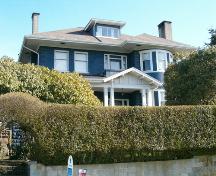 Stephens Residenceà moins de 100 m · 1911
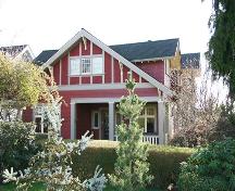 MacLeod Residenceà moins de 100 m · North Vancouver City · 1922
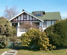 Larson Residenceà moins de 100 m · 1921
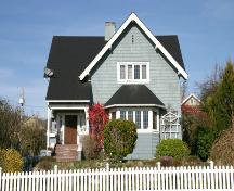 Howard-Gibbon Residenceà moins de 100 m · North Vancouver City · 1924
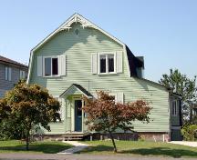 Hutchison Residenceà moins de 100 m · 1909
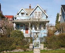 Drysdale Residenceà moins de 100 m · North Vancouver City · 1909
Lieux semblables
Les lieux dont la description du répertoire se rapproche le plus de celle-ci.
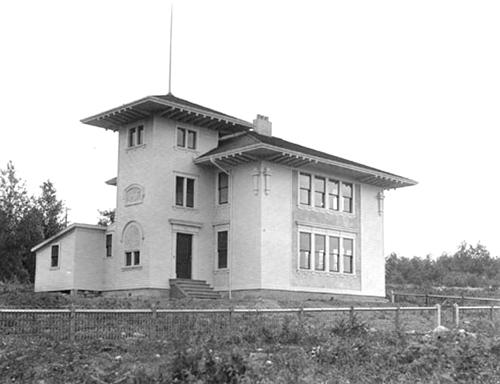 214 West 6th StreetNorth Vancouver, Colombie Britannique
 Grand BoulevardNorth Vancouver, Colombie Britannique
 268 West 6th StreetNorth Vancouver City, Colombie Britannique
 Gill ResidenceNorth Vancouver, Colombie Britannique
 Deptford ResidenceNorth Vancouver, Colombie Britannique
 Keith ResidenceNorth Vancouver, Colombie Britannique
Tiré du Répertoire canadien des lieux patrimoniaux, dans sa dernière mise à jour du 12 décembre 2025. Le texte du répertoire est reproduit mot pour mot.