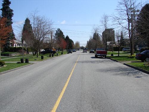
Photo: City of New Westminster, 2009
- Construction
- 1859
- Reconnaissance
- 2009
- Par
- Administrations locales (C.-B.)
Le texte du répertoire, mot pour mot
Description
Fifth Street is a wide residential street that, for the purposes of this statement, is a seven block section located between Third Avenue and Tenth Avenue, running through the Queen’s Park and Glenbrooke North neighbourhoods.
Valeur patrimoniale
Fifth Street is valued for its historic and aesthetic significance.
Most important is the street's historic connection to the beginnings of New Westminster. Formerly called St. George's Street after the patron saint of Great Britain, it first appeared on city maps in 1859. The street ended in what was then proposed to be the location of the parliament buildings. The street is therefore historically connected to the city's history as the capital of British Columbia from 1859 to 1868. It is also valued for its connection to Colonel Richard Clement Moody of the Royal Engineers, who established the design of the new city.
The street has aesthetic value as a major public linear space that is wider than its neighbouring streets and that is planted with mature trees. It knits together the Glenbrooke North and Queen’s Park neighbourhoods of New Westminster. Being bounded at both ends helps define these seven blocks as a unit. The streetscape is important for its consistent broad space between house fronts on either side.
These blocks of Fifth Street help distinguish the two neighbourhoods by featuring a transition from planted median to none at Sixth Avenue. They are also important for the unbroken line of residences almost the entire length of the seven blocks, which aesthetically helps resist the visual imposition of the higher commercial development immediately west on Sixth Street.
SourceCity of New Westminster Planning Department
Éléments caractéristiques
Key elements that define the heritage character of Fifth Street include its:
Siting, Context and Landscape
- boulevard planting south of Sixth Avenue, including median planting
- broad boulevards without median north of Sixth Avenue
Architectural Elements
- consistent setbacks from centre line of the Street from one end the other
- residential scale of flanking buildings
Fin du texte du répertoire
Emplacement
49.21450° N, 122.91988° W
Itinéraire (s’ouvre dans un nouvel onglet)L’inscription au répertoire ne rend pas un lieu accessible au public. Beaucoup sont des résidences ou des commerces privés; admirez-les depuis la rue.

Chargement de la carte…
À proximité
Les 153 lieux de New Westminster
Lieux semblables
Les lieux dont la description du répertoire se rapproche le plus de celle-ci.
 Fifth StreetCourtenay, Colombie Britannique
 Fourth Street Brick RoadNew Westminster, Colombie Britannique
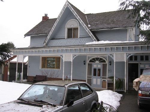 731 Fourth StreetNew Westminster, Colombie Britannique
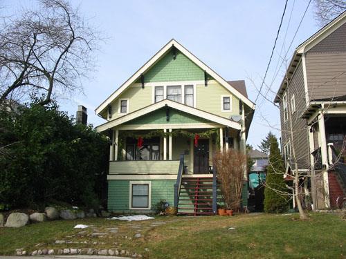 515 St. George StreetNew Westminster, Colombie Britannique
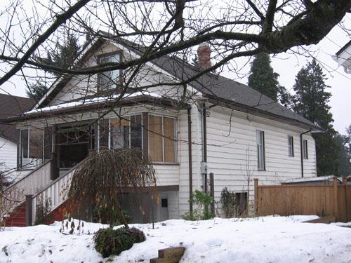 311 Seventh AvenueNew Westminster, Colombie Britannique
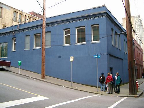 Ellis Block, Front StreetNew Westminster, Colombie Britannique
Tiré du Répertoire canadien des lieux patrimoniaux, dans sa dernière mise à jour du 12 décembre 2025. Le texte du répertoire est reproduit mot pour mot.