Municipal Heritage Site
Concrete Box Bridge
Franklin, Manitoba
Also known as Provincial Highways Bridge Site #8092, Spence Bridge, Le site no. 8092 du pont des routes provinciales
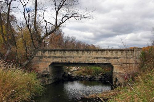
Primary elevation, from the south, of the Concrete Box Bridge, Woodmore area, 2006
Photo: Historic Resources Branch, Manitoba Culture, Heritage and Tourism, 2006
- Built
- 1917
- Recognized
- 2000
- By
- Local government
The register’s text, word for word
Description
The Woodmore-area Concrete Box Bridge, also known as Provincial Highways Bridge Site No. 8092, is a simple concrete vehicular bridge built in 1917 across a narrow drain in the north branch of the Jordan River, which meanders through farmland east of Green Ridge. The municipal designation applies to the bridge structure.
Heritage value
The Concrete Box Bridge, built to allow the Woodmore-area farming community easy passage over part of the Jordan River, is a fine local landmark significant in the development of an efficient rural road system in southeastern Manitoba. Engineered by local contractor Fred Esterby and built in place using available labour and equipment, the narrow single-span concrete structure is a modest illustration of a fixed box-girder bridge. It was the first of two bridges of its type (both municipally designated, the other near Green Ridge) to cross the picturesque river and has since continued to be a practical solution to the community's transportation needs.
SourceRural Municipality of Franklin By-law No. 06-99, February 8, 2000
Character‑defining elements
Key elements that define the picturesque site and landmark character of the Concrete Box Bridge include:
- its placement on Road 11 North, spanning the north branch of the Jordan River in the Rural Municipality of Franklin
- situation of the bridge within a surrounding landscape of dense bush
Key elements that define the structure as a modest concrete box-girder road bridge include:
- the low, narrow form comprised of a single 20-metre span approximately three metres in width (slightly more than one lane), with a short, straight-arched clearance over the waterway and low guardrails above grade
- the primary structure's main components and materials, including the underlying rectangular-shaped concrete box girders, the concrete deck and the buff-coloured brick guardrails with concrete posts and coping
- the substructure, including abutments constructed of concrete reinforced with rebar
- other details and features, including the guardrails' modillions and blind eyelets, the date '1917' carved into the northeast post, etc.
End of the register’s text
Location
Franklin, Manitoba, R0A, Canada
49.16356° N, 96.92222° W
Get directions (opens in a new tab)Being on the register doesn’t make a place open to visitors. Many are private homes or businesses; please view them from the street.

Loading map…
Nearby
All 9 places in Franklin
Similar places
Places whose register descriptions are closest to this one.
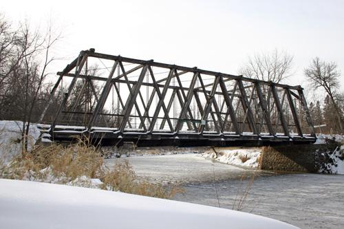 Gardenton Truss BridgeStuartburn, Manitoba
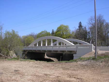 Brant Bowstring BridgeCounty of Brant, Ontario
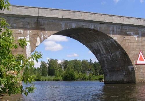 Canal Lake Concrete Arch Bridge National Historic Site of CanadaKawartha Lakes, Ontario
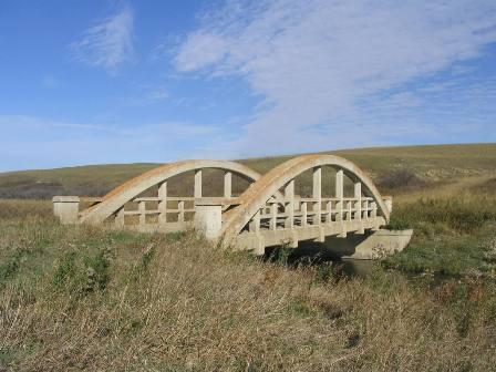 Eagle Creek Cement BridgeHarris RM 316, Saskatchewan
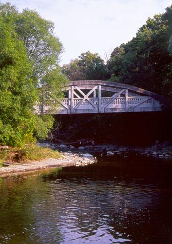 Middle Road BridgeMississauga, Ontario
 EnhancedHartland Covered Bridge National Historic Site of CanadaHartland, New Brunswick
From the Canadian Register of Historic Places, as last updated on December 12, 2025. The register’s text is shown word for word.