National Historic Site of Canada
Hartland Covered Bridge National Historic Site of Canada
Hartland, New Brunswick
Also known as Hartland Covered Bridge, Pont couvert de Hartland
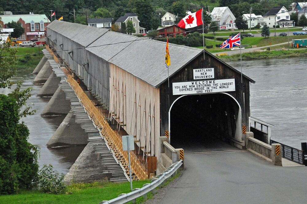
Not from the Register. Photo: Dennis G. Jarvis, Wikimedia Commons · CC BY-SA 2.0
- Built
- 1901
- Recognized
- 1977
- By
- Government of Canada
The register’s text, word for word
Description
A striking feature in the New Brunswick landscape is the Hartland Covered Bridge, considered to be the longest covered bridge extant in the world. Its massive concrete piers support a long, enclosed wooden bridge, held up by Howe trusses. The bridge offers protected crossing of the Saint John River at the Village of Hartland. The designation refers to the bridge structure and cladding on its piers.
Heritage value
Hartland Covered Bridge was designated a national historic site of Canada because this structure is considered to be the longest covered bridge extant in the world.
The heritage value of this site resides in its design and physical fabric. The structure, 390.75 metres long, is believed to be by far the longest covered bridge extant in the world. Covered bridges date from the first decade of the 19th century when North American buildings began using wooden trusses for long spans and covered them to prevent the truss joins from rotting. After 1840 the Howe truss, which introduced iron tension rods into the truss work, was widely adopted and New Brunswick erected numerous bridges using this technique, among them this one, built in 1901 with a walkway added in 1945
SourceHistoric Sites and Monuments Board of Canada, Minutes, November 1977, November 1979 and October 2023.
Character‑defining elements
Aspects of this site which contribute to its heritage values include the features of a long covered bridge, namely its:
- construction design utilizing the Howe truss, in combination with wood framing, vertical weatherboarding and gabled roof,
- concrete piers and abutments,
- appended pedestrian walkway,
- wood shingle arched openings at either end and openings along its length,
- electrical lighting, and,
- relationship with the river, roads and shoreline.
End of the register’s text
Location
Route 105, south east side of bridge, Hartland, New Brunswick, Canada
46.29729° N, 67.52794° W
Get directions (opens in a new tab)Being on the register doesn’t make a place open to visitors. Many are private homes or businesses; please view them from the street.

Loading map…

Similar places
Places whose register descriptions are closest to this one.
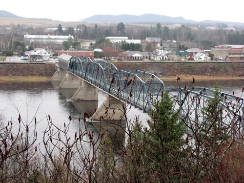 Florenceville BridgeFlorenceville-Bristol, New Brunswick
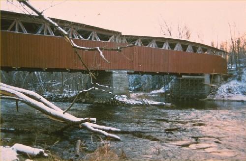 Powerscourt Covered Bridge National Historic Site of CanadaHinchinbrooke, Quebec
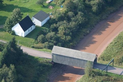 Gayton Covered BridgeMemramcook, New Brunswick
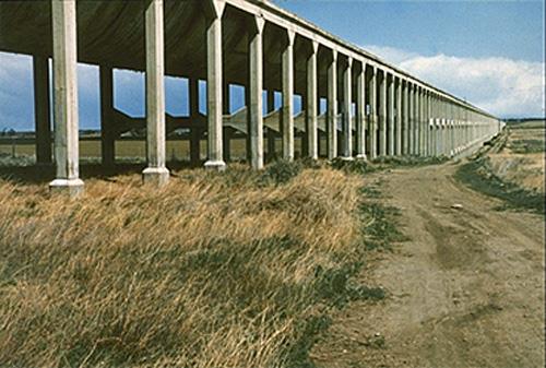 Brooks Aqueduct National Historic Site of CanadaBrooks, Alberta
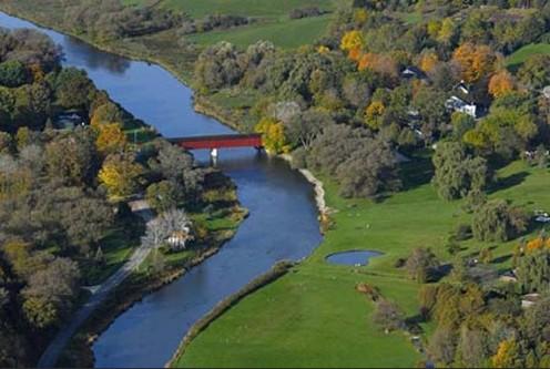 West Montrose Covered BridgeTownship of Woolwich, Ontario
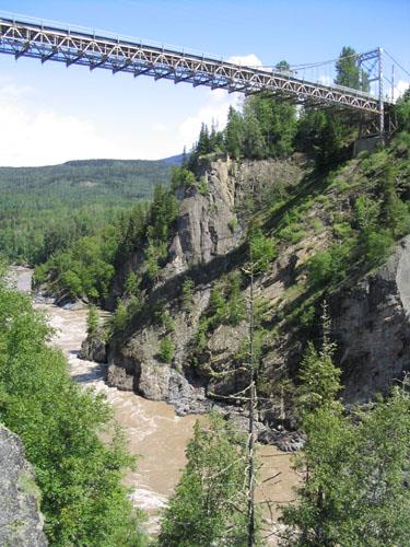 Hagwilget Bridgenear Hazelton, British Columbia
From the Canadian Register of Historic Places, as last updated on December 12, 2025. The register’s text is shown word for word.