National Historic Site of Canada
Battle of the Restigouche National Historic Site of Canada
Pointe-à-la-Croix, Quebec
Also known as Battle of the Restigouche, Bataille de la Ristigouche
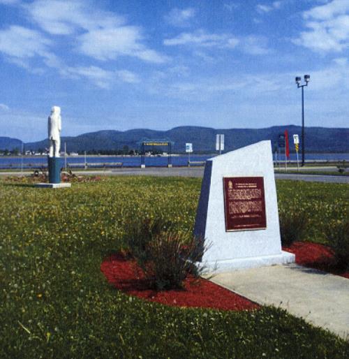
Location of plaque, Campbellton, NB
Photo: Parks Canada / Parcs Canada, 2007
- Built
- 1760
- Recognized
- 1924
- By
- Government of Canada
The register’s text, word for word
Description
Battle of Restigouche National Historic Site of Canada is located at the bottom of the Chaleur Bay, in the estuary of Restigouche River between New Brunswick and Quebec. The site consists of in situ remains of two French ships sunk by the British in the Battle of Restigouche, June 22 to July 8, 1760. The 350-ton Bienfaisant, a supply ship remains mostly undisturbed, while part of the 550-ton Machault, an armed frigate, is still underwater. A ballast dump, featuring a concentration of metal materials from French ships, is also encompassed in the designation. Official recognition refers to the in situ cultural resources of three 200-metre radius zones, which respectively comprise the sites of the ballast dump, the Bienfaisant remains and the Machault remains (excluding its terrestrial portion).
Heritage value
Battle of Restigouche was designated a national historic site of Canada in 1924 because:
- it was the last naval battle of the Seven Years' War in North American waters.
In 1760, a small French fleet, consisting of the Machault, the Bienfaisant and the Marquis de Malauze, under Sieur François Chenard de la Giraudais returned from an aid-seeking mission in France. Upon reaching the St. Lawrence River and discovering that British reinforcements had preceded them, the fleet sought refuge in Chaleur Bay. Expecting the arrival of the French fleet, Captain Byron of the British ship, Fame, departed from Louisbourg with a small fleet, meeting the French who were accompanied by 300 Acadians and 250 Mi’kmaq on June 22 in the Restigouche River. In an effort to block the British attack, the French built a battery at Pointe-à-la-Batterie under Donat de la Garde.
In the evening of June 28 through 29, two British frigates, the Repulse and the Scarborough succeeded in clearing a southern passage through the chain of sunken hulks. Bypassing the French defences, the British were able to destroy Pointe-à-la-Batterie, on July 2. On July 8, three British ships, the Repulse, the Scarborough and a schooner again bypassed the two chains of hulks sunk by the French. Facing the Machault and the two French batteries at Pointe des Sauvages and Pointe de la Mission, the Repulse was driven aground. However, without further reinforcement the French were forced to set the severely depleted Machault and the Bienfaisant ablaze in order to prevent capture. The third French ship, the Marquis de Malauze, was set ablaze by British captives on board once freed by their compatriots. In 1939, the wreck of the Marquis de Malauze was removed by the Department of Transportation. Since the 1960s, the wrecks have been the subject of several underwater archaeological investigations.
SourceHistoric Sites and Monuments Board of Canada, Minutes, June 2006. Plaque text,1924. Parks Canada Agency pamphlet, Battle of Restigouche National Historic Park: Pointe-à-la-Croix, 1985. Judith Beattie and Bernard Pothier, The Battle of Restigouche, Canadian Heritage, Parks Canada.
Character‑defining elements
Key elements that contribute to the heritage character of the site include:
- the location of the ships at the bottom of the Restigouche River, in Quebec;
- any surviving in situ and as yet unidentified underwater remains associated with the Battle of Restigouche, in their current locations in their present state, such as the wrecks’ of the Bienfaisant, the Machault, and the ballast dump, including fragments of the vessels and assorted cultural artifacts of naval, military or personal nature;
- the spatial relationship between the three sites;
- viewscapes between the three sites and the ‘shore/bank landscape’ associated with the battle of Restigouche.
End of the register’s text
Location
Route 132, Pointe-à-la-Croix, Quebec, G0C, Canada
48.01343° N, 66.73540° W
Get directions (opens in a new tab)Being on the register doesn’t make a place open to visitors. Many are private homes or businesses; please view them from the street.

Loading map…
Nearby
Similar places
Places whose register descriptions are closest to this one.
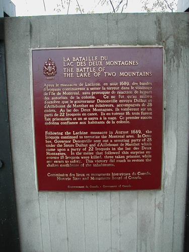 Battle of the Lake of Two Mountains National Historic Site of CanadaMontréal, Quebec
 Battle of September 6th, 1775 National Historic Site of CanadaSaint-Jean-sur-Richelieu, Quebec
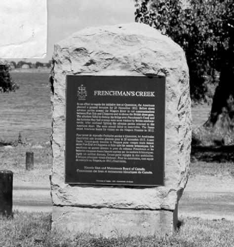 Frenchman's Creek National Historic Site of CanadaFort Erie, Ontario
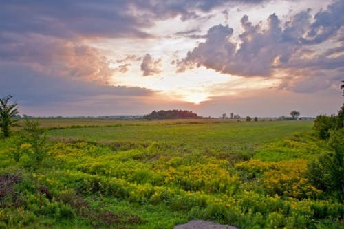 Battle of the Châteauguay National Historic Site of CanadaTrès-Saint-Sacrement, Quebec
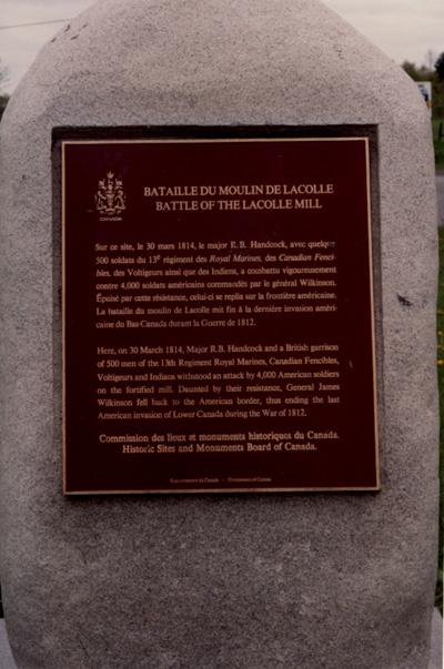 Battle of Lacolle National Historic Site of CanadaNotre-Dame-du-Mont-Carmel, Quebec
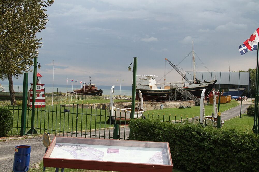 EnhancedSaint-Joseph-de-la-Rive Shipyard National Historic Site of CanadaSaint-Joseph-de-la-Rive, Quebec
From the Canadian Register of Historic Places, as last updated on December 12, 2025. The register’s text is shown word for word.