National Historic Site of Canada
Battle of September 6th, 1775 National Historic Site of Canada
Saint-Jean-sur-Richelieu, Quebec
Also known as Battle of September 6th, 1775, Bataille du 6 septembre 1775
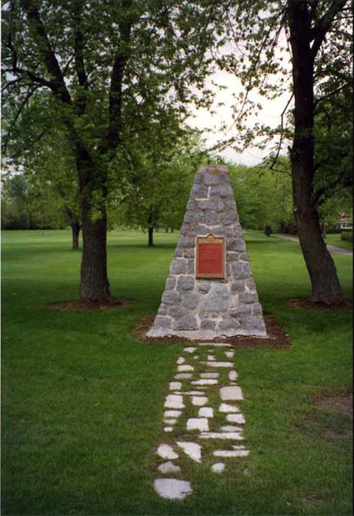
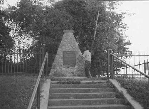
Photo of the location of the plaque and cairn commemorating the site of the Battle of September 6th, 1775.
Photo: Parks Canada | Parcs Canada
- Recognized
- 1928
- By
- Government of Canada
The register’s text, word for word
Description
The Battle of September 6th, 1775 National Historic Site of Canada is located in the town of Saint-Jean-sur-Richelieu, Quebec. Situated near Rivière Bernier, formerly named Montgomery Creek, the site is less than a kilometre from the Richelieu River and is 1.6 km from Fort Saint-Jean National Historic Site of Canada. There are no extant remains of the battle of September 6th, 1775, in which a patrol of Aboriginal warriors, many of them Mohawk, led by a Grand Chief and two European Captains turned back an American invasion force. Marked by a Historic Sites and Monuments Board of Canada (HSMBC) plaque, erected in 1929, the site is now a grassed area flanked by maple trees adjacent to a private golf course. Official designation refers to the plot of land on which the HSMBC plaque is located.
Heritage value
Battle of September 6th, 1775 was designated as a national historic site of Canada in 1928 because:
- a party of Mohawks led by Captain Gilbert Tice, and other Aboriginal people commanded by Captain Guillaume de Lorimier, surprised Montgomery’s invading force on the south bank of this river and compelled it to re-embark for Île-aux-Noix
In 1775, during the American Revolutionary War, an American army led by Major-General Philip Schuyler, Colonel Benedict Arnold and Brigadier General Richard Montgomery launched an invasion into British-Canada, in an attempt to gain military control of the Province of Quebec. Brigadier-General Montgomery led one half of the invasion force, consisting of 1,500 soldiers, across the border and assembled on Île-aux-Noix in the Richelieu River, north of Lake Champlain. On September 6th, 1775 Montgomery and Major-General Schuyler sailed down the Richelieu River intending to attack Fort Saint-Jean. After landing on the west bank of the Richelieu, approximately 1.6 km from Fort Saint-Jean, the invasion force was fired upon by a patrol of approximately 100 Aboriginal warriors, many of them Mohawk, led by Grand Chief Solsienhooane and captains Gilbert Tice and Guillaume de Lorimier. During the battle, eight Americans were killed and nine were wounded while the patrol of Tice and Lorimier suffered four dead and five wounded, including Captain Tice. The Americans were forced to retreat to Île-aux-Noix. Though successfully turned back on the night of September 6th the American force returned and succeeded in besieging Fort Saint-Jean on September 13th for forty-five days until the fort capitulated November 3rd, 1775. The American invasion of Canada continued into the year 1776 until the arrival of British reinforcements helped to successfully drive the invasion force back across the border.
SourceHistoric Sites and Monuments Board of Canada, Minutes, June 2010.
Character‑defining elements
Key elements contributing to the heritage value of this site include:
- its location near Rivière Bernier less than a kilometre from the Richelieu River in Saint-Jean-sur-Richelieu;
- the site’s proximity, approximately 1.6 km, to the location of the original Fort Saint-Jean;
- its setting in an open grassy area, flanked by maple trees;
- the integrity of any surviving or as yet unidentified archaeological remains which may be found within the site relating to the Battle of September 6th, 1775 in their original placement and extent;
- the viewscapes to and from the site.
End of the register’s text
Location
320 Jacques-Cartier Street South, Saint-Jean-sur-Richelieu, Quebec, Canada
45.28018° N, 73.25670° W
Get directions (opens in a new tab)Being on the register doesn’t make a place open to visitors. Many are private homes or businesses; please view them from the street.

Loading map…
 Fort Saint-Jean National Historic Site of Canada2 km · 1748
 Royal Military College Saint-Jean, Sergeants’ Mess2.2 km · 1839
 Royal Military College Saint-Jean, Officer's Mess2.2 km · 1839
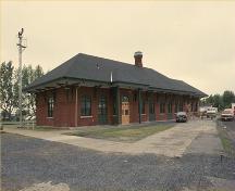 Saint-Jean-d'Iberville Railway Station (Grand Trunk) National Historic Site of Canada2.5 km · 1890
 Maison McGinnis2.8 km · 1832
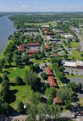 Royal Military College Saint-Jean, Gallisonnière Block / Supply3 km
Similar places
Places whose register descriptions are closest to this one.
 Battle of the Cedars National Historic Site of CanadaLes Cèdres, Quebec
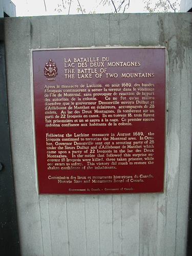 Battle of the Lake of Two Mountains National Historic Site of CanadaMontréal, Quebec
 Battle of Rivière des Prairies / Battle of Coulée Grou National Historic Site of CanadaMontréal, Quebec
 Battle of the Châteauguay National Historic Site of CanadaTrès-Saint-Sacrement, Quebec
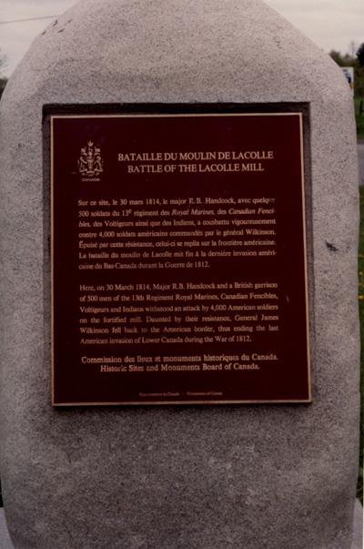 Battle of Lacolle National Historic Site of CanadaNotre-Dame-du-Mont-Carmel, Quebec
 Battle Hill National Historic Site of CanadaSouthwest Middlesex, Ontario
From the Canadian Register of Historic Places, as last updated on December 12, 2025. The register’s text is shown word for word.