National Historic Site of Canada
Battle of the Châteauguay National Historic Site of Canada
Très-Saint-Sacrement, Quebec
Also known as Battle of the Châteauguay, Bataille de la Châteauguay

Front line of the battlefield of the Battle of the Châteauguay
Photo: Parks Canada | Parcs Canada
- Recognized
- 1920
- By
- Government of Canada
The register’s text, word for word
Description
Battle of the Châteauguay National Historic Site of Canada is a small fragment of a War of 1812 battlefield located on the banks of the Châteauguay River at Allan's Corners in the municipality of Howick, near Ormstown, some 50 kilometres south-west of Montréal.
Heritage value
Battle of the Châteauguay was declared a national historic site because it was the site of a Canadian victory on 26 October 1813, and because of the role French Canadian troops played in the defence of Canada against American invasion during the War of 1812.
The heritage value of Battle of the Châteauguay National Historic Site resides in its identity as a memorial remnant in the midst of the legible, relatively undisturbed cultural landscape of the battlefield which extends from the fork of the Châteauguay and Outardes Rivers to that of the Châteauguay and English, covering an area of about 500 acres. The centre of the battlefield was located between Morrison Ford and Round Point.
SourceHSMBC Minute, 1977 and 1997; Commemorative Integrity Statement
Character‑defining elements
Aspects of this site which contribute to its heritage values include:
- the landscape as tangible link with the historic battlefield,
- the viewscapes between the battlefield and the river,
- the numerous small streams flowing into the Chateauguay River used by de Salaberry as defensive positions,
- the trace of the wagon trail used by the American soldiers,
- archaeological remains related to the battle (the blinds, the blockhouse, the trenches, ford defences, and logistical installations),
- the commemorative monument and plaque erected by the Canadian government in 1895.
End of the register’s text
Location
2371 chemin de la rivière Châteauguay, Très-Saint-Sacrement, Quebec, J0S, Canada
45.15834° N, 73.92886° W
Get directions (opens in a new tab)Being on the register doesn’t make a place open to visitors. Many are private homes or businesses; please view them from the street.

Loading map…
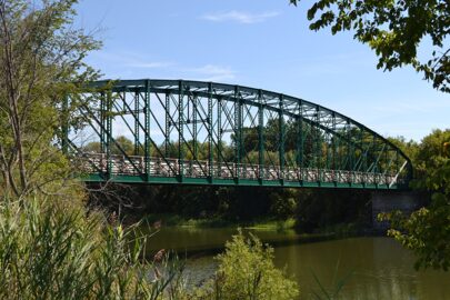 EnhancedPont Turcot6.8 km · 1889
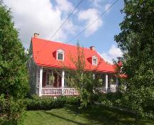 Maison Pierre-Rousselle14 km · Sainte-Martine · 1823
 Aqueduc de la Rivière-Saint-Pierre16 km · Salaberry-de-Valleyfield · 1843
 Beauharnois Power Development National Historic Site of Canada17 km · Beauharnois · 1929
 Pointe-du-Buisson National Historic Site of Canada18 km · Beauharnois
 Site archéologique de la Pointe-du-Buisson18 km · Beauharnois
Similar places
Places whose register descriptions are closest to this one.
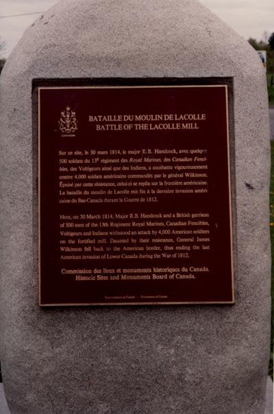 Battle of Lacolle National Historic Site of CanadaNotre-Dame-du-Mont-Carmel, Quebec
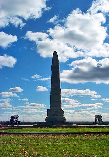 Battle of Crysler's Farm National Historic Site of CanadaMorrisburg, Ontario
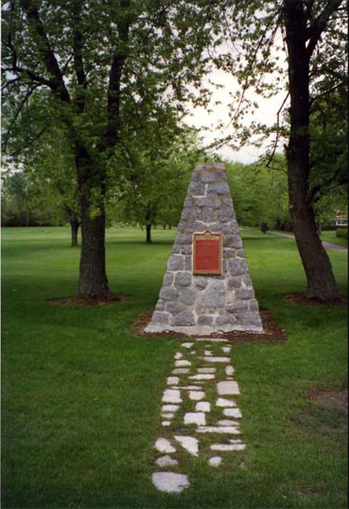 Battle of September 6th, 1775 National Historic Site of CanadaSaint-Jean-sur-Richelieu, Quebec
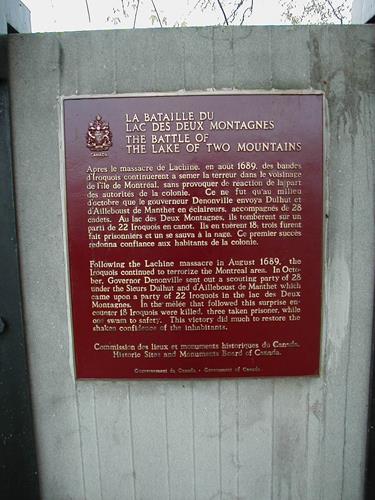 Battle of the Lake of Two Mountains National Historic Site of CanadaMontréal, Quebec
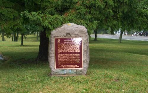 Battle of Chippawa National Historic Site of CanadaNiagara Falls, Ontario
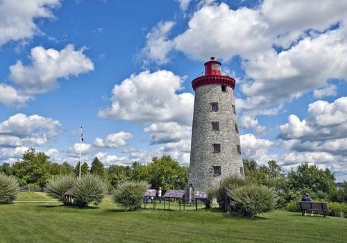 Battle of the Windmill National Historic Site of CanadaPrescott, Ontario
From the Canadian Register of Historic Places, as last updated on December 12, 2025. The register’s text is shown word for word.