National Historic Site of Canada
Fort Saint-Jean National Historic Site of Canada
Saint-Jean-sur-Richelieu, Quebec
Also known as Fort Saint-Jean, Royal Military College Saint-Jean, Collège militaire royal de Saint-Jean
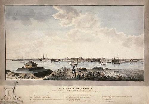
Watercolour of Fort Saint-Jean in 1779, showing a plan of the fort in the bottom left corner.
Photo: Library and Archives Canada / Bibliothèque et Archives Canada, C-001507, 1779.
- Built
- 1748
- Recognized
- 1923
- By
- Government of Canada
The register’s text, word for word
Description
Fort Saint-Jean National Historic Site of Canada is located on the Richelieu River, about 40 kilometres southeast of Montréal, in Saint-Jean-sur-Richelieu, Québec. Built in the 18th century, remains of the early fort ramparts include the masonry foundations, piling impressions, and stockade trenches. Remains of the 1776 fort can also be seen on the site today, particularly the two bastions. Official recognition refers to the footprint of the forts built in 1748 and 1775–1776.
Heritage value
Fort Saint-Jean was designated a national historic site of Canada in 1923 for the following reasons:
- it is associated with the fort built in 1748 by the engineer Chaussegros De Lery under the orders of the Governor, La Galissonnière. At the time, the fort was the rendez-vous for all the military expeditions towards Lake Champlain;
- following its demolition by Commandant de Roquemaure on August 31, 1760, it was rebuilt by Governor Carleton in 1775; and,
- in 1775, it stood a 45 days' siege directed by General Montgomery during the American invasion.
Between 1665 and 1666, the French erected five forts along the Richelieu River to counter Iroquois attacks. The location of the first Fort Saint-Jean, built in 1666 and abandoned in 1672, is unknown to this day. The French used the fort again after the War of the Austrian Succession in 1748, when a new fort was built in Saint-Jean by engineer Gaspard-Joseph Chaussegros de Léry Jr.. The fort comprised a stockade built on piles, 3.5 to 4 metres tall (12 to 13 feet), flanked by bastions at each corner with firing slits for cannons. With the exception of its masonry foundation, all components of the fort were made of wood.
In 1760, the French abandoned and burned the fort, but the surrounding area remained sought after for its strategic location on route to Montreal. In the summer of 1775, during the American Revolution, the fort was once again rebuilt, this time to protect against the cannon fire of the American invasion. Styled after the model by Sébastien Le Prestre, Marquis de Vauban, the new fort withstood a 45-day siege led by the American General Richard Montgomery. Following the 1837 uprising, new fortifications were built on the site, which, since 1952, have formed the core of the Royal Military College Saint-Jean.
SourceHistoric Sites and Monuments Board of Canada, Minutes, 1923, November 2008.
Character‑defining elements
Key elements that contribute to the heritage character of the site include:
- its location, overlooking the Richelieu River;
- the remains of the second fort, erected in 1748, including its southeast bastion, a portion of the northeast bastion masonry foundations, a portion of the stockade trench on the north curtain wall, and its relationship to a trench further west;
- a section of the stockade trench on the curtain wall which was uncovered, and a collection of artefacts that reflect the fort’s historic occupancy;
- the remains of the 1776 fort, including the earth ramparts that surround the site, and a tar pit which crosses the retired portion of the southern redoubt’s defensive trench, also uncovered;
- viewscapes of the Richelieu River from the fort;
- the in-situ archaeological remains of the two forts and siege in their locations, forms, and materials, and the intact, documented artefacts recovered from these sites.
End of the register’s text
Location
Saint-Jean-sur-Richelieu, Quebec, J3B, Canada
45.29805° N, 73.25195° W
Get directions (opens in a new tab)Being on the register doesn’t make a place open to visitors. Many are private homes or businesses; please view them from the street.

Loading map…
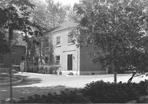 Royal Military College Saint-Jean, Sergeants’ Mess150 m · 1839
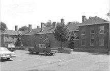 Royal Military College Saint-Jean, Officer's Mess200 m · 1839
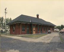 Saint-Jean-d'Iberville Railway Station (Grand Trunk) National Historic Site of Canada550 m · 1890
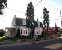 Maison McGinnis750 m · 1832
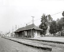 Canadian Pacific Railway Station1.3 km · 1887
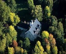 Manoir William-Plenderleath-Christie1.6 km · 1835
Similar places
Places whose register descriptions are closest to this one.
 Fort Richelieu National Historic Site of CanadaSorel, Quebec
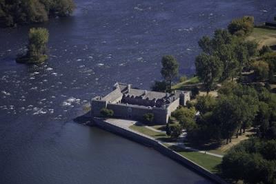 Fort Chambly National Historic Site of CanadaChambly, Quebec
 Fort St-Louis National Historic Site of CanadaKahnawake, Quebec
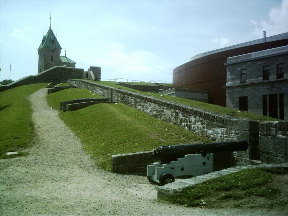 EnhancedFortifications of Québec National Historic Site of CanadaQuébec, Quebec
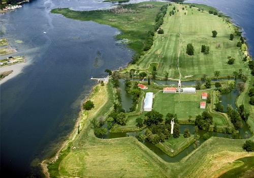 Fort Lennox National Historic Site of CanadaSaint-Paul-de-lÎle-aux-Noix, Quebec
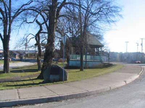 Fort Charnisay National Historic Site of CanadaSaint John, New Brunswick
From the Canadian Register of Historic Places, as last updated on December 12, 2025. The register’s text is shown word for word.