National Historic Site of Canada
Battle of Rivière des Prairies / Battle of Coulée Grou National Historic Site of Canada
Montréal, Quebec
Also known as Battle of Rivière des Prairies / Battle of Coulée Grou, Bataille de Rivière-des-Prairies / combat de la coulée Grou
- Recognized
- 1924
- By
- Government of Canada
The register’s text, word for word
Description
Battle of Rivière des Prairies / Battle of Coulée Grou National Historic Site of Canada is located on a rolling, partially treed landscape near the coast of the Island of Montréal in Québec. It was the site of a battle between a group of Iroquois and a group of French settlers in 1690. There are no extant remains of the battle; however, the site is marked by a Historic Sites and Monuments Board of Canada commemorative plaque that is located approximately 60 metres from the creek on Gouin Boulevard. Official recognition refers to the irregular polygon of the battle site at the time of designation.
Heritage value
Battle of Rivière des Prairies / Battle of Coulée Grou was designated a national historic site of Canada in 1924 because:
- it is the site of a battle, in 1690, between the French and the Iroquois.
On July 2 1690, the Sieur de Colombet, a former lieutenant in the French army, was alerted to the presence of a group of Iroquois on the nearby Rivière des Prairies, prompting him to gather 25 settlers to investigate. They traveled to the property of Jean Grou, near the creek bearing his name, and fired on the canoes of the Iroquois, killing four. The Iroquois, numbering roughly 100, landed and engaged in combat with the French. In the ensuing battle 15 French and 30 Iroquois were killed or taken prisoner.
SourceHistoric Sites and Monuments Board of Canada, Minutes, 1924, June 1980, May 2009.
Character‑defining elements
Key elements contributing to the heritage value of this site include:
- its location, on the island of Montréal in Québec;
- its siting on a rolling, partially treed landscape on the banks of the Rivière des Prairies and Coulée Grou Creek;
- the integrity of any surviving or as yet unidentified archaeological remains which may be found within the site in their original placement and extent;
- the viewscapes to and from the site, the Rivière des Prairies and Coulée Grou Creek.
End of the register’s text
Location
13470 Gouin Boulevard East, Montréal, Quebec, H1A, Canada
45.69908° N, 73.50280° W
Get directions (opens in a new tab)Being on the register doesn’t make a place open to visitors. Many are private homes or businesses; please view them from the street.

Loading map…



Similar places
Places whose register descriptions are closest to this one.
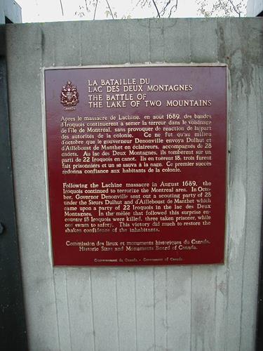 Battle of the Lake of Two Mountains National Historic Site of CanadaMontréal, Quebec
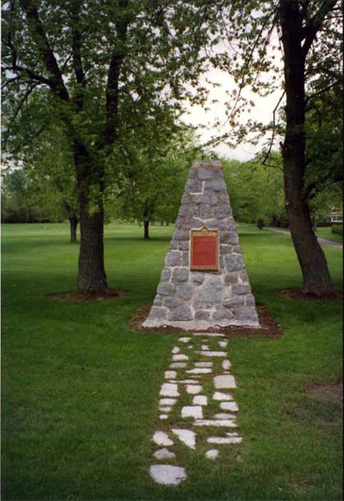 Battle of September 6th, 1775 National Historic Site of CanadaSaint-Jean-sur-Richelieu, Quebec
 Battle of the Châteauguay National Historic Site of CanadaTrès-Saint-Sacrement, Quebec
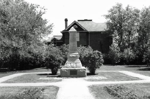 Battle of Seven Oaks National Historic Site of CanadaWinnipeg, Manitoba
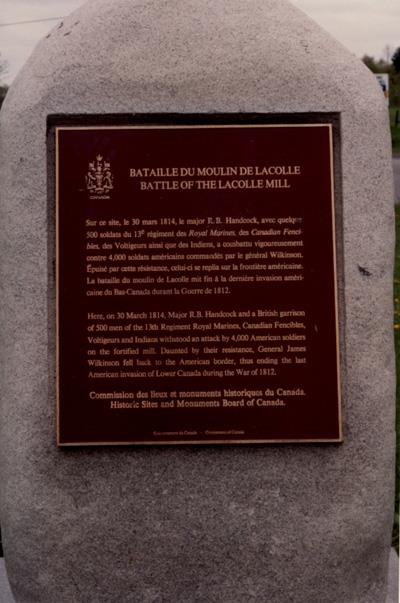 Battle of Lacolle National Historic Site of CanadaNotre-Dame-du-Mont-Carmel, Quebec
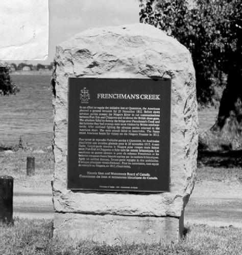 Frenchman's Creek National Historic Site of CanadaFort Erie, Ontario
From the Canadian Register of Historic Places, as last updated on December 12, 2025. The register’s text is shown word for word.