National Historic Site of Canada
Walled Landscape of Grates Cove National Historic Site of Canada
Grates Cove, Newfoundland and Labrador
Also known as Walled Landscape of Grates Cove, Paysage des Murs de Grates Cove
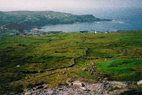
View of the Walled Landscape of Grates Cove, showing the treeless headland and its excellent views towards the ocean, evocative of the residents’ relationship with the sea and land.
Photo: Parks Canada Agency / Agence Parcs Canada.
- Built
- 1790–2009
- Recognized
- 1995
- By
- Government of Canada
The register’s text, word for word
Description
The Walled Landscape of Grates Cove National Historic Site of Canada is a visually distinct, grassy landscape of approximately 150 acres (60.7 hectares), situated on the windswept headland of the Northern point of Avalon Peninsula in Newfoundland. Across the treeless landscape, jagged stone walls snake over the contours of the land, defining small fertile gardens and creating a landscape representing the relationship between the land and the residents of Grates Cove. The designation refers to boundary of Grates Cove at the time of its designation in 1995.
Heritage value
The Walled Landscape of Grates Cove was designated a national historic site of Canada in 1995 because:
-it is a rare surviving example of a once common system of land and community organization particular to Newfoundland which, in its form, extent, and endurance, continues to speak eloquently to the history and community organization of this particular outport;
-a tradition of "taking the land" at Grates Cove has resulted in the creation of a landscape distinguished by a combination of thrown, stacked, and piled stone walls which covers approximately 150 acres and is characterized by numerous walled gardens scattered over a rocky headland - a landscape associated with a land use practice that places little value on the formalities of land ownership and requires the cooperative efforts of the community to build and maintain.
In a context where people made their living primarily from the fisheries, the residents of Grates Cove developed a fluid relationship with the land, cultivating small garden plots to supplement their diets. Rocks were removed from pockets of arable soil and stacked around these pockets to protect them from wind and foraging animals. Gardens nearer the houses were generally devoted to root crops and those farther away to pasturage. The system of shared ownership and informal transfer of land owes its origins to Ireland, the native land of many of the original settlers.
SourceHistoric Sites and Monuments Board of Canada, Submission Report, 1995; Minutes, October 2006.
Character‑defining elements
Key elements contributing to the heritage value of this site include:
- the treeless headland and its excellent views towards the ocean, evocative of the residents’ relationship with the sea and land;
- the rolling terrain, its pockets of arable soil, the hundreds of stone walls;
- the variety of the heights, widths, materials, and construction techniques of the stone walls.
End of the register’s text
Location
Grates Cove, Newfoundland and Labrador, A0A, Canada
48.16667° N, 52.93333° W
Get directions (opens in a new tab)Being on the register doesn’t make a place open to visitors. Many are private homes or businesses; please view them from the street.

Loading map…
Nearby
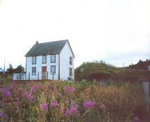
Similar places
Places whose register descriptions are closest to this one.
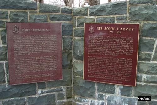 Fort Townshend National Historic Site of CanadaSt. John's, Newfoundland And Labrador
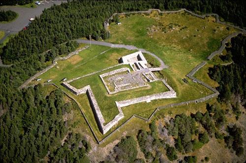 Castle Hill National Historic Site of CanadaPlacentia, Newfoundland And Labrador
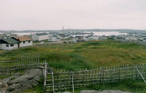 Tilting National Historic Site of CanadaTilting, Newfoundland And Labrador
 Hawthorne Cottage National Historic Site of CanadaBrigus, Newfoundland And Labrador
 Cape Race Lighthouse National Historic Site of CanadaCape Race, Newfoundland And Labrador
 Hawthorne CottageBrigus, Newfoundland And Labrador
From the Canadian Register of Historic Places, as last updated on December 12, 2025. The register’s text is shown word for word.