Local Register
Victoria Park
Moncton, New Brunswick
Also known as Victoria Square, Place Victoria, Moncton Commons
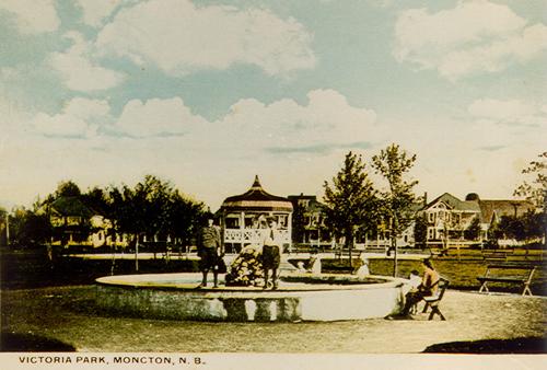
This postcard view shows the fountain that was installed in the park in 1915.
Photo: Moncton Museum
- Built
- 1901–1915
- Recognized
- 2004
- By
- Local government
The register’s text, word for word
Description
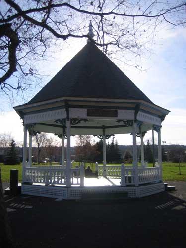
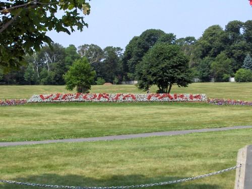
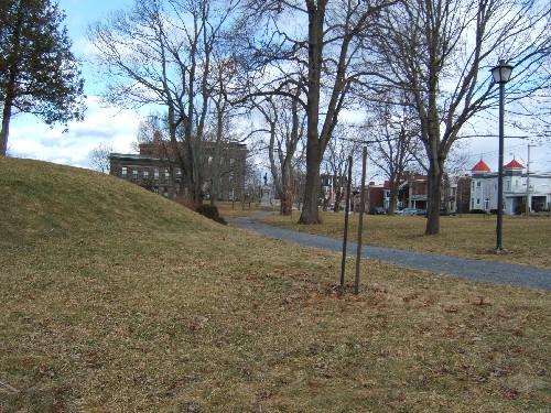
Victoria Park is a rectangular well-manicured and mature urban green space in Moncton containing monuments, a bandstand, fountain and walking paths. It is bound by John Street to the north, Cameron Street to the west, Weldon Street to the east and Park Street to the south.
Heritage value
Victoria Park was designated for being one of the earliest and best-maintained public parks in Moncton, and for its monuments.
It was only a grassy field called the Moncton Commons when it was donated to the City of Moncton by the Moncton Land Company (John A. Humphrey, Michael Spurr Harris and Christopher P. Harris) in 1901. The original park concept, called Victoria Square, was developed over the following 14 years. The footpath design allows visitors to navigate the different features of the park. Victoria Park has served as the backdrop for significant community events, including royal visits, commemorative celebrations and annual craft fairs.
SourceMoncton Museum, Moncton, New Brunswick - second floor files – “Victoria Park”.
Character‑defining elements
The character-defining elements relating to the designation of Victoria Park for being one of the earliest and best-maintained public parks in Moncton, and for its monuments include:
- location on former Moncton Commons;
- mature, well-manicured civic park grounds;
- well-designed footpaths;
- fountain;
- amphitheatre/bandstand;
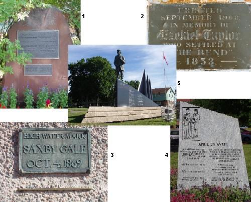
- 1921 monument to members of the Moncton Land Company;
- 1922 World War I Cenotaph by Emmanuel Hahn;
- World War II artillery gun monument to the 8th Field Battery R. C. A. (Overseas) Association;
- 2000 twin monuments to fallen firefighters and police officers.
End of the register’s text
Location
Moncton, New Brunswick, E1C, Canada
46.09250° N, 64.78972° W
Get directions (opens in a new tab)Being on the register doesn’t make a place open to visitors. Many are private homes or businesses; please view them from the street.

Loading map…
Similar places
Places whose register descriptions are closest to this one.
From the Canadian Register of Historic Places, as last updated on December 12, 2025. The register’s text is shown word for word.