National Historic Site of Canada
Serpent Mounds National Historic Site of Canada
Otonabee-South Monaghan, Ontario
Also known as Serpent Mounds, Tumulus Serpent, Serpent Mounds Park
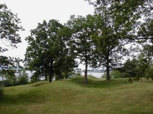
General view of Serpent Mounds, showing a grouping of burial mounds forming a serpentine shape, 2006.
Photo: Parks Canada Agency / Agence Parcs Canada, 2006.
- Recognized
- 1982
- By
- Government of Canada
The register’s text, word for word
Description
Serpent Mounds National Historic Site of Canada is located in an open oak savannah setting on Roach’s Point and East Sugar Island in Rice Lake, Peterborough County, Ontario. A burial site dating from 50 BCE to 300 CE, it is a grouping of six separate burial locations forming a serpentine shape that is approximately 60 metres long and almost 8 metres wide and 1.5 to 1.8 metres high. The site is presented to the public within the grounds of Serpent Mounds Park on the banks of Rice Lake. Official recognition refers to the burial sites and their associated landscapes located on Roach’s Point and East Sugar Island.
Heritage value
Serpent Mounds was designated a National Historic Site of Canada in 1982 because:
- it provides an exceptionally complete record of life for a period of 350 years ending about C.E.. 300;
- the burial mound shaped like a serpent is the only one of its kind in Canada.
Serpent Mounds incorporates a 4.4-hectare area on Roach’s Point, as well as a 49-hectare area on East Sugar Island. The designated site comprises six distinct areas of archaeological interest, including the Serpent Mounds site, the Alderville site, the Island Centre site, the East Sugar Island site, the Corral site and an unnamed Site BbG m-22. The Serpent Mounds National Historic Site of Canada is the most completely investigated archaeological site in Canada associated with the Point Peninsula culture and contains information on both the daily and the ritual life of this culture, which dates from 50 BCE to 300 CE. The complex also incorporates evidence of Pickering or Early Ontario Iroquois, Late Iroquoian Huron and some Archaic cultures. These sites have been systematically investigated in 1897, 1910, 1955, 1960 and 1968.
SourceHistoric Sites and Monuments Board of Canada, Minutes, June 1982, December 2003.
Character‑defining elements
Key elements that contribute to the heritage character of the site include:
- the integrity of the cultural landscape with its raised mounds in the shape of a serpent;
- the archaeological resources in their found form, extent and materials;
- the Serpent Mounds site as a group of nine earthen mounds and a shell midden on Roach’s Point, specifically: Serpent Mound, the largest mound with a winding outline; Mounds A to I respectively (E and F are known as the Serpent and the Egg); five similar mounds on East Sugar Island (these are the Alderville site, the Island Centre site, the East Sugar Island site, Coral site and unnamed site BbGm-22);
- the integrity and broad range of the Point Peninsula vestiges these sites contain, including: pottery of varying designs and decorative styles, clay pipes of at least four separate designs, lithic assemblages (i.e. projectile points), most commonly of corner-notched and pentagonal forms, including bone and antler artifacts, shells and food refuse remnants in the shell midden, and burial artifacts including combs and jewelry;
- the integrity of vestiges of other cultures found in these mounds, namely three ossuaries of the early Ontario Iroquois stage and some pottery shards of late Iroquoian origin;
- the found arrangement of artifacts in these mounds;
- the spatial relationships between the mounds;
- the continued association of the artifacts and knowledge gained from investigation with the site;
- the setting of the Serpent Mounds group on a high point of land along the edge of a grassy and nearly flat-topped drumlin hill that drops away on three sides to Rice Lake some 15 metres below;
- the natural setting of the other mounds on East Sugar Island;
- the proximity of all mounds to water.
End of the register’s text
Location
Otonabee-South Monaghan, Ontario, Canada
44.20937° N, 78.15662° W
Get directions (opens in a new tab)Being on the register doesn’t make a place open to visitors. Many are private homes or businesses; please view them from the street.

Loading map…
Nearby

Similar places
Places whose register descriptions are closest to this one.
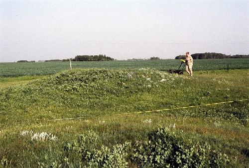 Linear Mounds National Historic Site of CanadaMelita, Manitoba
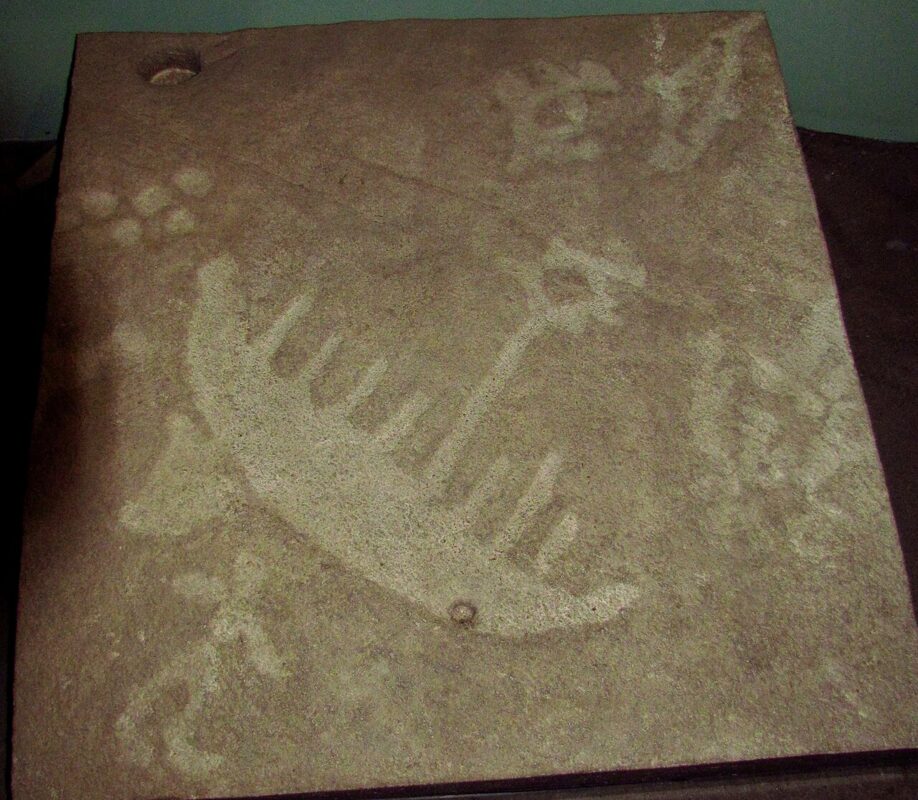 EnhancedPeterborough Petroglyphs National Historic Site of CanadaWoodview, Ontario
 Mnjikaning Fish Weirs National Historic Site of CanadaRamara, Ontario
 Kay-Nah-Chi-Wah-Nung National Historic Site of CanadaStratton, Ontario
 Apitipik National Historic Site of CanadaPikogan, Quebec
 Bead Hill National Historic Site of CanadaToronto, Ontario
From the Canadian Register of Historic Places, as last updated on December 12, 2025. The register’s text is shown word for word.