Special Place
Port Toulouse Archaeological Site - BjCf-03
Battery Provincial Park, Nova Scotia
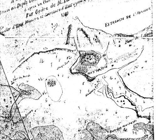
Plan of Port Toulouse, Nova Scotia, 1749. Labelled: "on the south coast of Ile Royale by order of M de Sartine."
Photo: Parks Canada, 1985
- Recognized
- 1985
- By
- Province of Nova Scotia
The register’s text, word for word
Description
Port Toulouse Archaeological Site, Borden Number BjCf-03 was archaeologically surveyed in 1985, and is situated mostly within the boundaries of Battery Provincial Park, near St. Peter's in southwestern Cape Breton. Port Toulouse village consisted of a string of buildings along the shore of St. Peter's Bay, and was created in 1716 by settlers from other Acadian areas that had been transferred to British authority by the Treaty Utrecht. The recognized archaeological site occupies seven hectares of an 800 meter deep stretch of land that separates the Atlantic Ocean from the Bras D'Or Lakes, in Southwestern Cape Breton. The property consists of the archaeological remains registered under Borden number BjCf-03.
Heritage value
Port Toulouse is valued as part of a truly impressive concentration of historical remains in the St. Peter's Portage/Canal area. Taken together with the conglomeration of 17th century French fort and habitation of Saint Pierre immediately west of the park, Port Toulouse forms part of a truly impressive concentration of historical remains in the area.
Port Toulouse was founded in 1716 by Acadian settlers who relocated to Isle Royale, rather than come under British authority after Acadian areas in mainland Nova Scotia had been ceded by France under the Treaty of Utrecht.
Port Toulouse, which was built close to the location of Nicolas Denys's 17th century community, lasted as a French settlement for approximately 50 years. It soon became a major supply centre for Louisbourg, 120 km to the north. Despite attack and destruction by the British in 1745, the settlers returned and Port Toulouse remained French until again set on fire and destroyed by another British force in November 1758. In 1768, the village was renamed St. Peter's and French settlement was abandoned.
The architectural remains of French settlement, which was intertwined with military occupation of nearby Fort Toulouse, differ in many aspects from those at the more famous site of Louisbourg. Although the village site has been partially disturbed by subsequent cultivation and to some extent by the later British period Kavanagh settlement, the site appears less affected by erosion than the fort. Excavation of one or more Port Toulouse structures would contribute to our knowledge of relatively simple village, and frontiere-style military structures. Port Toulouse is valued for its potential to extend our knowledge of Acadian adaptation during the final 40 years of French domination in maritime Canada.
SourceArchaeological Investigations in Battery Provincial Park, Cape Breton, Nova Scotia, 1985, Walla00002, Birgitta Linderoth Wallace, Staff Archaeologist, Parks Canada, Atlantic Region; Preliminary Report The Port Tolouse and Sand Hills Sites, Birgitta Linderoth Wallace, Staff Archaeologist, Environment Canada - Parks, Atlantic Region Office, Halifax.
Character‑defining elements
The heritage value of the Port Toulouse Archaeological Site resides in the following character-defining elements:
- the site in the context of the large concentration of 17th and 18th century French forts and habitation remains in the area;
- those elements shown by archaeological exploration to be related to Port Toulouse village;
- those elements shown by archaeological exploration to be related to Fort Toulouse military activities;
- archaeological evidence embedded in the site of post-Treaty of Utrecht Acadian adaptation to shifting French/British dominance in the region;
- those artifacts which are in storage; and
- any other yet-to-be identified features and artifacts related to the concentration of French period occupation in the St. Peter's area.
End of the register’s text
Location
Battery Provincial Park, St. Peter's, Nova Scotia, B0E, Canada
45.65685° N, 60.86692° W
Get directions (opens in a new tab)Being on the register doesn’t make a place open to visitors. Many are private homes or businesses; please view them from the street.

Loading map…
Nearby
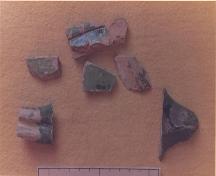 Fort Toulouse Archaeological Site - BjCf-02within 100 m
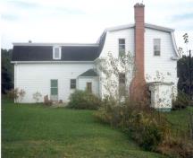 Lockmaster's House250 m · St. Peter's · 1876
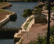 St. Peters Canal National Historic Site of Canada300 m · St. Peters · 1854
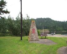 St. Peters National Historic Site of Canada750 m · St. Peter's
 MacAskill House900 m · St. Peter's
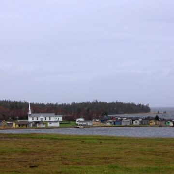 EnhancedChapel Island National Historic Site of Canada9.3 km · Chapel Island
Similar places
Places whose register descriptions are closest to this one.
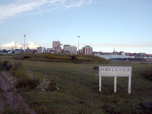 Fort LaTourSaint John, New Brunswick
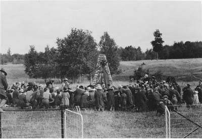 Fort St. Louis National Historic Site of CanadaBarrington - Port La Tour, Nova Scotia
 Crystal Crescent Archaeological Site, Borden Number BcCv-01 to 03Sambro, Nova Scotia
 Royal Battery National Historic Site of CanadaLouisbourg, Nova Scotia
 Chapel Point Battery SiteSydney Mines, Nova Scotia
 Port Royal HabitationPort Royal, Nova Scotia
From the Canadian Register of Historic Places, as last updated on December 12, 2025. The register’s text is shown word for word.