National Historic Site of Canada
Port Stanley National Historic Site of Canada
Central Elgin, Ontario
Also known as Port Stanley
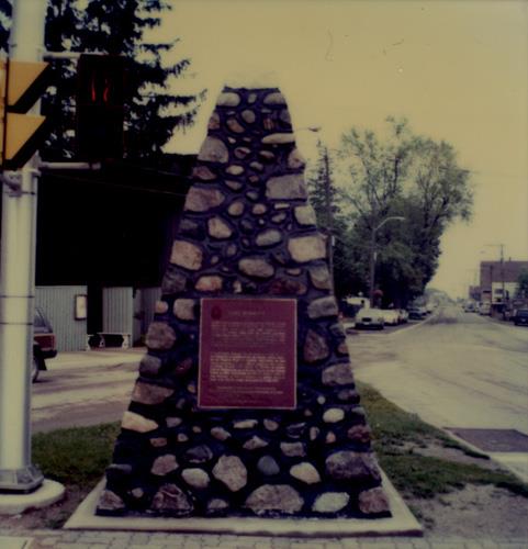
General view of the plaque at Port Stanley National Historic Site of Canada, 1989.
Photo: Parks Canada Agency / Agence Parcs Canada, 1989.
- Built
- 1669
- Recognized
- 1923
- By
- Government of Canada
The register’s text, word for word
Description
Port Stanley National Historic Site of Canada is located on a triangular section of land east of Kettle Creek in the village of Port Stanley, Ontario. The site is situated on a small traffic island at the intersection of Bridge, Main, Joseph and Colborne streets in the centre of the village. While there are no known resources associated with any of the early episodes in Port Stanley’s history, the village’s association with Adrien Jolliet, General Brock’s expedition and significant early explorers is commemorated by a Historic Sites and Monuments Board of Canada (HSMBC) cairn, which is located on the northeast corner of the site. Official recognition refers to the site of the HSMBC cairn located on the triangular plot of land forming the traffic island at the centre of the intersection of Bridge, Main, Joseph and Colborne streets.
Heritage value
Port Stanley was designated a national historic site of Canada in 1923 because:
- it is the site where Adrien Jolliet landed in 1669, during the first descent of the lakes made by Europeans.
- General Brock’s expedition encamped on the beach 9 August 1812 on its way to Detroit.
- it was visited by a number of significant explorers and travellers: Dollier and Galinée (1670); Captain Céloron de Blainville (1749); Sir William Johnson (1761); Colonel Talbot (1801); and Lord Stanley (1824).
In the 17th century, Europeans began exploring and mapping the Great Lakes. The landing point of Kettle Creek, which later became the village of Port Stanley, was part of an important early route from Lake Erie to other inland waterways. The mouth of Kettle Creek therefore became a popular camping spot for a succession of explorers and travellers of the 17th and 18th centuries. For example, Adrien Jolliet, brother of explorer and cartographer Louis Jolliet, first landed at the mouth of Kettle Creek in 1669. It was from this point at present-day Port Stanley that the first descent of the Great Lakes was made by Europeans.
In addition, François Dollier de Casson and René de Bréhant de Galinée arrived at the mouth of Kettle Creek in 1670 using Jolliet’s information. They proceeded to depart north to present-day Sault Ste. Marie. In 1749, almost a century later, French Captain Pierre Joseph Celoron de Blainville, an officer in the colonial regular troops, passed through the Port Stanley area on route to expand France’s claim in the Ohio Valley region. In 1761 Sir William Johnson, the British superintendent of Northern Indians passed through this area on his way to a grand council with the western tribes taking place in Detroit. After the creation of Upper Canada in 1791, Colonel Thomas Talbot became one of the original settlers of British descent in the area of Port Stanley. During the War of 1812 General Isaac Brock also camped at Port Stanley on his march to take Fort Detroit. Finally, Lord Edward Stanley, Prime Minister of Great Britain for three terms between 1852 and 1868 visited nearby Talbot Settlement during a tour of Canada and the United States. Port Stanley was named after Lord Stanley following his visit.
SourceHistoric Sites and Monuments Board of Canada, Minutes, 2009.
Character‑defining elements
Key elements contributing to the heritage value of this site include:
- its location in the centre of Port Stanley Ontario, east of Kettle Creek and north of Lake Erie;
- its setting on a triangular plot of land forming the traffic island at the centre of the intersection of Bridge, Main, Joseph and Colborne streets;
- the Historic Sites and Monuments Board of Canada plaque and cairn erected in 1924 to commemorate the various significant explorers and travellers associated with the site;
- viewscapes from the site down Main Street to Kettle Creek and Lake Erie.
End of the register’s text
Location
junction of Bridge, Main and Colbourne Streets, Central Elgin, Ontario, Canada
42.66609° N, 81.21196° W
Get directions (opens in a new tab)Being on the register doesn’t make a place open to visitors. Many are private homes or businesses; please view them from the street.

Loading map…
Nearby
 Port Stanley Breakwater Lighthouse1.2 km · Port Stanley · 1911
 Armoury11 km · St. Thomas · 1901
 Southwold Earthworks National Historic Site of Canada12 km · Southwold · 1550
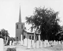 St. Thomas Pioneer Church12 km · City of · 1824
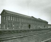 Former Canada Southern Railway Station13 km · St. Thomas · 1871
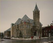 St. Thomas City Hall National Historic Site of Canada13 km · St. Thomas · 1898
Similar places
Places whose register descriptions are closest to this one.
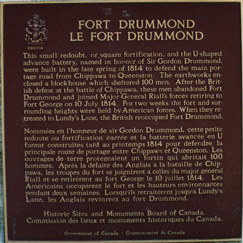 Fort Drummond National Historic Site of CanadaNiagara-on-the-Lake, Ontario
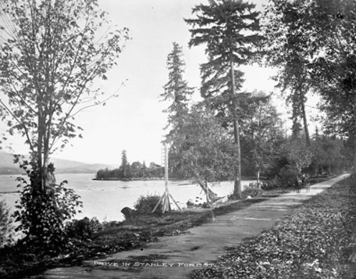 Stanley Park National Historic Site of CanadaVancouver, British Columbia
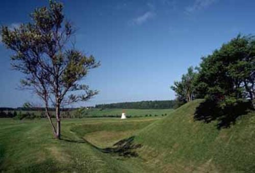 Skmaqn–Port-la-Joye–Fort Amherst National Historic Site of CanadaRocky Point, Prince Edward Island
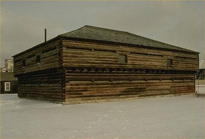 Fort York National Historic Site of CanadaToronto, Ontario
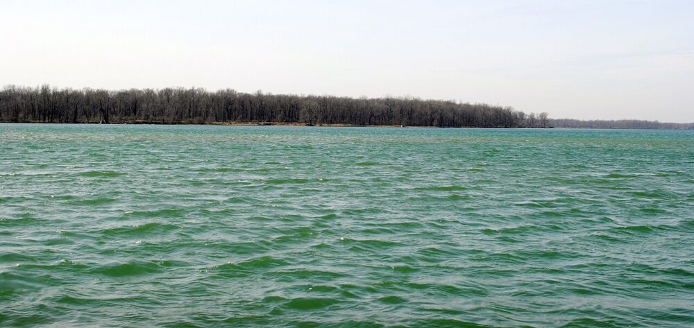 EnhancedNavy Island National Historic Site of CanadaNiagara Falls, Ontario
 Battle of Stoney Creek National Historic Site of CanadaHamilton, Ontario
From the Canadian Register of Historic Places, as last updated on December 12, 2025. The register’s text is shown word for word.