National Historic Site of Canada
Fort Drummond National Historic Site of Canada
Niagara-on-the-Lake, Ontario
Also known as Fort Drummond
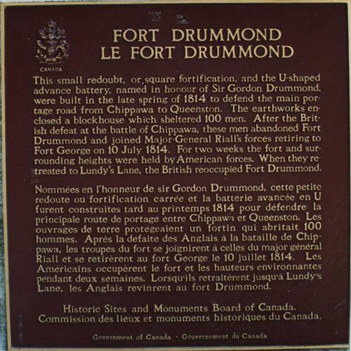
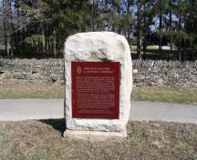
View of the Historic Sites and Monuments Board of Canada plaque commemorating Fort Drummond National Historic Site of Canada, 1989.
Photo: Parks Canada Agency/Agence parcs Canada, 1989.
- Built
- 1814
- Recognized
- 1928
- By
- Government of Canada
The register’s text, word for word
Description
Fort Drummond National Historic Site of Canada is located in a park setting not far from Brock’s Monument in Queenston, Ontario. Built to protect the portage route around Niagara Falls during the War of 1812, the fort’s two square redoubts fell into ruin following the hostilities, and were incorporated into the park in 1926, now Queenston Heights National Historic Site of Canada. Official recognition refers to the two redoubts as defined by the outer limits of their earthworks.
Heritage value
Fort Drummond was designated a national historic site of Canada in 1928 because:
- it was built to defend the main portage road from Chippawa to Queenston.
Fort Drummond was built in the spring of 1814 on Queenston Heights to guard the portage route around Niagara Falls from Chippawa to Queenston. It was composed of a square redoubt, enclosing a blockhouse for 100 men and a U-shaped advanced battery. Following the end of the war, the post was abandoned and sank into ruin. With the creation of the Niagara Parks Commission, both redoubts were incorporated into the Queenston Heights park. In 1926, a children’s wading pool was built in the western redoubt where the barracks once stood, and this use continues today.
SourceHistoric Sites and Monuments Board of Canada, Minutes, 1928; Plaque text, 1977.
Character‑defining elements
Key elements that contribute to the heritage character of the site include:
- its location and park-like setting and proximity to Brock’s Monument within Queenston Heights National Historic Site of Canada;
- the two extant redoubts in their forms, positions and setting;
- the integrity of any surviving or as yet unidentified archaeological remains which may be found within the site in their original placement and extent;
- viewscapes to and from the two extant redoubts, the old Portage Road and the surrounding park, including Brock’s Monument.
End of the register’s text
Location
Niagara-on-the-Lake, Ontario, Canada
43.15976° N, 79.05298° W
Get directions (opens in a new tab)Being on the register doesn’t make a place open to visitors. Many are private homes or businesses; please view them from the street.

Loading map…
 Queenston Heights National Historic Site of Canadawithin 100 m · 1812
 Brock’s Monumentwithin 100 m · Queenston · 1853
 Vrooman's Battery National Historic Site of Canada550 m · 1812
 Willowbank National Historic Site of Canada1.1 km · 1834
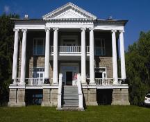 Willowbank Estate1.1 km · 1834
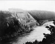 Queenston-Chippawa Hydro-Electric Development National Historic Site of Canada1.6 km · Queenston · 1917
Similar places
Places whose register descriptions are closest to this one.
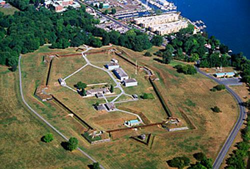 Fort George National Historic Site of CanadaNiagara-on-the-Lake, Ontario
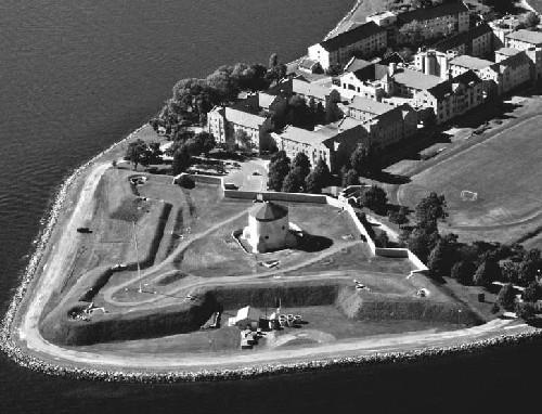 Kingston Fortifications National Historic Site of CanadaKingston, Ontario
 Fort Henry National Historic Site of CanadaKingston, Ontario
 Battlefield of Fort George National Historic Site of CanadaNiagara-on-the-Lake, Ontario
 Fort Mississauga National Historic Site of CanadaNiagara-on-the-Lake, Ontario
 Fort Erie National Historic Site of CanadaFort Erie, Ontario
From the Canadian Register of Historic Places, as last updated on December 12, 2025. The register’s text is shown word for word.