National Historic Site of Canada
Fort Lawrence National Historic Site of Canada
Cumberland, Nova Scotia
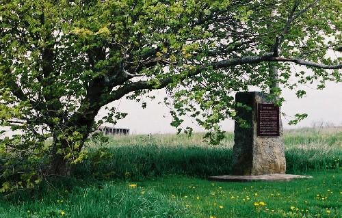
General view of the Fort Lawrence archaeological site, showing the Historic Sites and Monuments Board of Canada plaque, 2003.
Photo: Parks Canada Agency / Agence Parcs Canada, Philip Goldring, 2003.
- Built
- 1750
- Recognized
- 1923
- By
- Government of Canada
The register’s text, word for word
Description
Fort Lawrence National Historic Site of Canada, located on Fort Lawrence Road in Cumberland County, Nova Scotia, is an archaeological site lying atop a gentle ridge surrounded by pasture fields, on the east side of the Missaguash River. Completely built over by a dairy farm, archaeological resources relating to this 18th-century fort’s former embankments and trenches, which were visible until 1991, may yet survive under the dairy barn and yard. Further archaeological remains survive across the entire property administered by Parks Canada. The official recognition refers to a polygon that includes the former footprint of the fort’s earthworks.
Heritage value
Fort Lawrence was designated a national historic site of Canada in 1923 because:
- Fort Lawrence was erected in 1750 by British troops for the defense of the isthmus of Chignecto and abandoned in 1755 after the capture of Fort Beauséjour.
A highly strategic area, the site was occupied for nearly a century before the construction of Fort Lawrence. In 1672, Jacques Bourgeois and other settlers from Port Royal founded the Acadian village of Beaubassin, which grew into a thriving village and one of the largest Acadian settlements. However, in 1750, the French learned of an advancing British army under Major Charles Lawrence and burned the village to the ground. The French, under Louis de la Corne, Chevalier de la Corne, withdrew west across the Missaguash River where they began securing territory. Although Major Lawrence was mandated to secure territory east of the River, his forces were unable to secure the eastern ridge, and French soldiers, along with their Acadian and aboriginal allies drove the British from the area. The British withdrew to Halifax, returning in the fall of 1750 to the east side of the Missaguash River, where they erected Fort Lawrence, which consisted of three large wooden barrack frames and two wooden blockhouses. The French responded by constructing Fort Beauséjour on the opposite ridge the following year. In 1755, a British expedition captured Fort Beauséjour and renamed it Fort Cumberland. It became the British garrison and Fort Lawrence was abandoned.
SourceHistoric Sites and Monuments Board of Canada, Minutes, 1923, October 2005.
Character‑defining elements
Key elements contributing to the heritage value of this site include:
- its location in the town of Fort Lawrence, Nova Scotia;
- its siting in a rural landscape on the east side of the Missaguash River;
- the integrity and materials of the surviving subsurface archaeological remains, features and artefacts in their original placement and extent, including the in situ vestiges, and various discrete archaeological features both identified and as yet unidentified that lie beneath the floor of the dairy barn and its adjacent yard that date to the period of occupation of Fort Lawrence and the settlement of Beaubassin, most notably the former embankments and trenches;
- the subsurface deposits relating to fort and settlement which exist beyond the barn;
- the continued association of the site with archaeological objects removed for research purposes;
- its continued spatial relationship to Fort Beauséjour – Fort Cumberland National Historic Site of Canada and Beaubassin National Historic Site of Canada.
End of the register’s text
Location
Cumberland, Subdistrict C, Nova Scotia, B4H, Canada
45.84778° N, 64.26180° W
Get directions (opens in a new tab)Being on the register doesn’t make a place open to visitors. Many are private homes or businesses; please view them from the street.

Loading map…
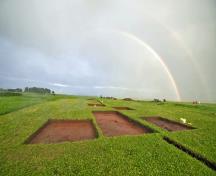 Beaubassin National Historic Site of Canada400 m · Fort Lawrence
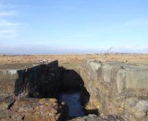 Fort Lawrence Terminus950 m · Fort Lawrence · 1888
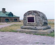 Tonge's Island National Historic Site of Canada1.4 km · Sackville · 1676
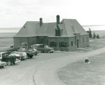 Visitor Centre / Museum2 km · Aulac · 1936
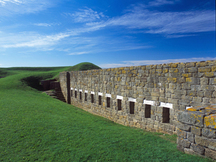 Fort Beauséjour — Fort Cumberland National Historic Site of Canada3 km · Aulac · 1750
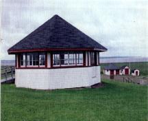 Picnic Shelter / Pavilion3.1 km · Aulac · 1920
Similar places
Places whose register descriptions are closest to this one.
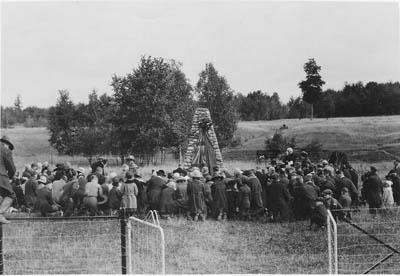 Fort St. Louis National Historic Site of CanadaBarrington - Port La Tour, Nova Scotia
 Fort Edward National Historic Site of CanadaWindsor, Nova Scotia
 Fort Charnisay National Historic Site of CanadaSaint John, New Brunswick
 Fortress of Louisbourg National Historic Site of CanadaLouisbourg, Nova Scotia
 Fort Sainte Marie de Grace National Historic Site of CanadaLaHave, Nova Scotia
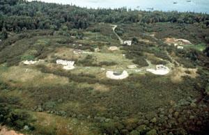 Fort McNab National Historic Site of CanadaHalifax, Nova Scotia
From the Canadian Register of Historic Places, as last updated on December 12, 2025. The register’s text is shown word for word.