National Historic Site of Canada
Fort La Reine National Historic Site of Canada
Portage la Prairie, Manitoba
Also known as Fort La Reine, Fort-La-Reine
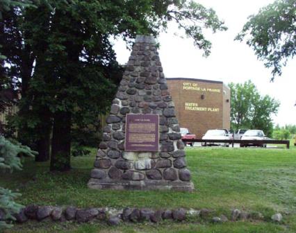
General view of the stone cairn erected by the Historic Sites and Monuments Board of Canada, 2008.
Photo: Parks Canada Agency / Agence Parcs Canada, Blair Philpott, 2008.
- Built
- 1738
- Recognized
- 1925
- By
- Government of Canada
The register’s text, word for word
Description
Fort La Reine National Historic Site of Canada is located on the north bank of the Assiniboine River, on the eastern edge of Portage La Prairie, Manitoba. There are no known remains relating to Fort La Reine, but a stone cairn and plaque have been erected by the Historic Sites and Monuments Board of Canada (HSMBC) to commemorate the site. Official recognition refers to the plot of land on which the HSMBC cairn is located on the north bank of the Assiniboine River, west of Yellowquill Trail.
Heritage value
Fort La Reine was designated a national historic site of Canada in 1925 because of:
- its association with the early exploration of the West during the French Regime.
The heritage value of Fort La Reine resides in its historical associations with the early exploration of the West during the French Regime. The first Europeans to visit this area were probably the French explorers Radisson and Groseillers who explored the region between 1658 and 1690 in search of furs. In October 1738, Pierre Gaultier de Varennes, Sieur de La Vérendrye, established Fort La Reine on the Assiniboine River. The fort was used as a base for further exploration of the Canadian prairies and as one of the chief French trading posts until the end of France’s influence in 1759. There is evidence to suggest that Fort La Reine was abandoned, burned and rebuilt several times, although its exact locations and dates are unknown.
SourceHistoric Sites and Monuments Board of Canada, Minutes, February 2010.
Character‑defining elements
The key elements relating to the heritage value of the site include:
- its location on the eastern edge of Portage La Prairie, Manitoba;
- its siting on the north bank of the Assiniboine River, west of Yellowquill Trail;
- the integrity of any surviving or as yet unidentified archaeological remains, which may be found within the site in their original placement and extent;
- the stone cairn and plaque erected by the Historic Sites and Monuments Board of Canada to commemorate the site;
- viewscapes from the site across the Assiniboine river and the surrounding flat landscape.
End of the register’s text
Location
130 Yellowquill Trail, Portage la Prairie, Manitoba, R1N, Canada
49.95108° N, 98.32718° W
Get directions (opens in a new tab)Being on the register doesn’t make a place open to visitors. Many are private homes or businesses; please view them from the street.

Loading map…
 Former Portage La Prairie Indian Residential School National Historic Site of Canada1.3 km · Portage La Prairie · 1914
 McCowan House3.2 km · 1903
 St. Mary's la Prairie Anglican Church3.4 km · 1897
 Portage La Prairie Public Building National Historic Site of Canada3.5 km · 1896
 Portage la Prairie Armoury3.7 km · 1912
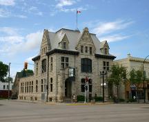 Portage la Prairie Dominion Post Office3.8 km · 1895
Similar places
Places whose register descriptions are closest to this one.
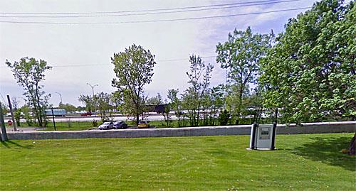 Fort Laprairie National Historic Site of CanadaLa Prairie, Quebec
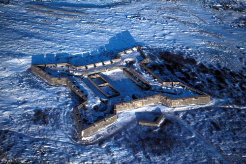 Prince of Wales Fort National Historic Site of CanadaEskimo Point, Manitoba
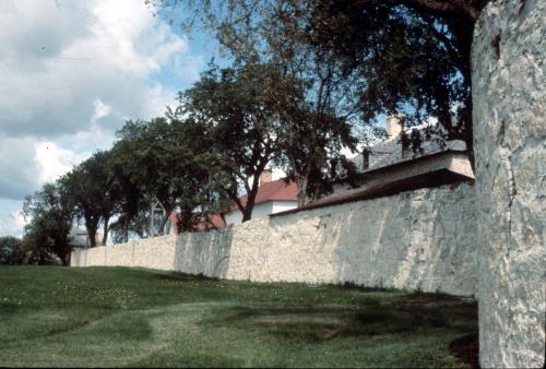 Lower Fort Garry National Historic Site of CanadaSelkirk, Manitoba
 Fort Sainte Marie de Grace National Historic Site of CanadaLaHave, Nova Scotia
 Fort Gaspareaux National Historic Site of CanadaPort Elgin, New Brunswick
 Fort La Tour National Historic Site of CanadaSaint John, New Brunswick
From the Canadian Register of Historic Places, as last updated on December 12, 2025. The register’s text is shown word for word.