National Historic Site of Canada
Port-Royal National Historic Site of Canada
Port Royal, Nova Scotia
Also known as Port-Royal
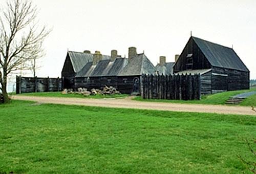
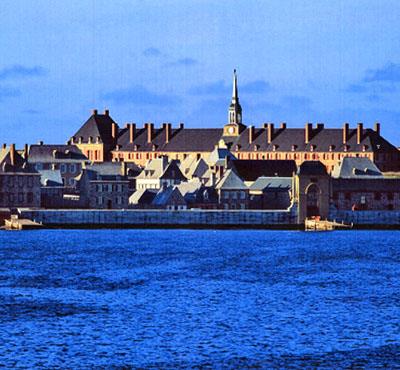
General view of Port-Royal showing the illustration of 17th-century function arrangements through the spatial relationship of buildings and landscape features, 1991.
Photo: Parks Canada Agency / Agence Parcs Canada, J.P. Jérôme
- Built
- 1939
- Recognized
- 1923
- By
- Government of Canada
The register’s text, word for word
Description
Port-Royal National Historic Site of Canada consists of a group of wooden buildings within a stockade, erected as a historic reconstruction of an early 17th-century French fort. The habitation is located on the north shore of the Annapolis Basin opposite Goat Island.
Heritage value
Port-Royal was declared a national historic site to commemorate:
- the legacy of Port-Royal, French culture, commerce and colonization manifest in North America, 1605-1613,
- the experiences of Mi'kmaq and French colonists, 1605-1613
- the replica of the Habitation as a milestone in the Canadian heritage movement.
The heritage value of Port-Royal National Historic Site resides in the reconstructed buildings as an illustration of an early attempt at French colonization and as an example of an early twentieth-century approach to heritage conservation. Port-Royal National Historic Site was constructed in 1939.
SourceHSMBC Minutes, 1994; Commemorative Integrity Statement, 1997.
Character‑defining elements
Key features contributing to the heritage value of this site include:
- the grouping of structures around an inner courtyard within a stockade,
- the rectangular, two-storey massing of the buildings with high peaked roofs,
- the design believed to be typical of 17th-century rural French architecture,
- the wooden construction materials,
- the craftsmanship and construction techniques replicating 17th-century rural French building techniques, including interior furnishings,
- the illustration of 17th-century functional arrangements through the spatial relationship of buildings and landscape features,
- the well, pathways and other man-made landscape features,
- the siting between mountains and shore on the north shore of the Annapolis Basin with sheltered anchorage opposite Goat Island,
- the viewplanes from the basin's entrance to the river mouth at the opposite end of the basin.
End of the register’s text
Location
53 Historic Lane, Port Royal, Nova Scotia, Canada
44.71140° N, 65.60978° W
Get directions (opens in a new tab)Being on the register doesn’t make a place open to visitors. Many are private homes or businesses; please view them from the street.

Loading map…
Nearby
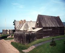 Port Royal Habitation700 m · 1939
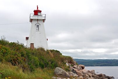 EnhancedSchafner Point Lighthouse750 m · County of Annapolis · 1885
 Melanson Settlement National Historic Site of Canada1.4 km · Lower Granville · 1664
 Goat Island Baptist Church2.7 km · Upper Clements
 Solomon Bowlby House2.7 km · Upper Clements
 Saint Edward's Anglican Church5.3 km · Clementsport
Similar places
Places whose register descriptions are closest to this one.
 Annapolis Royal Historic District National Historic Site of CanadaAnnapolis Royal, Nova Scotia
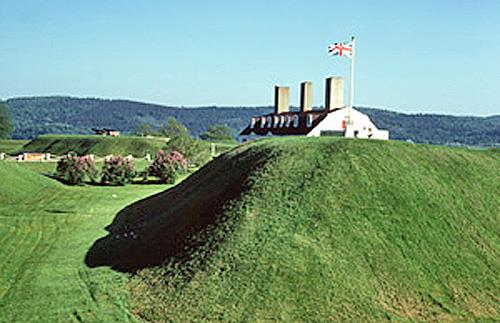 Fort Anne National Historic Site of CanadaAnnapolis Royal, Nova Scotia
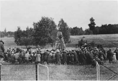 Fort St. Louis National Historic Site of CanadaBarrington - Port La Tour, Nova Scotia
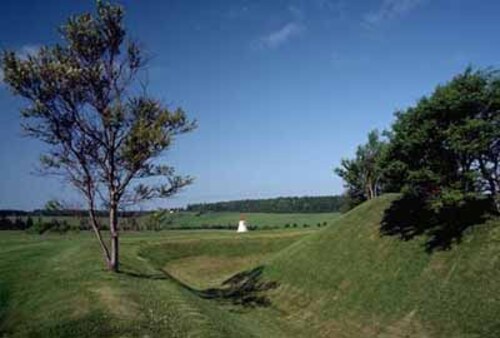 Skmaqn–Port-la-Joye–Fort Amherst National Historic Site of CanadaRocky Point, Prince Edward Island
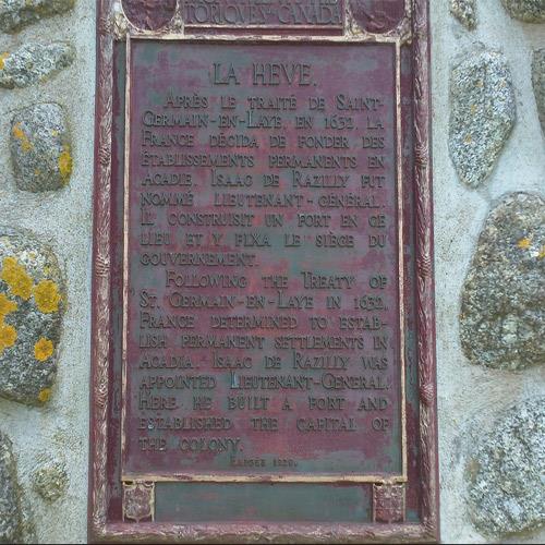 Fort Sainte Marie de Grace National Historic Site of CanadaLaHave, Nova Scotia
 Fortress of Louisbourg National Historic Site of CanadaLouisbourg, Nova Scotia
From the Canadian Register of Historic Places, as last updated on December 12, 2025. The register’s text is shown word for word.