Municipal Heritage Property
Pioneer Cemetery or Nutana Cemetery
Saskatoon, Saskatchewan
Also known as Pioneer Cemetery, Nutana Cemetery, Temperance Colonization Society Cemetery
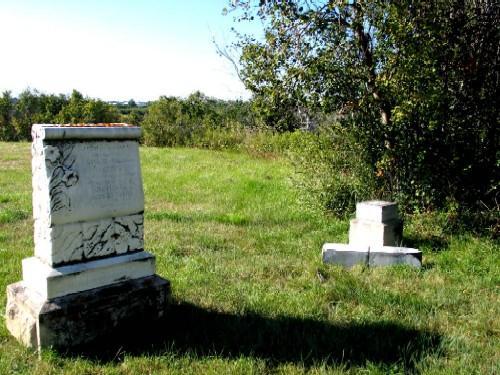
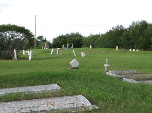
Close-up of burial markers in cemetery, 2005.
Photo: City of Saskatoon, Kathy Szalasznyj, 2005.
- Recognized
- 1982
- By
- Local government
The register’s text, word for word
Description
The Pioneer Cemetery or Nutana Cemetery is a Municipal Heritage Property located on the high east bank of the South Saskatchewan River in the Exhibition area of Saskatoon. The cemetery covers 5.6 hectares, consisting of grass-covered interment areas marked by a cairn, tombstones, natural vegetation, footpaths and a scattered planting of trees.
Heritage value
The heritage value of the Pioneer Cemetery or the Nutana Cemetery lies in its association with the early settlers of Saskatoon. A central cairn honours this resting spot of persons who succumbed to prairie hazards such as prairie fire and snowstorms, as well as casualties of the Riel Resistance. The Clark, Trounce, Fletcher and Caswell surnames are among the notable pioneer Saskatoon families represented on inscribed tombstones. With the first interment occurring in the spring of 1884, the cemetery was the community’s first and for two decades, only cemetery. While the exact number of interments is not known, 162 interments in total have been documented.
Heritage value also resides in the landscape design of the Pioneer Cemetery. Located far beyond the original Temperance Colony settlement, its location was chosen for its dramatic and placid river view. Except for changes caused by river erosion, the cemetery is one of the last remnants of natural prairie landscape within the boundaries of the city.
Source:
City of Saskatoon Bylaw No. 6210.
Character‑defining elements
The heritage value of the Pioneer Cemetery or the Nutana Cemetery resides in the following character-defining elements:
- its built features, particularly the cairn and the tombstones marking interments;
-those elements that speak to its original design, such as its natural grass cover, footpaths, and planting of trees;
-those elements that speak to the original landscape concept, such as the open view of the river valley on its west.
End of the register’s text
Location
Ruth Street West and St. Henry Avenue, Saskatoon, Saskatchewan, S7M, Canada
52.10047° N, 106.68362° W
Get directions (opens in a new tab)Being on the register doesn’t make a place open to visitors. Many are private homes or businesses; please view them from the street.

Loading map…
Similar places
Places whose register descriptions are closest to this one.
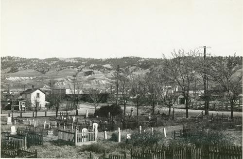 Pioneer CemeteryKamloops, British Columbia
 Taylorton CemeteryCoalfields RM 4, Saskatchewan
 Canadian Pacific Railway StationSaskatoon, Saskatchewan
 Niska SiteAuvergne RM 76, Saskatchewan
 St. Paul's Lindsay CemeteryPrince Albert RM 461, Saskatchewan
 St. Catherine's Anglican CemeteryPrince Albert RM 461, Saskatchewan
From the Canadian Register of Historic Places, as last updated on December 12, 2025. The register’s text is shown word for word.