Municipal Heritage Property
St. Catherine's Anglican Cemetery
Prince Albert RM 461, Saskatchewan
Also known as St. Catherine's Anglican Church
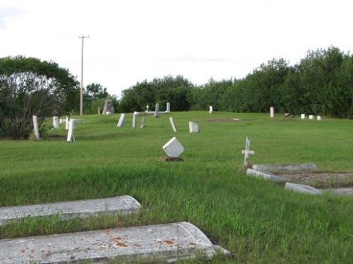
View of cemetery, with commemorative cairn in background, 2009.
Photo: Ross Herrington, 2009.
- Recognized
- 2007
- By
- Local government
The register’s text, word for word
Description
St. Catherine’s Anglican Cemetery is a Municipal Heritage Property located in the Rural Municipality of Prince Albert No. 461, approximately seven kilometres west of the City of Prince Albert along Highway 302. Occupying a wooded knoll, the property features an active cemetery, dating from 1877.
Heritage value
The heritage value of St. Catherine’s Anglican Cemetery resides in its association with early English Métis settlers in the Prince Albert area. The English Métis communities originated in the 1860s with the founding of the Isbister Settlement immediately west of the present city of Prince Albert. The community was named for James Isbister, an English Métis who freighted for the Hudson’s Bay Company at Fort Carlton in the 1850s, but had settled in this area by 1860. The Isbister Settlement became the nucleus for other English Métis who migrated from the Red River Settlement area of Manitoba following the Riel resistance of 1869-70. St. Catherine’s Anglican Church, which occupied two separate buildings on this property between 1877 and 1988, became a hub of activity in the community and is commemorated by a cairn featuring the remains of the original bell. The associated cemetery serves as the final resting place of many of the early Isbister Settlement pioneers.
Source:
Rural Municipality of Prince Albert No. 461 Bylaw No. 4 of 2007.
Character‑defining elements
The heritage value of St. Catherine’s Anglican Cemetery lies in the following character-defining elements:
-those elements that reflect the cemetery’s association with the early settlers, including the rows of grave markers, the stone cairn with brass plaque and the remains of the original church bell.
End of the register’s text
Location
Prince Albert RM 461, Saskatchewan, Canada
53.15310° N, 105.91590° W
Get directions (opens in a new tab)Being on the register doesn’t make a place open to visitors. Many are private homes or businesses; please view them from the street.

Loading map…
 Vintage Power Machines7.3 km · 1901
 North Field Tower7.4 km · Prince Albert · 1926
 Prince Albert Penitentiary, Southern Tower D-27.6 km · Prince Albert · 1922
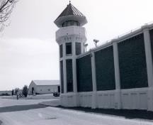 Southern Tower D-38.1 km · Prince Albert · 1922
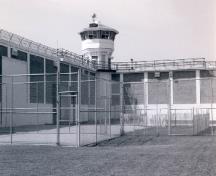 Prince Albert Penitentiary, Northern Tower D-48.4 km · Prince Albert · 1922
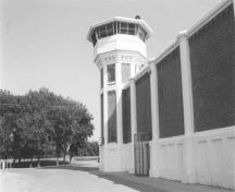 Prince Albert Penitentiary, Northern Tower D-18.6 km · Prince Albert · 1922
Similar places
Places whose register descriptions are closest to this one.
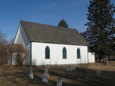 St. Mary's Anglican Church and CemeteryPrince Albert RM 461, Saskatchewan
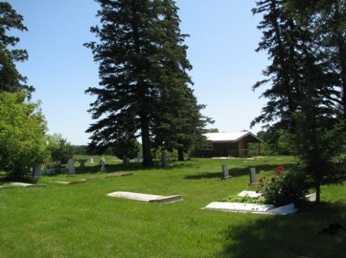 St. Paul's Lindsay CemeteryPrince Albert RM 461, Saskatchewan
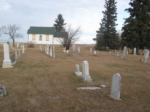 St. Andrew's (Halcro) Anglican Church and CemeteryPrince Albert RM 461, Saskatchewan
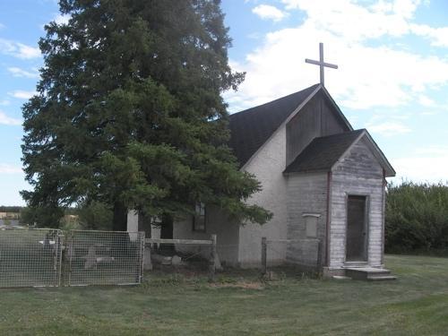 Anglican ChurchBattle River RM 438, Saskatchewan
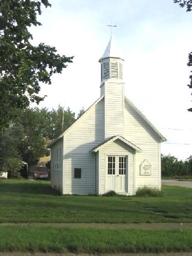 The Anglican Church PropertyCabri, Saskatchewan
 St. David's Anglican Church and Cemetery at St. CyrMeadow Lake RM 588, Saskatchewan
From the Canadian Register of Historic Places, as last updated on December 12, 2025. The register’s text is shown word for word.