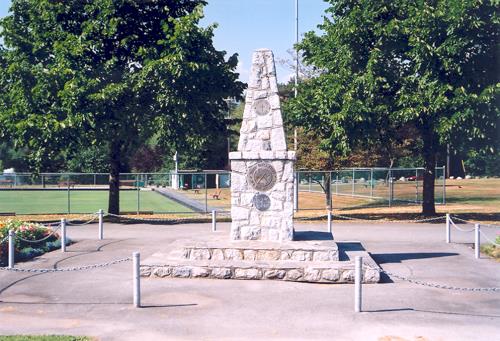
North Burnaby Cenotaph, 2003
Photo: City of Burnaby, 2003
- Built
- 1953
- Recognized
- 1992
- By
- Local government
The register’s text, word for word
Description
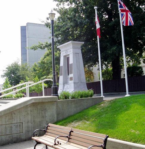
The North Burnaby Cenotaph is located in Confederation Park at the north end of the park on axis with the adjacent sports oval. The form of the memorial is of an obelisk atop a solid rectangular base, adorned with plaques commemorating those lost in the First World War, Second World War and the Korean War.
Heritage value
Built in 1953 by stonemason and First World War veteran Walter Holmes Morrice, the cenotaph was erected by the North Burnaby Legion Post No.148 and is one of four memorials to citizens of Burnaby whose lives were lost at war.
Strategically placed in an active and vibrant public park that was dedicated in 1927 and is used for sports, family outings and social gatherings, the cenotaph celebrates the freedoms that soldiers gave their lives to protect. The cenotaph is still used as a memorial site and bears witness to annual Remembrance Day ceremonies.
Built of irregular granite blocks, the cenotaph is a solid structure of modest ornamentation that visually anchors the north end of the park. The site of the cenotaph and its adjacent gardens are surrounded by a simple barrier of continuous chain supported by low metal fence posts, providing a sense of solemnity and ceremony to the site.
SourceHeritage Site Files: PC77000 20. City of Burnaby Planning and Building Department
Character‑defining elements
The character defining elements of the North Burnaby Cenotaph include its:
- axial location in the park and setting among active municipal facilities such as a school and library
- strong symmetry of massing and design
- obelisk form set atop a rectangular base
- limited palette of materials
- random coursed granite used as primary building material
- bronze plaques commemorating the First and Second World Wars and the Korean War
- surrounding pathways and flowerbeds
End of the register’s text
Location
250 Willingdon Avenue, Burnaby, British Columbia, Canada
49.28478° N, 123.00033° W
Get directions (opens in a new tab)Being on the register doesn’t make a place open to visitors. Many are private homes or businesses; please view them from the street.

Loading map…
Nearby
All 44 places in Burnaby
Similar places
Places whose register descriptions are closest to this one.
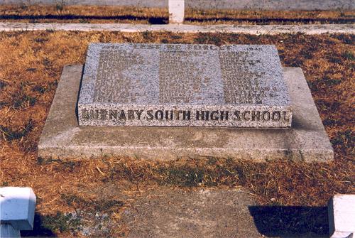 Burnaby South High School Cenotaph and Memorial Tennis CourtsBurnaby, British Columbia
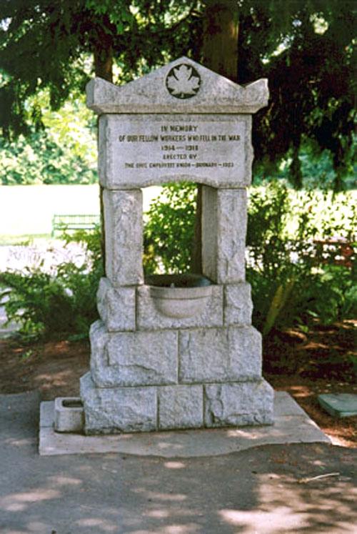 Burnaby Civic Employees Union Memorial FountainBurnaby, British Columbia
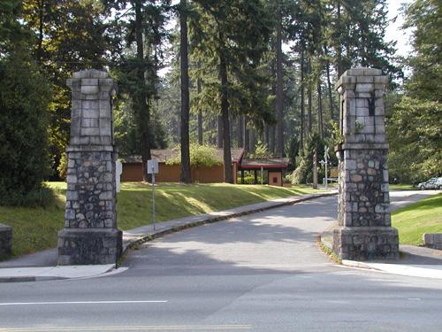 Central Park GateBurnaby, British Columbia
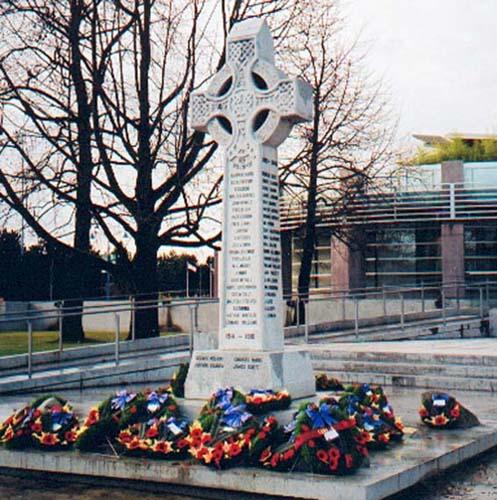 Richmond CenotaphRichmond, British Columbia
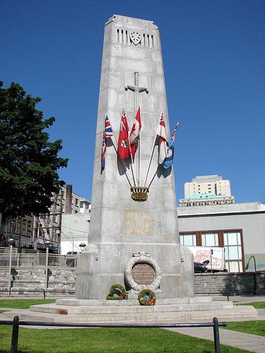 Victory Square ParkVancouver, British Columbia
 Dallas Square CenotaphNanaimo, British Columbia
From the Canadian Register of Historic Places, as last updated on December 12, 2025. The register’s text is shown word for word.