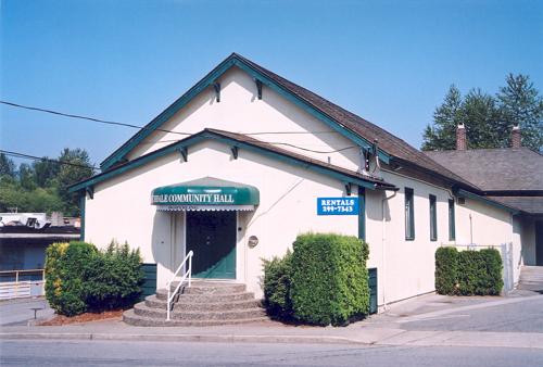
Front elevation of Lochdale Community Hall, 2003
Photo: City of Burnaby, 2003
- Built
- 1925
- Recognized
- 1992
- By
- Local government
The register’s text, word for word
Description
The Lochdale Community Hall is a one storey, wood frame building located on Sperling Avenue, near its intersection with Hastings Street, in the centre of the Lochdale district in North Burnaby. Built in stages, its current configuration has an L-shaped plan, with three different roof structures. The historic place is confined to the footprint of the building.
Heritage value
The heritage value of the Lochdale Community Hall is as Burnaby's last remaining early community hall building. It was constructed with volunteer labour and donated materials in 1925 through the efforts of the Lochdale Social Club. The Hall is a valuable reminder of the way in which early communities banded together for mutual support at a time when transportation was more difficult and local communities were more isolated than today.
This residents' association has used this building to support the community through public political meetings, theatre, dinners and dances, creating strong community ties in North Burnaby. The Hall was also used briefly for the services of St. Margaret of Scotland Anglican parish until their church was completed in 1929, demonstrating a spirit of community cooperation at a time when local institutions were being established in the area.
SourceHeritage Site Files: PC77000 20. City of Burnaby Planning and Building Department, 4949 Canada Way, Burnaby, B.C., V5G 1M2.
Character‑defining elements
Key elements that define the heritage character of the Lochdale Community Hall include its:
- central location in the Lochdale community
- modest vernacular architecture and massing
- stepped pitch gable roof of the main hall
- shallow pitched gable roof of the entrance porch
- Craftsman style eave brackets
- central front entry
- interior features such as the main open hall with an elevated stage
End of the register’s text
Location
490 Sperling Avenue, Burnaby, British Columbia, V5B, Canada
49.27976° N, 122.96429° W
Get directions (opens in a new tab)Being on the register doesn’t make a place open to visitors. Many are private homes or businesses; please view them from the street.

Loading map…
Nearby
All 44 places in Burnaby
Similar places
Places whose register descriptions are closest to this one.
 Willoughby Community HallTownship of Langley, British Columbia
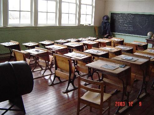 Lochiel SchoolLangley District, British Columbia
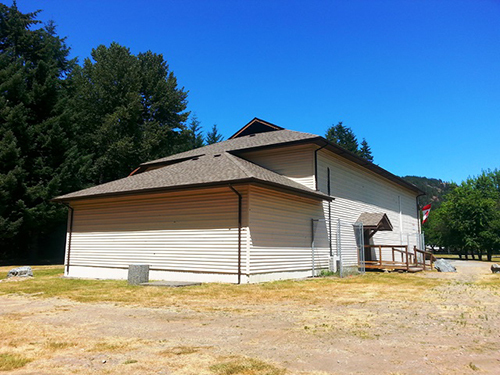 Mesachie Lake HallMesachie Lake, British Columbia
- Hornby Island Community HallHornby Island, British Columbia
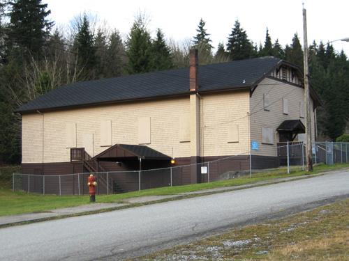 Ioco Community HallPort Moody, British Columbia
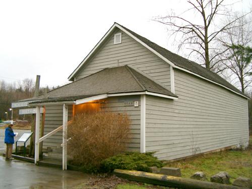 Tynehead Community HallSurrey, British Columbia
From the Canadian Register of Historic Places, as last updated on December 12, 2025. The register’s text is shown word for word.