National Historic Site of Canada
Île-Verte Lighthouse National Historic Site of Canada
Notre-Dame-des-Sept-Douleurs, Quebec
Also known as Île Verte Lighthouse, Phare de l'île Verte
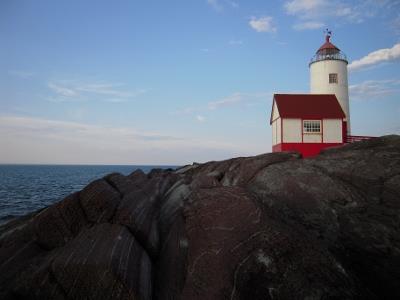
View of Île Verte lighthouse and the fog horn building on the flat rocky terrain
Photo: Agence Parcs Canada | Parks Canada Agency, Valérie Busque, 2009.
- Built
- 1806–1809
- Recognized
- 1974
- By
- Government of Canada
The register’s text, word for word
Description
Île-Verte Lighthouse National Historic Site of Canada is an attractive 12 metre high cylindrical stone lighthouse, with an octagonal painted metal lamp, situated on an island in the St. Lawrence River opposite the mouth of the Saguenay River. Its isolated setting contains not only the tower, but a lightkeeper’s residence, a fog horn building, an oil shed and a small powder magazine. The designated place is defined as the legal property boundary at the time of designation.
Heritage value
Île Verte Lighthouse was designated a National Historic Site of Canada in 1974 because:
- built in 1809, this lighthouse was the first navigation aid on the St. Lawrence;
- third oldest lighthouse in the country, the circular form and height of its stone tower are virtually intact.
The heritage value of the Île Verte Lighthouse lies in its age and its high level of architectural conservation. Construction of Île Verte Lighthouse was approved in 1806 and completed in 1809. The tower was designed and built by Edward Cannon, master mason of the city of Québec. Its purpose was to guide ships in the dangerous waters and currents of the St. Lawrence River at the mouth of the Saguenay River. For 137 years, from 1827 to 1964, this lighthouse was operated by four generations of the Lindsay family. The only alterations to the building have been the application of wood siding over the rubblestone walls (initially in the form of clapboard in the 1850-1870 period, then later as vertical siding), replacement of the original light with an automated one in 1969, and replacement of original windows, inner ground floor door, facing and metal hoops by the Canadian Coast Guard during restoration in 1983.
SourceHistoric Sites and Monuments Board of Canada, Minutes, May 1974.
Character‑defining elements
Key elements contributing to the heritage value of this site include:
- the location on the St. Lawrence River near the mouth of the Saguenay River;
- the tower’s high level of architectural conservation;
- its continuing operation as a light tower;
- its sturdy 12 metre high massing and slightly tapered 4-storey circular tower form with a single-storey attached shed entrance, and a tower cap with a octagonal lantern under a domed roof;
- evidence of the functionally driven design, including the sparse articulation with three square windows set in a vertical line on the tower and the flat cap on the tower providing a platform for the light;
- the quality of the workmanship and materials, particularly the workmanship of the coursed rubblestone with smoothed exterior walls, the wood siding, the metal of the early lantern and its housing, the oak planking of the light platform with its copper cover, the building’s brick interior walls, the protective tin sheeting on interior beams and exterior door of the tower, cupboards, staircases and floors of the building interior;
- the surviving glass of the early lantern, evidence of hand-operated light technology, apparatus, and evolution of their use at the station;
- the spatial relationship of the lighthouse to the other buildings on the site, namely the powder magazine, fog horn building, oil shed and keeper’s house;
- archaeological evidence of previous spatial and functional relationships of the current and former buildings on the lighthouse site (i.e. the site of the former repair shop, barn, large powder magazine and initial keeper’s residence);
- the flat rock and scrub terrain of the lighthouse site;
- the viewplanes from the lighthouse over the St. Lawrence and Saguenay Rivers and the span of the arc of the light over the water.
End of the register’s text
Location
2802 du Phare Road, Notre-Dame-des-Sept-Douleurs, Quebec, G0L, Canada
48.05110° N, 69.42420° W
Get directions (opens in a new tab)Being on the register doesn’t make a place open to visitors. Many are private homes or businesses; please view them from the street.

Loading map…
Similar places
Places whose register descriptions are closest to this one.
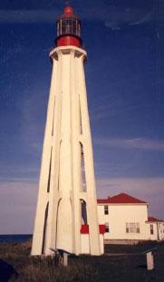 Pointe-au-Père Lighthouse National Historic Site of CanadaPointe-au-Père, Quebec
 LighthouseÎle-Rouge, Quebec
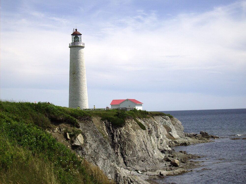 EnhancedCap-des-Rosiers Lighthouse National Historic Site of CanadaGaspé, Quebec
 Île du Pot à l'Eau-de-Vie LighthouseSaint-André-de-Kamouraska, Quebec
 Cape Pine Lighthouse National Historic Site of CanadaCape Pine, Newfoundland And Labrador
 Pilier de Pierre LighthouseSaint-Jean-Port-Joli, Quebec
From the Canadian Register of Historic Places, as last updated on December 12, 2025. The register’s text is shown word for word.