National Historic Site of Canada
Brooks Aqueduct National Historic Site of Canada
Brooks, Alberta
Also known as Brooks Aqueduct, Aqueduc de Brooks
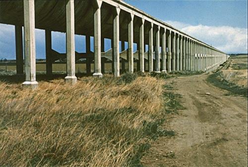
General view of Brooks Aqueduct, showing the flume and columns.
Photo: Parks Canada Agency / Agence Parcs Canada.
- Built
- 1912–1914
- Recognized
- 1983
- By
- Government of Canada
The register’s text, word for word
Description
The Brooks Aqueduct National Historic Site of Canada is located in a shallow valley, five kilometres southeast of Brooks, Alberta. The Brooks Aqueduct is an impressive reinforced concrete structure over 3.1 kilometres in length featuring a large flume mounted on 20-metre high columns. The site also includes an inverted siphon, now filled to ground level with lean concrete, that carried water under the Canadian Pacific Railway (CPR) main line. Built by the CPR between 1912 and 1914 and originally used to bring irrigation waters to semi-arid soils, the reinforced concrete aqueduct is no longer in use. Official recognition refers to the footprint of the aqueduct, including its columns and inverted siphon.
Heritage value
The Brooks Aqueduct was designated a national historic site of Canada in 1983 because:
- constructed between 1912 and 1914 it was a major engineering feat, a reinforced concrete aqueduct over 3.1 kilometers in length featuring a catenary-shaped flume mounted on 1,030 columns, and an inverted siphon under the CPR main line.
The Brooks Aqueduct was constructed by the Canadian Pacific Railway (CPR) between 1912 and 1914 as part of an extensive irrigation project intended to make land in the south-eastern region of Alberta suitable for farming. The aqueduct transported water from Lake Newell and the Bow River across a shallow valley running north to south in order to facilitate the irrigation of 55,000 hectares of land in the area east of Brooks. The structure was a major engineering achievement, and features a catenary-shaped flume mounted on 1,030 columns, and an inverted siphon to carry water under the CPR main line. When the Brooks Aqueduct was completed in 1914, it was the largest aqueduct of its type in the world, reaching over 3.1 kilometres in length. Stresses on the concrete from the freeze-thaw cycle, however, caused a deterioration of the aqueduct, which required annual repairs. In 1979, sixty-five years after its inauguration, a more efficient and larger capacity canal replaced the aqueduct.
SourceHistoric Sites and Monuments Board of Canada, Minutes, November 1983, September 2009; plaque text, 1989.
Character‑defining elements
Key elements that contribute to the heritage character of the site include:
- its location five kilometres south-east of Brooks, Alberta;
- its setting within a shallow, 3.1-kilometer wide valley;
- the catenary-shaped form of the flume set upon 1,030 20-metre high columns resting on pedestals sunk two metres into the ground, all constructed of reinforced concrete;
- the inverted siphon under the CPR main line in its reinforced concrete construction;
- any remaining elements of the inlet and outlet structures or interpretive buildings related to the Brooks Aqueduct within the designated place;
- viewscapes to and from the site across the shallow valley.
End of the register’s text
Location
off the Trans-Canada Highway, Brooks, Alberta, Canada
50.53182° N, 111.83815° W
Get directions (opens in a new tab)Being on the register doesn’t make a place open to visitors. Many are private homes or businesses; please view them from the street.

Loading map…
Nearby
All 3 places in Brooks
Similar places
Places whose register descriptions are closest to this one.
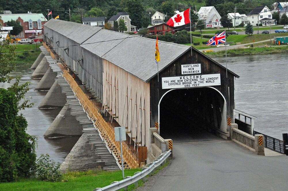 EnhancedHartland Covered Bridge National Historic Site of CanadaHartland, New Brunswick
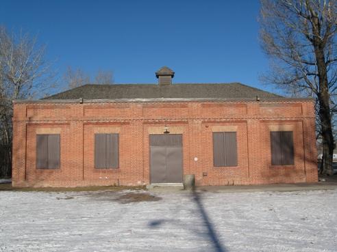 Bow River Pumphouse No. 2 (Pumphouse Theatre)Calgary, Alberta
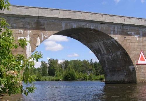 Canal Lake Concrete Arch Bridge National Historic Site of CanadaKawartha Lakes, Ontario
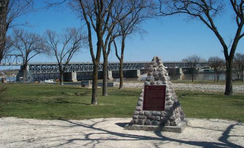 St. Andrews Caméré Curtain Bridge Dam National Historic Site of CanadaLockport, Manitoba
- AquacourtKootenay National Park of Canada, British Columbia
 Beauharnois Power Development National Historic Site of CanadaBeauharnois, Quebec
From the Canadian Register of Historic Places, as last updated on December 12, 2025. The register’s text is shown word for word.