Provincial Historic Resource
Frank Slide
Near Crowsnest Pass - Frank, Alberta
Also known as Great Rock Slide, Turtle Mountain Slide, Frank Townsite
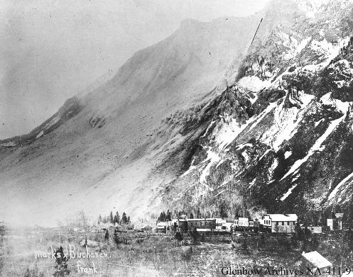
Frank Slide Provincial Historic Resource (1903)
Photo: Glenbow Archives, NA-411-9
- Recognized
- 1977
- By
- Province of Alberta
The register’s text, word for word
Description
The Frank Slide is a cultural landscape encompassing roughly 508 hectares between the towns of Frank and Bellevue. It includes the extensive field of boulder debris from the 1903 rock slide, a lone surviving fire hydrant from the town of Frank destroyed in the slide, and three lime kilns.
Heritage value
Frank Slide is significant as the site of the worst natural disaster in Alberta's history, as a geological phenomenon which may still yield significant scientific information, and as a provincial landmark.
On April 29, 1903, the east face of Turtle Mountain fell way into the Crowsnest River valley. In the course of one hundred seconds the mountain face toppled and slid four kilometres across the valley, rising to 152 metres above the valley floor on the other side. The slide buried the southern end of the town of Frank, the Canadian Pacific Railroad (CPR) through the Pass, and the mine plant of the Canadian-American Coal Company, killing seventy people. Seventeen miners trapped inside the mountain managed to rescue themselves by tunneling upwards to the surface. The primary cause of the Frank Slide was the mountain's unstable structure, though underground mining, water action in summit cracks and severe weather conditions may have contributed to the disaster.
The scale of the disaster and concern over the mountain's instability provoked unprecedented government action, including a 1911 Royal Commission and a decision by the provincial government to close coal mining operations in the mountain. However, the rock proved useful for railway maintenance across the prairies and for the production of lime. The Winnipeg Fuel and Supply Company operated lime kilns here until 1923.
The second largest catastrophic slide in Canadian history and one of the twenty largest slides in the world, the Frank Slide is one of the most impressive and best known natural phenomena in Alberta. It made an important contribution to geological science, because the size of the slide and a lack of vegetation made it one of the first to receive detailed geological study.
SourceAlberta Culture and Community Spirit, Historic Resources Management Branch (File: Des. 685)
Character‑defining elements
Physical characteristics of the "debris field"
- extent and depth (volume) of the fan of rock debris, which are indicative of the magnitude of the event both as a natural occurrence and human disaster;
- distribution of the debris potentially revealing into the dynamics of large-scale rockslides as geological events;
- composition (limestone) and structure (jointing and bedding) of the rock, which speaks to the geology of the area and inherent weaknesses in the mountain that contributed to the slide;
- massiveness of individual boulders, which viscerally convey the sheer scale of the event and the devastation it wrought;
- vegetation patterns on the fringes of the debris field, which tell a story of environmental impact and recovery.
Frank townsite
- depressions marking locations of former buildings;
- street alignments of the former town of Frank (now Frank Industrial Park);
- cast iron fire hydrant.
Transportation corridors
- old road(s) and alignments that reflect the disruption resulting from the slide.
Three limestone kilns
- mass and form of these tall masonry structures, rectangular in plan and tapering toward the top;
- cast-in-place, board-formed concrete construction of the two east kilns;
- rubble stone construction of the west kiln;
- sloped retaining wall of kiln loading platform retaining wall of cast concrete with parging and brush-applied limewash;
- brick-lined oven doorways at south base of kilns;
- vestiges of rail spur from main line to kilns, including roadbed aligned with kilns and defined by embankment with a limestone rubble retaining wall;
- visual association with slide scarp on Turtle Mountain directly to the west;
- roads or paths used to transport limestone from the slide to the kilns for processing.
Views
- view of Turtle Mountain and the slide as seen from the old road
- visual and spatial association of the slide, Frank townsite, and transportation corridors.
End of the register’s text
Location
Near Crowsnest Pass - Frank, Alberta, T0K, Canada
49.59517° N, 114.39720° W
Get directions (opens in a new tab)Being on the register doesn’t make a place open to visitors. Many are private homes or businesses; please view them from the street.

Loading map…
Nearby
 Old Hillcrest Cemetery2.5 km · near Crowsnest Pass - Hillcrest
 Blairmore Courthouse2.8 km · Municipality of Crowsnest Pass · 1923
 West Canadian Collieries Mine3.1 km · Near Crowsnest Pass - Bellevue · 1903
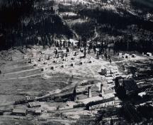 Village of Lille6.3 km · Near Crowsnest Pass · 1903
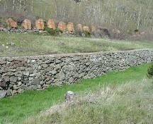 Leitch (Passburg) Collieries6.8 km · near Burmis · 1906
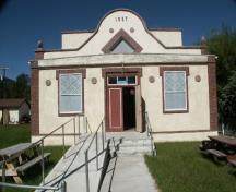 Crowsnest Pass Polish Hall8.3 km · Crowsnest Pass - Coleman · 1927
Similar places
Places whose register descriptions are closest to this one.
 Atlantic No. 3 Wild Well Sitenear Devon, Alberta
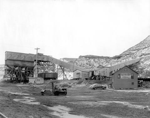 Atlas Coal Minenear East Coulee, Alberta
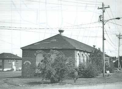 Springhill Coal Mining National Historic Site of CanadaSpringhill, Nova Scotia
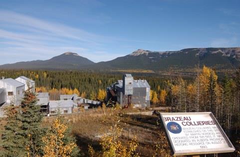 Nordegg / Brazeau Collieries MinesiteNordegg, Alberta
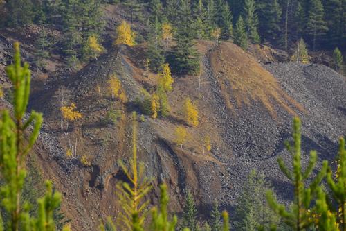 Red Mountain Mining SiteRossland, British Columbia
 Albert Mines SiteHillsborough (Parish), New Brunswick
From the Canadian Register of Historic Places, as last updated on December 12, 2025. The register’s text is shown word for word.