Provincial Historic Resource
Atlantic No. 3 Wild Well Site
near Devon, Alberta
Also known as Atlantic 1948 No. 3
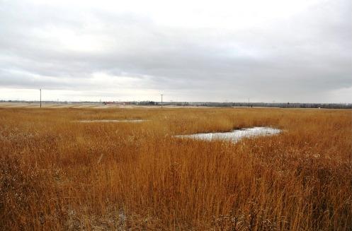
Atlantic No. 3 Wild Well Site, near Devon (December 2005)
Photo: Alberta Culture and Community Spirit, Historic Resources Management Branch, 2005
- Recognized
- 2007
- By
- Province of Alberta
The register’s text, word for word
Description
The Atlantic No. 3 Wild Well Site is a 23.1 hectare parcel of land composed of dormant fields seeded to grass located two kilometres southeast of the Town of Devon. The scars of Alberta's greatest oilfield disaster are still evident in the bald patches in the seeded field. The site maintains its historic relation with the nearby Leduc No. 1 Discovery Well and adjacent farm lands.
Heritage value
The heritage value of the Atlantic No. 3 Wild Well Site lies in its identity as the location of Alberta's most dramatic oilfield disaster. This disaster garnered worldwide interest and led to subsequent investment in the province's petroleum industry. It also resulted in enhanced regulatory standards and the development of new safety technology and well-control training.
1947 and 1948 were banner years for the oil and gas industry in Alberta. The blowing-in of Imperial Oil Well No. 1 (also known as Leduc No. 1) near Devon sparked interest in the province as a source of oil. Several other significant strikes established Alberta as Canada's leading petroleum producer. On January 15, 1948 drilling proved successful at tycoon Frank MacMahon's Atlantic No. 3 well, situated within sight of Leduc No. 1. Oil gushed out of the ground to a height of 150 feet. It was pressured by an estimated 15 million cubic feet per day flow. Such enormous pressure, unregulated by blow-out precautions, led on March 15 to the fracturing of the surrounding area. Natural gas and oil began to escape over a wide radius, causing serious concern and the implementation of emergency measures. On May 15, 1948 the Petroleum and Gas Conservation Board, through an Order-in-Council, took control of the well. Between March and September, over a million barrels of oil were recovered from Atlantic No. 3.
The well ran wild until September 6, when a spark from an unknown source ignited a massive conflagration. Flames leapt more than one hundred feet in the air and billows of acrid smoke could be seen for more than one hundred miles, while the whole atmosphere around most of Alberta was perceptibly darkened. Through the intervention of famous well control specialists Myron Kinley and Red Adair, the blaze was quelled by November, 1948. Major news services reported the story worldwide, and film footage from the Atlantic No. 3 Wild Well Site blaze was featured on the Movietone News in theatres. To the delight of industry leaders, this publicity conveyed the news of Alberta's extensive petroleum resources to the world market and brought international money into Alberta to finance the rapidly expanding oil industry.
After the disaster at the Atlantic No. 3 Wild Well Site, enhanced regulatory standards were mandated and initiated by the petroleum industry in Alberta. The Petroleum and Gas Conservation Board, administered by the Government of Alberta, required that the standards for blow-out prevention be upgraded and that surface casing requirements be sufficient to withstand extremely high pressures. Since the disaster, limited crop development has taken place on the Atlantic No. 3 Wild Well Site. Environmental studies have been undertaken to assess and quantify the effects of the disaster on the area's soil, and have gleaned important information for subsequent rehabilitation of other areas impacted by petroleum-related accidents. The site continues to yield scientific information.
SourceAlberta Culture and Community Spirit, Historic Resources Management Branch (File: Des. 2165)
Character‑defining elements
The character-defining elements of the Atlantic No. 3 Wild Well Site include such elements pertaining to the relevant historic event as:
- the relative vacancy of the whole site, in particular the area surrounding the bore hole;
- the dormant surrounding fields seeded to grass;
- the unobstructed view planes from the site, especially to the west, toward the site of Leduc No. 1.
End of the register’s text
Location
near Devon, Alberta, T0C, Canada
53.33221° N, 113.70411° W
Get directions (opens in a new tab)Being on the register doesn’t make a place open to visitors. Many are private homes or businesses; please view them from the street.

Loading map…
Nearby
 Leduc-Woodbend Oilfield National Historic Site of Canada1.7 km · Leduc
 Leduc No. 1 Discovery Well1.7 km · 1947
 Alberta Wheat Pool Grain Elevator Site Complex13 km · Leduc · 1978
 Dr. Woods House13 km · Leduc · 1927
 Dr. Terwillegar's Residence22 km · Edmonton · 1912
 William Wood Residence24 km · Edmonton · 1912
Similar places
Places whose register descriptions are closest to this one.
 Atlas No. 3 Coal Mine National Historic Site of CanadaEast Coulee, Alberta
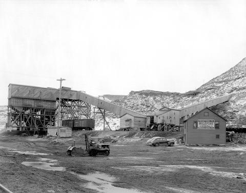 Atlas Coal Minenear East Coulee, Alberta
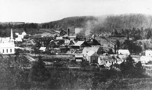 Albert Mines SiteHillsborough (Parish), New Brunswick
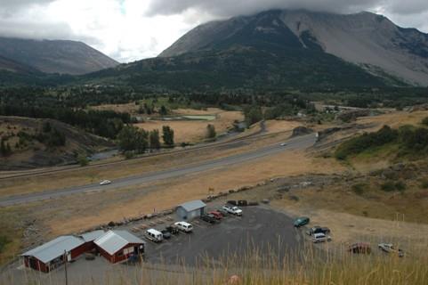 West Canadian Collieries MineNear Crowsnest Pass - Bellevue, Alberta
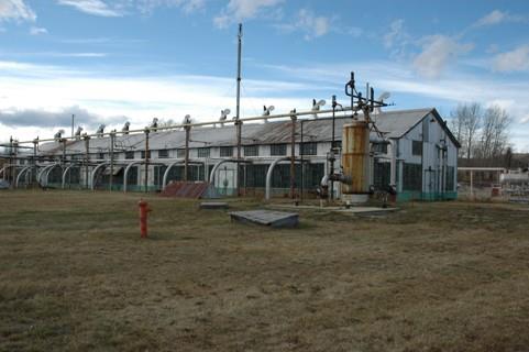 Turner Valley Gas WorksNear Turner Valley, Alberta
 Bitumount Sitenear Fort McMurray, Alberta
From the Canadian Register of Historic Places, as last updated on December 12, 2025. The register’s text is shown word for word.