Parc provincial (établissement)
Royal Engineers' Road at Alexandra Bridge
Spuzzum, Colombie Britannique
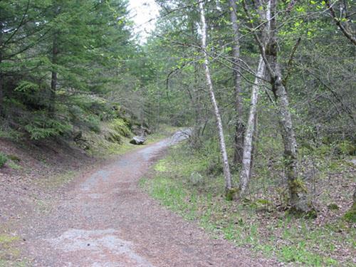
Photo: Ministry of Environment, BC Parks, 2010
- Reconnaissance
- 1984
- Par
- Province de la Colombie-Britannique
Le texte du répertoire, mot pour mot
Description
The Royal Engineers' Road exists as portions of a hiking trail that leads down a switchback trail and across the Canadian National Railway tracks to the site of the 1926 Alexandra bridge spanning the Fraser River. The historic place is located in Alexandra Bridge Provincial Park, 22 kilometres north of Yale in British Columbia’s Fraser Canyon.
Valeur patrimoniale
The Royal Engineers' Road is significant for its historical, cultural, and material values, particularly for its historical role as a Hudson's Bay Company trading route and later the Cariboo Road, which was instrumental in accessing the Fraser River and Cariboo goldfields and opening up the interior of British Columbia. It is important as part of a series of trails that were intended to link Fort Langley with the interior of British Columbia after the loss of the southern route through part of the United States in the wake of the Oregon Treaty of 1846.
The Royal Engineers' Road at Alexandra Bridge is a rare surviving example of the physical infrastructure specified by the Royal Engineers, particularly its specifications for maximum grade and width. It is also important temporally, as the original trail became part of the Cariboo Wagon Road, and later, the 1926 highway which connected with the Alexandra Bridge on both the east and west sides of the Fraser River. The trail has historical associations with the bridge crossings at this location in the Fraser Canyon, including an early rope bridge, and both Alexandra bridges.
As an engineering feature, the trail is valued for its design, slope and alignment, a response to the steepness of the Fraser Canyon at this point combined with a need to preserve a traversable grade. It is also important for the landscape manipulation and dry rock, and later, concrete retaining structures required to create and maintain the trail grade.
The road is culturally significant for its association with the British Colonial Office's Columbia Detachment of the Royal Engineers, who made the first post-contact attempt to establish a land route through the Fraser Canyon.
The trail has important recreational value as part of a scenic walking route based on early trails and roadway, and as part of future trail networks in the region.
SourceMinistry of Environment, BC Parks
Éléments caractéristiques
Key character-defining elements of the Royal Engineers' Road include:
-remains of the road in its original alignment
-the switchbacks and winding nature of the road
-the steep canyon location
-the overgrown nature of the current road
-trail form, including the original width and associated earthworks and retaining structures used to create the standard roadbed
-use of the road as a recreational trail
-associated place names such as 'Hudson's Bay Company Brigade Trail' and 'Cariboo Wagon Road'
Fin du texte du répertoire
Emplacement
49.70714° N, 121.41426° W
Itinéraire (s’ouvre dans un nouvel onglet)L’inscription au répertoire ne rend pas un lieu accessible au public. Beaucoup sont des résidences ou des commerces privés; admirez-les depuis la rue.

Chargement de la carte…
À proximité
Les 3 lieux de Spuzzum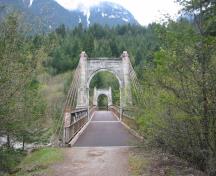

Lieux semblables
Les lieux dont la description du répertoire se rapproche le plus de celle-ci.
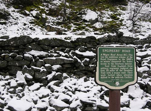 Dewdney Trail (Manning Park Sections)Hope, Colombie Britannique
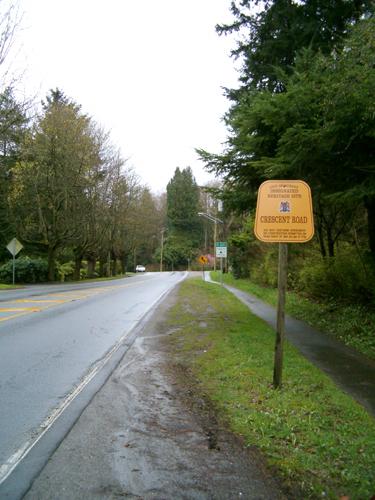 Crescent RoadSurrey, Colombie Britannique
 Fourth Street Brick RoadNew Westminster, Colombie Britannique
- Old Enderby RoadSalmon Arm, Colombie Britannique
 Old Skeena BridgeTerrace, Colombie Britannique
 Yukon Telegraph Trailnear Telegraph Creek, Colombie Britannique
Tiré du Répertoire canadien des lieux patrimoniaux, dans sa dernière mise à jour du 12 décembre 2025. Le texte du répertoire est reproduit mot pour mot.