Old Enderby Road
Description
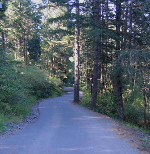
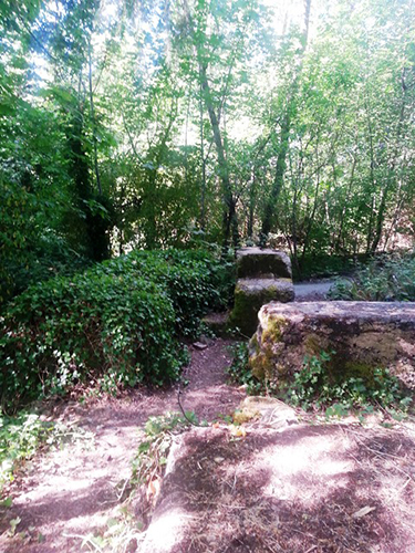
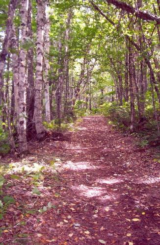
The Old Enderby Road is a section of a "Wagon Road" that connected early settlers to the community of Enderby, Salmon Arm, British Columbia. Once leading to Gardner's Lake, the road is located within the buffering zone of the Helenita Harvey Nature Trail at R.J. Haney Heritage Village. Old Enderby Road consists of a clearing of 49.8 metres of roadway nestled in a forested area and can be viewed by walking on the south easterly portion of the Helenita Harvey Nature Trail. The roadway is approximately 4.6 metres wide. It is 319 metres from the centre of 10th Ave N.E. and corresponds to the survey notes obtained by BC Land Surveyor Joe Johnson.
Valeur patrimoniale
The Old Enderby Road is valued for its historical, cultural, and aesthetic significance.
Old Enderby Road is valued for its historical association with settlers who voluntarily built and maintained the road from John A. Nelson's property to Gardner's Lake. The list of participating settlers is not conclusive but included Fred A. and William McLeod, David S. Mitchell, Dan Stewart, John Lund, Dean Barrett, C. MacVicar, and John D. McGuire. The road is also valued for its association with the City of Enderby and the impressive five-storey Columbia Flouring Mill. Early settler J.D. McGuire recalled that to fetch flour from Enderby, he would start with a wagon and team at 4 a.m. and not get back until late at night.
Old Enderby Road is culturally important as a transportation route, demonstrating how settlers traveled overland in place of water transportation. It is considered to be one of the few recognized, publicly accessible remnants of an early, non-gazetted road in Salmon Arm. The road fell into disuse when it was replaced by the Okanagan Highway.
The Old Enderby Road is valued for its aesthetics as part of the Shuswap Trail Alliance's trail system throughout Salmon Arm. The human made corridor provides habitat to a variety of Indigenous plants and fauna. It is flanked by a relatively new forest. The road has been enveloped in a recreational trail that provides park visitors with a space to appreciate the forest that has grown since a fire swept the area prior to when it was surveyed by J.D.A. Fitzpatrick in 1893.
Éléments caractéristiques
The Character-Defining Elements of this historic place include the:
- Proximity to Highway 97B which replaced the "Wagon Road"
- Sense of enclosure provided by flora and trees along the road
- Natural setting
Location
Loading map...
Lieux similaires
Sites patrimoniaux avec des caractéristiques semblables