Répertoire du patrimoine communautaire
Provincial Government Mine Rescue Station
Nanaimo, Colombie Britannique
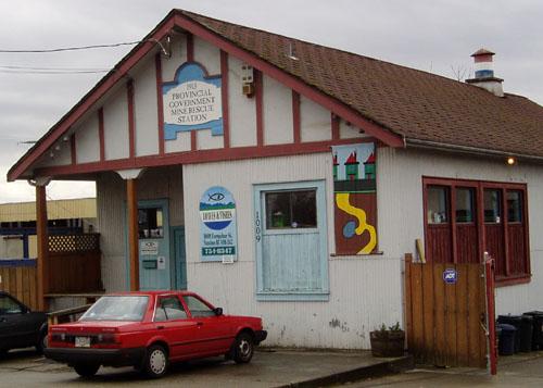
Photo: City of Nanaimo, Christine Meutzner
- Construction
- 1913
- Reconnaissance
- 2002
- Par
- Administrations locales (C.-B.)
Le texte du répertoire, mot pour mot
Description
The Provincial Government Mine Rescue Station is a one-storey utilitarian building located in one of Nanaimo's oldest neighbourhoods. The historic place is confined to the building footprint.
Valeur patrimoniale
The Provincial Government Mine Rescue Station is exceptionally important as a rare, direct link to Nanaimo's coal mining industry, the most important economic activity for almost 100 years. Nanaimo's coal mines were among the most dangerous in the world with over 2000 injuries and fatalities recorded during the coal mining era. During this period, from the early 1850s to the early 1950s, the threat of mining disasters was always present and mining conditions were the source of repeated labour conflicts and community disruptions. Although accidents could never be completely prevented, Mine Rescue Station operations did much to improve the situation by providing practical training and communicating provincial-level commitment to the community.
The Provincial Government Mine Rescue Station's value resides in its location in one of the city's oldest mixed-use neighbourhoods, adjacent to the former site of one of the largest coal mining complexes in British Columbia history, residences, stores and to the industrial waterfront.
Built in 1913, the Provincial Government Mine Rescue Station is a good example of a vernacular, utilitarian building and one of the oldest known local uses of corrugated iron cladding.
SourceCity of Nanaimo, Development Services Department, file #6800-20-H01-02/1009 Farquhar Street
Éléments caractéristiques
-all of the elements of the original vernacular design including the simple form and massing, the corrugated iron sheeting, the scroll-cut column capitals, the half timbering in front gable end, the inset front corner porch, and the signage in the front gable end.
-the location in an early mixed residential-industrial neighbourhood, adjacent to the industrial waterfront.
Fin du texte du répertoire
Emplacement
49.15589° N, 123.93038° W
Itinéraire (s’ouvre dans un nouvel onglet)L’inscription au répertoire ne rend pas un lieu accessible au public. Beaucoup sont des résidences ou des commerces privés; admirez-les depuis la rue.

Chargement de la carte…
À proximité
Les 127 lieux de Nanaimo


Lieux semblables
Les lieux dont la description du répertoire se rapproche le plus de celle-ci.
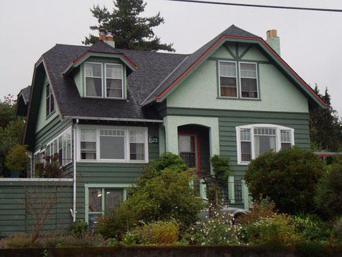 Granby Mine ResidenceNanaimo, Colombie Britannique
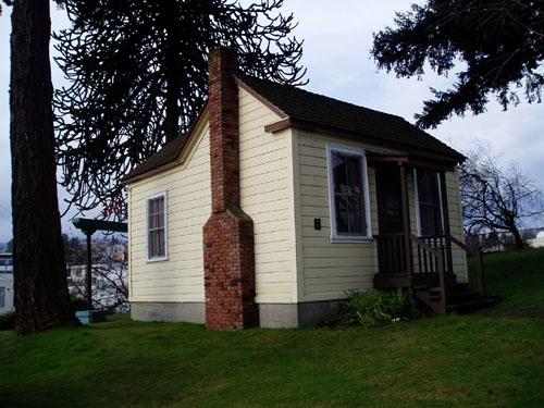 Miner's CottageNanaimo, Colombie Britannique
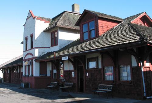 Esquimalt and Nanaimo Railway StationNanaimo, Colombie Britannique
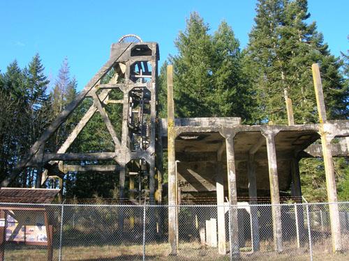 Morden CollieryNanaimo Regional District, Colombie Britannique
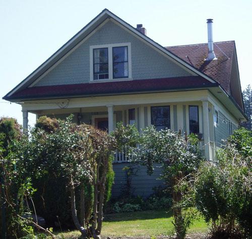 Eighth Street ResidenceNanaimo, Colombie Britannique
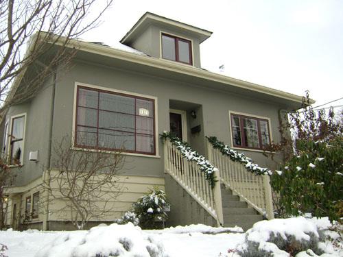 1321 Nanaimo StreetNew Westminster, Colombie Britannique
Tiré du Répertoire canadien des lieux patrimoniaux, dans sa dernière mise à jour du 12 décembre 2025. Le texte du répertoire est reproduit mot pour mot.