No. 1 Road Pumpstation
Description
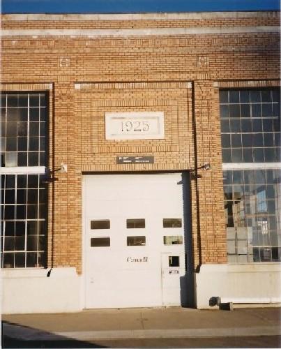
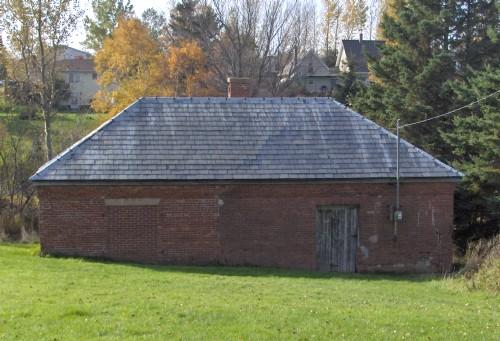
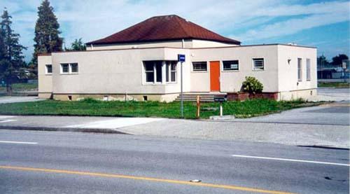
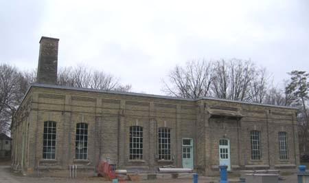
The No. 1 Road Pumpstation is an historic place that is representative of Richmond's city wide drainage system, and consists of below-grade pumps, drainage pipes, and a utilitarian pumphouse building. It occupies a portion of the road right-of-way at the south foot of No. 1 Road.
Valeur patrimoniale
The No. 1 Road Pumpstation is significant because it is representative of Richmond's historic drainage system, it is symbolic of the City's relationship to the Fraser River, and it is a visual demonstration of the evolution of the technology employed to drain the land.
The building reflects the necessity, since the first settlers arrived on Lulu Island, to dyke and drain the land to make it suitable for habitation and cultivation. Historically, drainage channels were directed to the edges of the islands where floodboxes were installed to regulate water flow. These floodboxes were located at regular intervals at the ends of channels which followed the original survey grid, and later, the pattern of roads. The pumpstations that dot Richmond's landscape are a visual and technological reminder of the historic efforts taken to systematically dyke and drain the land, first individually and by hand in the late nineteenth century, and then in a more controlled fashion by Richmond's two dyking commissions using motorized dredges after 1905.
The pumpstations show patterns of human interaction with the land and act as familiar visual beacons. They also demonstrate the engineering aspects of the system by making the pumps, pipes and other equipment visible.
Source: City of Richmond Clerk's Department File #4200-02
Éléments caractéristiques
Character defining elements of the No. 1 Road Pumpstation include:
- Its location as part of a city-wide pattern of pumpstations located around the perimeter of Lulu and Sea Islands which correspond to the city grid and mark the locations of early floodboxes
- Its historic role as the main destination for stormwater through the southwest section of Lulu Island which flows through the main drainage canal along No. 1 Road
- The utilitarian nature of the structure and the drainage pump and the visibility of the ditches, pipes and drainage pumps which replaced the early wooden floodboxes
- The relationship of the building and mechanical elements to the site, the road and the river
Location
Loading map...
Lieux similaires
Sites patrimoniaux avec des caractéristiques semblables