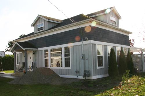
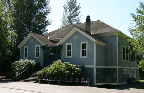
Photo: City of Surrey, 2007
- Construction
- 1883
- Reconnaissance
- 1998
- Par
- Administrations locales (C.-B.)
Le texte du répertoire, mot pour mot
Description
Mud Bay School is a one-storey wood-frame building with a rectangular plan and hipped roof located in the Mud Bay neighbourhood, adjacent to the King George Highway, between the Nicomekl and Serpentine Rivers. The building, originally a one-room school, is now a residence.
Valeur patrimoniale
Mud Bay School is valued as the second oldest extant school in Surrey, and as an indication of the important role of education in Surrey’s early settlement. Built in 1883 by John Murchison on land donated by early residents John and Margaret Chantrell, the school was strategically located close to the Semiahmoo Trail, halfway between the settlements of Woodward Hill to the north and Elgin and Crescent Beach to the south. With shifting demographics in the area, and more settlement to the south, Mud Bay School was closed permanently in 1920.
The building is further valued for its changes in function and use through time. Initially built as a school at the centre of the community, the building had an important multi-functional role in the Mud Bay area. For example, it also served as a church until Elgin United Church was built across the road in 1887. The building also functioned as a manual training centre from 1929-1931, after which it became a private residence. Mud Bay School remains in its original location.
Mud Bay School is also valued as an example of the standardized design for schools during this period, as reflected in the symmetrical rectangular plan with hipped roof and banks of fenestration. Although the building has been drastically modified from its original design, the basic form, scale and massing have been retained.
SourceCity of Surrey Planning Department
Éléments caractéristiques
Key elements that define the heritage character of the Mud Bay School include its:
- location on its original lot, situated east of and facing King George Highway in Mud Bay
- siting on flat agricultural land close to the Nikomekl and Serpentine Rivers
- vernacular institutional form, such as regular rectangular plan, hipped roof and fenestration
Fin du texte du répertoire
Emplacement
49.08173° N, 122.81996° W
Itinéraire (s’ouvre dans un nouvel onglet)L’inscription au répertoire ne rend pas un lieu accessible au public. Beaucoup sont des résidences ou des commerces privés; admirez-les depuis la rue.

Chargement de la carte…
À proximité
Les 82 lieux de Surrey
Lieux semblables
Les lieux dont la description du répertoire se rapproche le plus de celle-ci.
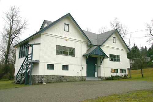 South Westminster SchoolSurrey, Colombie Britannique
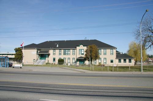 Cloverdale Elementary SchoolSurrey, Colombie Britannique
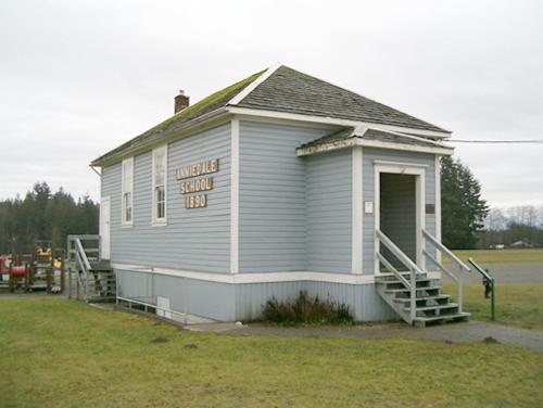 Old Anniedale SchoolSurrey, Colombie Britannique
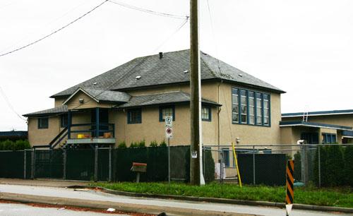 Tynehead Elementary School West WingSurrey, Colombie Britannique
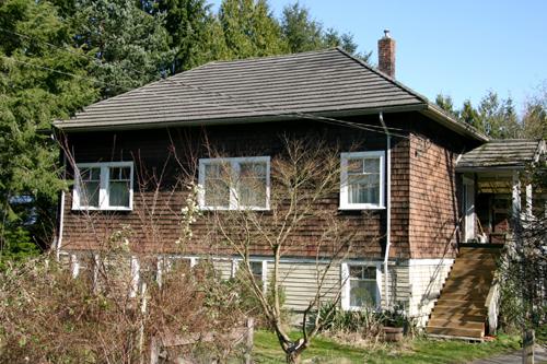 Pitt Meadows School HousePitt Meadows, Colombie Britannique
 Clayburn SchoolAbbotsford, Colombie Britannique
Tiré du Répertoire canadien des lieux patrimoniaux, dans sa dernière mise à jour du 12 décembre 2025. Le texte du répertoire est reproduit mot pour mot.