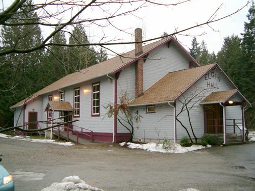
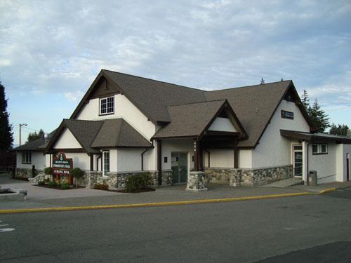
Photo: City of Surrey 2004
- Construction
- 1923
- Reconnaissance
- 1980
- Par
- Administrations locales (C.-B.)
Le texte du répertoire, mot pour mot
Description
The Elgin Hall is a single-storey, wood-frame vernacular building with a gabled roof, gabled entry hall and gabled porch.
Valeur patrimoniale
The Elgin Hall is valuable to the community of Elgin, and adjacent Mud Bay, for its cultural association with community life and as a testament to community spirit and generosity. Until 1875, Semiahmoo Trail was the only passable land route between New Westminster and Blaine, and with the construction of the Elgin Hotel in 1870 this became an important stop-over point for travellers to and from the United States. The low-lying land in the area flooded frequently, but after a series of dykes were constructed, agriculture became the predominant local activity, spurring a growth in population.
In the early years of this rural community, families gathered for social events in various homes, but as the population began to increase in the early 1920s, the need for a larger space for community events became more pressing.
The Elgin Community Association was formed in 1922 to raise funds for the construction of this hall. Daniel Johnson donated the land and carpenter John Anderson and a volunteer crew undertook the construction work. The Hall opened in 1923. A unique feature is the surviving sprung maple dance floor. It stands in a residential area and is still used for community events.
SourceHeritage Planning Files, City of Surrey
Éléments caractéristiques
The character-defining element of Elgin Hall include its:
- location in a residential area
- form, scale and massing
- exterior elements such as the decorative eave brackets in the gable ends; the front elevation with the gable ends of the hall, entry hall, and porch giving a telescopic effect
- interior elements such as fir wainscotting and with horizontal and diagonal tongue-and-groove above; and the original sprung maple floor, packed with horsehair
Fin du texte du répertoire
Emplacement
49.06687° N, 122.82746° W
Itinéraire (s’ouvre dans un nouvel onglet)L’inscription au répertoire ne rend pas un lieu accessible au public. Beaucoup sont des résidences ou des commerces privés; admirez-les depuis la rue.

Chargement de la carte…
À proximité
Les 82 lieux de Surrey
Lieux semblables
Les lieux dont la description du répertoire se rapproche le plus de celle-ci.
 Silverhill HallMission, Colombie Britannique
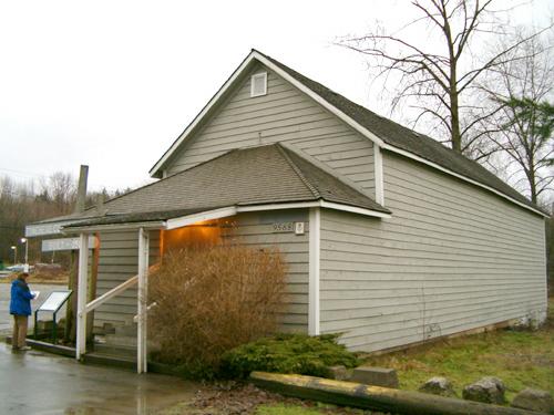 Tynehead Community HallSurrey, Colombie Britannique
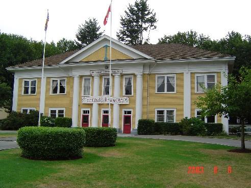 Fort Langley Community HallLangley, Colombie Britannique
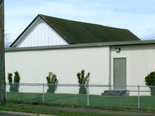 1881 Town HallSurrey, Colombie Britannique
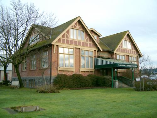 1912 Municipal HallSurrey, Colombie Britannique
 Qualicum Beach Community HallQualicum Beach, Colombie Britannique
Tiré du Répertoire canadien des lieux patrimoniaux, dans sa dernière mise à jour du 12 décembre 2025. Le texte du répertoire est reproduit mot pour mot.