Aire protégée
Lemsford Ferry Tipi Rings Protected Area
Newcombe RM 260, Saskatchewan
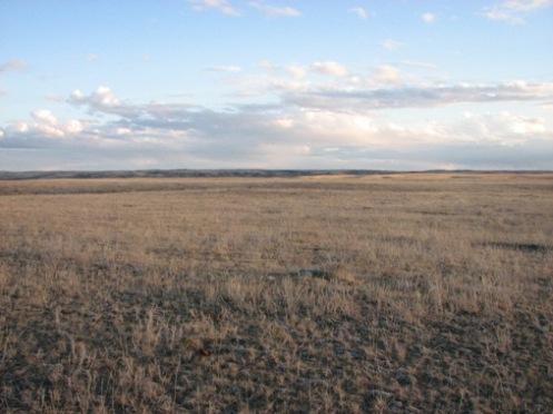
Photo: Government of Saskatchewan, Marvin Thomas, 2007.
- Reconnaissance
- 1986
- Par
- Gouvernement de la Saskatchewan
Le texte du répertoire, mot pour mot
Description
The Lemsford Ferry Tipi Rings Protected Area encompasses 36 hectares of land on the north rim of the South Saskatchewan River valley in southwestern Saskatchewan. The site contains at least 158 stone rings, 30 rock cairns and a buffalo rubbing stone.
Valeur patrimoniale
The heritage value of the Lemsford Ferry Tipi Rings Protected Area lies in its large and well-preserved collection of stone features that provide information regarding precontact bison hunting cultures. The property’s numerous stone rings once held down the hide coverings of conical lodges (tipis) that could be easily transported as the hunters followed a seasonal round focused on bison. Individual rings reveal the internal structure of dwellings, while the distribution of rings across the property shows how campsites were organized. It is thought that the rock cairns may have protected food caches or were stockpiles of rock for hearths and tipi anchors. One site investigator felt that two of the cairns might mark burials. A large boulder, polished by bison rubbing against it, attests to the one-time presence of this important animal.
Recurring use of the property is suggested by groupings of similar size rings, superimposed rings and rings with missing rocks, presumably scavenged for later constructions. Undoubtedly, the expansive view from the valley edge, prime game habitat, and ready availability of wood, water, and rock were factors that brought people back to the site repeatedly.
Source:
Province of Saskatchewan, The Parks Act, May 26, 1986.
Éléments caractéristiques
The heritage value of the Lemsford Ferry Tipi Rings Protected Area resides in the following character-defining elements:
-elements of the property’s natural environment that would have contributed to its attractiveness as a precontact campsite, including its native vegetation, undisturbed landforms, and expansive, unobstructed views of the river valley;
-elements that reflect precontact First Nations use of the property, including features such as stone rings, cairns and hearths; precontact artifacts; and the spatial relationships and environmental context of the cultural remains;
-elements that indicate the former presence of bison, such as large boulders with polished surfaces that were used by the animals as rubbing stones.
Fin du texte du répertoire
Lieux semblables
Les lieux dont la description du répertoire se rapproche le plus de celle-ci.
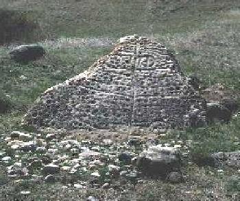 Herschel Petroglyph/Tipi Ring SiteMountain View RM 318, Saskatchewan
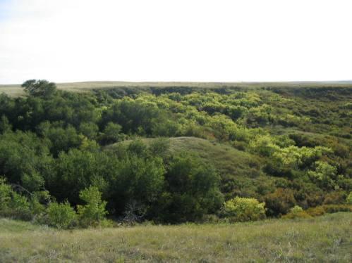 Walter Felt Bison Drive Protected AreaWheatlands RM 163, Saskatchewan
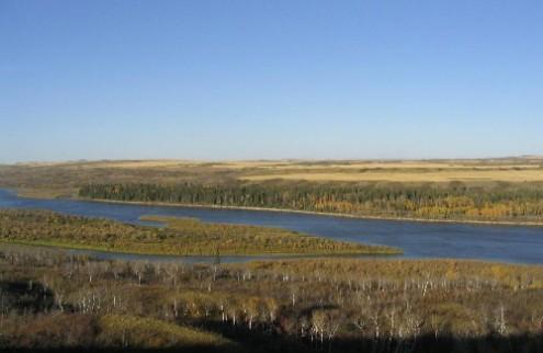 Pine Island Trading Post Protected AreaTurtle River RM 469, Saskatchewan
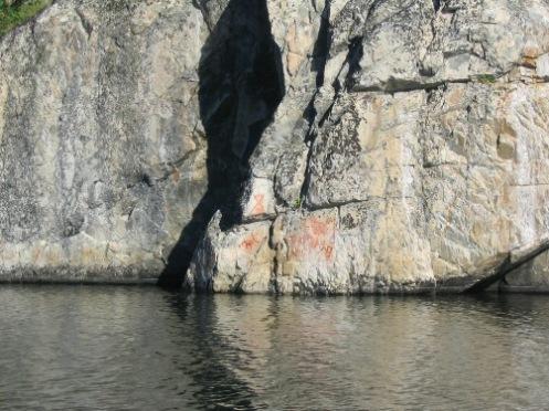 Hickson - Maribelli Lakes Pictographs Protected AreaNorthern Saskatchewan Administration District, Saskatchewan
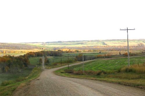 Fort Pitt Provincial ParkFrenchman Butte RM 501, Saskatchewan
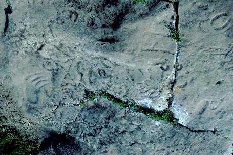 St. Victor Petroglyphs Provincial ParkWillow Bunch RM 42, Saskatchewan
Tiré du Répertoire canadien des lieux patrimoniaux, dans sa dernière mise à jour du 12 décembre 2025. Le texte du répertoire est reproduit mot pour mot.