Parc provincial
St. Victor Petroglyphs Provincial Park
Willow Bunch RM 42, Saskatchewan
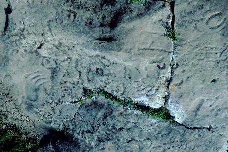
Photo: Government of Saskatchewan, 1982.
- Reconnaissance
- 1986
- Par
- Gouvernement de la Saskatchewan
Le texte du répertoire, mot pour mot
Description
St. Victor Petroglyphs Provincial Park consists of 3.9 hectares of partially wooded land on the slope of the Wood Mountain upland. The property features over 300 precontact rock carvings on a large sandstone outcrop.
Valeur patrimoniale
The heritage value of St. Victor Petroglyphs Provincial Park resides in its status as the site of the largest concentration of precontact rock art in Saskatchewan and one of the few sites in Canada where carvings are found on a horizontal rock face. The carvings are significant for information they reveal regarding First Nations cosmology, spirituality, symbolism and artistic expression. The carved animal tracks, human and animal figures, geometric shapes and representations of genitalia are typical of a rock art tradition attributed to Siouan speakers of the Late Precontact Period (ca. 500 to 1750 A.D.). The association of vulva forms with cloven-hoofed animal tracks relates to Siouan mythological themes of fertility and the sacred relationship between women and bison. As such, the petroglyphs likely reflect a concern for the productivity of game animals and may have been the focus of rituals intended to ensure success in the hunt.
The site continues to be important to First Nations who regard the petroglyphs and the rock outcrop itself as sacred. Traditional ceremonies conducted in the park reinforce cultural identity and contribute to a process of cultural and spiritual revitalization.
Source:
Province of Saskatchewan, The Parks Act, May 26, 1986.
Éléments caractéristiques
The heritage value of St. Victor Petroglyphs Provincial Park resides in the following character-defining elements:
-elements that reflect the site’s spiritual and cultural significance, such as the carvings and the otherwise unaltered rock surfaces, including any boulders or slabs of rock that have fallen from the outcrop; the site’s natural setting with its dramatic vistas that evoke a sense of spiritual power; and access to the site for First Nations ceremonial purposes;
-elements that reveal additional information regarding precontact use of the site, including associated artifacts and cultural features such as bone deposits and hearths; and the spatial relationships and environmental context of the archaeological remains.
Fin du texte du répertoire
Emplacement
49.41203° N, 105.86838° W
Itinéraire (s’ouvre dans un nouvel onglet)L’inscription au répertoire ne rend pas un lieu accessible au public. Beaucoup sont des résidences ou des commerces privés; admirez-les depuis la rue.

Chargement de la carte…
À proximité
Lieux semblables
Les lieux dont la description du répertoire se rapproche le plus de celle-ci.
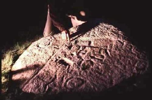 Swift Current Creek Petroglyph BoulderSwift Current RM 137, Saskatchewan
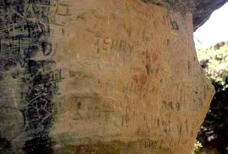 La Roche Percee Provincial Historic SiteCoalfields RM 4, Saskatchewan
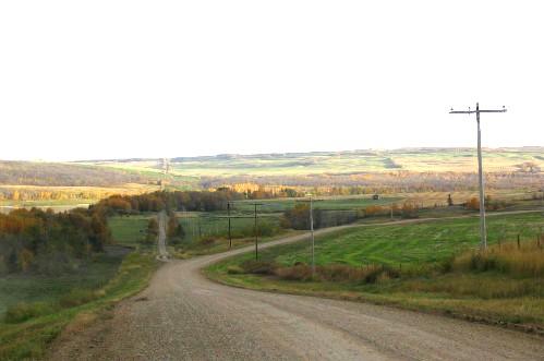 Fort Pitt Provincial ParkFrenchman Butte RM 501, Saskatchewan
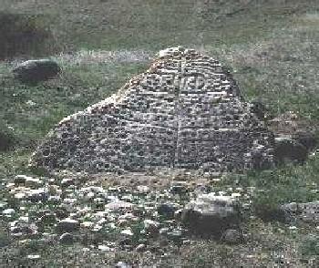 Herschel Petroglyph/Tipi Ring SiteMountain View RM 318, Saskatchewan
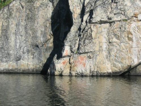 Hickson - Maribelli Lakes Pictographs Protected AreaNorthern Saskatchewan Administration District, Saskatchewan
 West River Petroglyph SiteBonshaw, Ile Du Prince Edouard
Tiré du Répertoire canadien des lieux patrimoniaux, dans sa dernière mise à jour du 12 décembre 2025. Le texte du répertoire est reproduit mot pour mot.