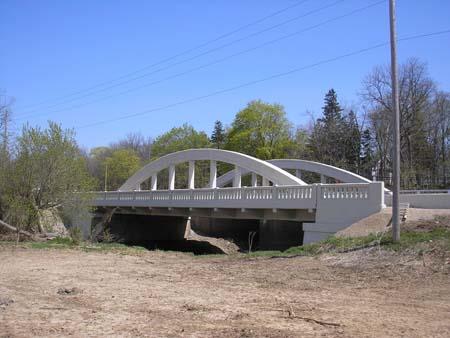
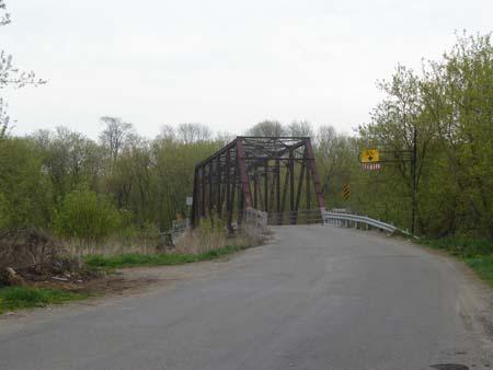
Photo: County of Brant, Community and Development Services, 2007.
- Construction
- 1931
- Reconnaissance
- 2006
- Par
- Administrations locales (Ont.)
Le texte du répertoire, mot pour mot
Description
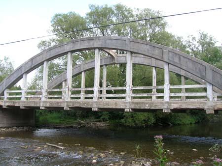
The Brant Bowstring Bridge spans the Fairchild Creek on Colborne Street East between Brant Avenue in Brantford and Gilkison Street in the County of Brant. The property consists of a single-span concrete bowstring arch bridge that was constructed in 1931.
The property was designated by the County of Brant in 2006 for its historic and architectural significance under Part IV of the Ontario Heritage Act (By-law 198-06).
Valeur patrimoniale
The Brant Bowstring Bridge is the only bowstring arch bridge in the County of Brant. Spanning the Fairchild Creek on Colborne Street East at the boundary between the City of Brantford and the County of Brant it serves as a gateway marker. Built in 1931 of reinforced concrete, it was part of the Ontario Governments upgrading of transportation networks after World War I to accommodate the increasing number of automobiles in the area. The bridge's bowstring design was popular in the 1920s and 1930s as it required minimal material, was simple to install and could easily accommodate vehicular traffic.
The Brant Bowstring Bridge has a width of 11.7 metres with arches of 31 metres and a road width of 7.2 metres. It is considered by some to be the sister bridge to the Main Street Bridge in Cambridge, which was also constructed in 1931 using the bowstring design.
SourceCounty of Brant By-law 198-06.
Éléments caractéristiques
Character defining elements that contribute to the heritage value include its:
- reinforced concrete bowstring arch construction
- original dimensions of 11.7 metre width and 7.2 metre road width and including the 31 metre arches
- decorative concrete rails and balustrades
- concrete deck beams.
- location on the Boundary between the City of Brantford and the County of Brant, serving as a gateway marker
- location on the Grand River.
Fin du texte du répertoire
Emplacement
43.13844° N, 80.26882° W
Itinéraire (s’ouvre dans un nouvel onglet)L’inscription au répertoire ne rend pas un lieu accessible au public. Beaucoup sont des résidences ou des commerces privés; admirez-les depuis la rue.

Chargement de la carte…
À proximité
Les 16 lieux de County of Brant Manège militaireà moins de 100 m · Brantford · 1893
 Brant Avenue Heritage Conservation District150 m · City of Brantford · 1870
 Lawyer's Hall150 m · City of Brantford · 1869
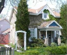 125 Grand River Avenue200 m · City of Brantford · 1880
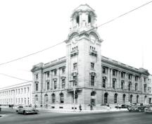 Édifice fédéral300 m · Brantford · 1913
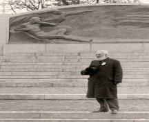 Bell Monument300 m · City of Brantford · 1917
Lieux semblables
Les lieux dont la description du répertoire se rapproche le plus de celle-ci.
Tiré du Répertoire canadien des lieux patrimoniaux, dans sa dernière mise à jour du 12 décembre 2025. Le texte du répertoire est reproduit mot pour mot.