Provincial Heritage Site
Flee Island Dakota Entrenchment
Portage la Prairie, Manitoba
Also known as Borden Number EaLm-2, Numero Borden EaLm-2
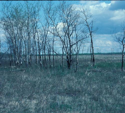
Contextual view in which poplar trees mark the location of part of the Flee Island Dakota Entrenchment, Portage la Prairie area, 2005
Photo: Historic Resources Branch, Manitoba Culture, Heritage, Tourism and Sport, 2005
- Recognized
- 1954
- By
- Province of Manitoba
The register’s text, word for word
Description
The Flee Island Dakota Entrenchment is located within a small stand of aspen trees, surrounded by an open grassland pasture. Shallow pits and trenches, scattered stones and uneven ground are the barely visible remains of the historic site. The provincial designation applies to the approximately 10,000 square metre area that contains the site.
Heritage value
Flee Island Dakota Entrenchment is one of three 'cunkaské', a rare Manitoba example of a traditional First Nations fortified encampment. The intermittent earthen embankments served as a defensible position that protected an enclosed area against attacks from American bounty hunters in 1862. The numerous deep, circular and linear pits within the enclosure are the remnants of protective trenches that served as defensive positions for the armed Dakota defenders. Historic accounts about this locale suggest that Flee Island was the last battle site of the conflict between the Dakota Sioux and the Americans. The site continues to be culturally significant for First Nations groups, as is demonstrated by the coloured cloth ribbons that are tied to the trees in the small grove of aspens; the colours (white, red, green and black) represent the four directions in First Nations lore.
SourceHistoric Sites Advisory Board Meeting, December 7, 1954
Character‑defining elements
The features that define the heritage character of Flee Island Dakota Entrenchment include:
- the small grove of aspen trees surrounded by an open grassland pasture
- a discontinuous earthen embankment feature that is approximately circular in shape with a height that varies from 0.3 to 1 metres
- the area surrounding the embankment, which is a gently rolling landscape, and which is within the view-shed of the site
- the numerous shallow pits located within the embankment
End of the register’s text
Location
Portage la Prairie, Manitoba, R0H, Canada
50.06001° N, 98.09036° W
Get directions (opens in a new tab)Being on the register doesn’t make a place open to visitors. Many are private homes or businesses; please view them from the street.

Loading map…
 St. Anne's Anglican Church5.1 km · 1862
 St. Ambroise Dakota Entrenchment8.6 km
 First Homestead in Western Canada National Historic Site of Canada14 km · 1872
 Canadian Pacific Railway Station17 km · 1893
 Portage la Prairie Land Titles Building17 km · 1889
 VIA Rail/Canadian National Railways Station17 km · 1908
Similar places
Places whose register descriptions are closest to this one.
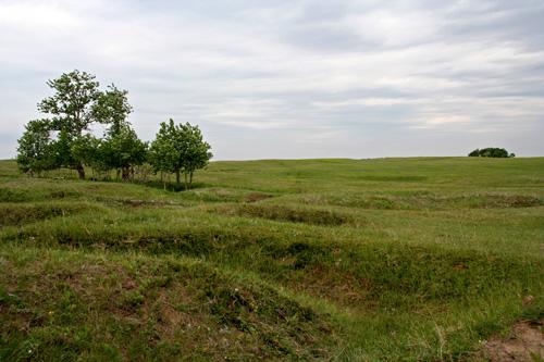 Camp Hughes Military Training SiteCarberry, Manitoba
 Brockinton National Historic Site of CanadaMelita, Manitoba
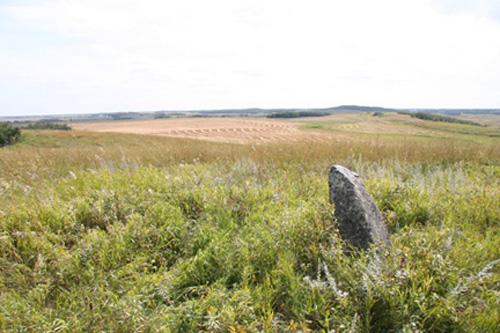 Arrow River Standing Stone SiteHamiota, Manitoba
 Frenchman Butte National Historic Site of CanadaFrenchman Butte, Saskatchewan
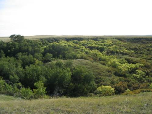 Walter Felt Bison Drive Protected AreaWheatlands RM 163, Saskatchewan
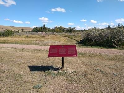 Cypress Hills Massacre National Historic Site of CanadaMaple Creek, Saskatchewan
From the Canadian Register of Historic Places, as last updated on December 12, 2025. The register’s text is shown word for word.