National Historic Site of Canada
First Geodetic Survey Station National Historic Site of Canada
Kingsmere, Quebec
Also known as First Geodetic Survey Station, Première station géodésique
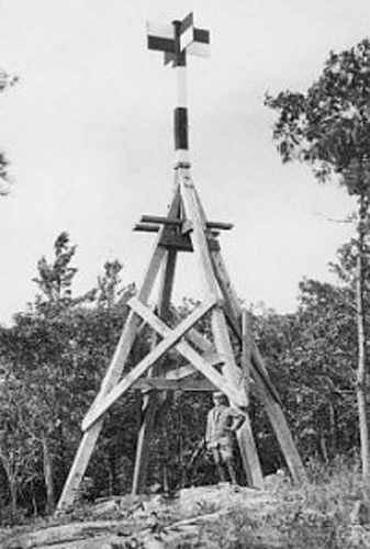
Historic image of the First Geodetic Survey Station.
Photo: Natural Resources Canada \ Ressources naturelles Canada, n.d.
- Built
- 1905
- Recognized
- 1929
- By
- Government of Canada
The register’s text, word for word
Description
First Geodetic Survey Station National Historic Site of Canada is located on the south slope of King Mountain in Gatineau Park, Quebec. It was the first geodetic station established in Canada and consisted of a point, referred to as an “eccentric station,” represented by a copper survey bolt, bearing lettering on its top surface, driven into the ground and secured with cement. The site is 2.3 square metres in area, approximately the same size as the former tower. The official survey refers to the present location of the copper bolt.
Heritage value
First Geodetic Survey Station was designated a national historic site of Canada in 1929. It is recognized because:
- it was here that commenced the triangulation system of the Geodetic Survey of Canada, the basis of surveys for all purposes, topographical, engineering, and cadastral.
Geodesy is the scientific discipline that deals with the measurement and representation of the dimensions and shape of the Earth. When a network of geodetic points is established by “triangulation,” it is possible to define the geometric structure of the Earth by measuring triangular elements. These geodetic points are copper bolts, often located on mountaintops to ensure intervisibility over distances of up to several tens of kilometres.
In 1888, the Association of Dominion Land Surveyors increased activities aimed at setting up a geodetic service in Canada. After years of research by Director William Frederick King and others, the first geodetic surveys were carried out in Canada, beginning in June 1905 at Kingsmere, in the National Capital Region. The first geodetic point (or geodetic station), named King MTN, was installed approximately 14 kilometres from Ottawa. The point was selected because it is the most visible from the federal observatory at the Central Experimental Farm. This geodetic point would not be long used because its visibility is unsatisfactory. A second point, called an “eccentric station” was selected in September 1909. This second point is located at an elevation 64 metres (211 feet) lower than the original station, and it became the point of reference. It is located at 45º 29' 20.56787" N, 75º 51' 45.26354" W.
SourceHistoric Sites and Monuments Board of Canada, Minutes, 1930, June 2008.
Character‑defining elements
Key elements contributing to the heritage value of this site include:
- its location on the south slope of King Mountain, in Gatineau Park, Quebec;
- the copper survey bolt, bearing lettering on its top surface, driven into the ground and secured with cement;
- the views from the bolt and the surrounding landscape of Gatineau Park.
End of the register’s text
Location
Mont King, Kingsmere, Quebec, Canada
45.48905° N, 75.86257° W
Get directions (opens in a new tab)Being on the register doesn’t make a place open to visitors. Many are private homes or businesses; please view them from the street.

Loading map…
Nearby
Similar places
Places whose register descriptions are closest to this one.
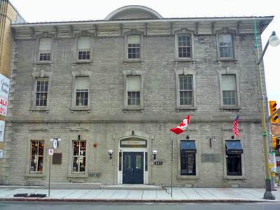 Former Geological Survey of Canada Building National Historic Site of CanadaOttawa, Ontario
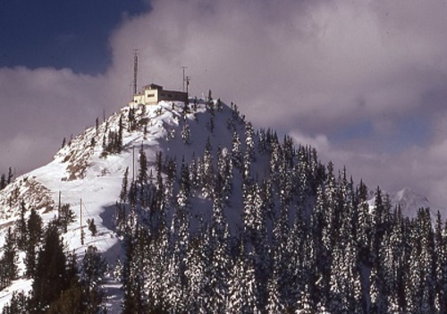 Sulphur Mountain Cosmic Ray Station National Historic Site of CanadaBanff National Park of Canada, Alberta
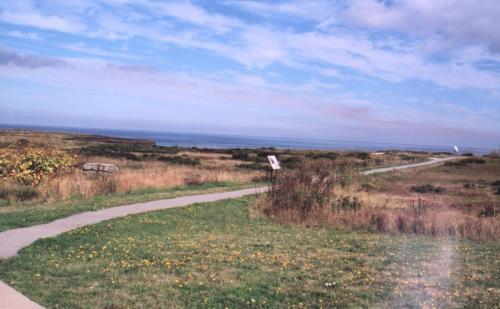 Marconi National Historic Site of CanadaGlace Bay, Nova Scotia
- 00 Survey BenchmarkCumberland, British Columbia
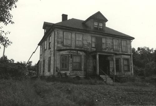 Marconi Wireless Station National Historic Site of CanadaMarconi Towers, Nova Scotia
 Île-Verte Lighthouse National Historic Site of CanadaNotre-Dame-des-Sept-Douleurs, Quebec
From the Canadian Register of Historic Places, as last updated on December 12, 2025. The register’s text is shown word for word.