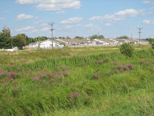
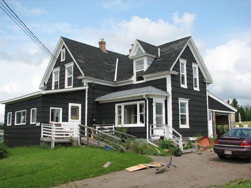
Darois-Breau Founders' Site - view of the marsh with residences in the background
Photo: City of Dieppe
- Recognized
- 2006
- By
- Local government
The register’s text, word for word
Description
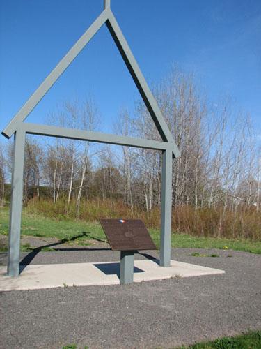
Darois-Breau Founders’ Site is plaque marking the area where the first families in the region settled. The plaque is located on the dike near the bicycle trail southeast of the Paul Street extension in the City of Dieppe.
Heritage value
Darois-Breau Founders’ Site is designated a Local Historic Place because it recognizes the surrounding area that was settled by the founders of what would later become the city of Dieppe.
Jean Darois and his future brother-in-law, Sylvain Breau, founded a village in this area around 1732. Even after soldiers burned down the houses in 1755, most of the residents resisted expulsion of the Acadians before eventually leaving for Louisiana. Around 1774, Germain Thibodeau and Joseph Surette married the Babineau sisters and relocated to the area, helping to resettle what would become Village-d’en-Haut, precursor to the City of Dieppe. The plaque is located adjacent to the meadow and marsh that represents this first settlement. The nearby dike is evidence of the agriculture-based existence of these early settlers.
SourceCity of Dieppe, file D13
Character‑defining elements
The character-defining elements that describe Darois-Breau Founders’ Site include:
- plaque with interpretation panel;
- location of the plaque adjacent to the meadow, marsh and the dike.
End of the register’s text
Location
Paul Street (extension), Dieppe, New Brunswick, E1A, Canada
46.09617° N, 64.75828° W
Get directions (opens in a new tab)Being on the register doesn’t make a place open to visitors. Many are private homes or businesses; please view them from the street.

Loading map…
Nearby
All 53 places in Dieppe
Similar places
Places whose register descriptions are closest to this one.
From the Canadian Register of Historic Places, as last updated on December 12, 2025. The register’s text is shown word for word.